The Wiregrass & Southeast Alabama
The Wiregrass and southeast Alabama: Creek country on the Chattahoochee, Eufaula's historic streets, peanut farms, Army helicopters and longleaf pine forests.
This was Lower Creek country. Three Creek towns faced each other across the Chattahoochee where Eufaula now stands, and the town kept one of their names. The 1832 Treaty of Cusseta promised Creek families land of their own; speculators and squatters took it, and after the last fights of the Creek War of 1836, along the Pea River on the Pike and Barbour county line, the Army drove nearly all of them west.
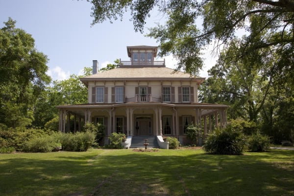
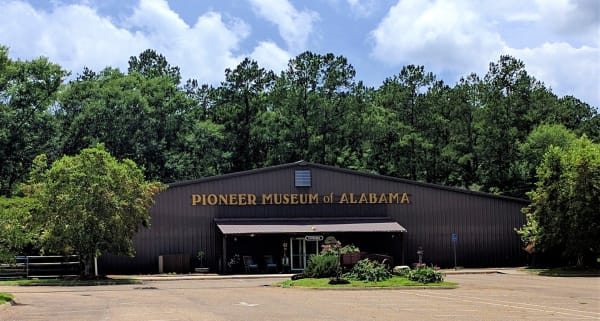
Cotton followed, worked by enslaved people. Eufaula's bluff-top streets and Italianate houses, Fendall Hall among them, were built on that money, and around Union Springs seven in ten people were enslaved. On election day in 1874 armed white men fired on Black voters on Eufaula's Broad Street, killing at least seven. Below the Black Belt lay the Wiregrass, named for the grass under its longleaf pines: thin soil, small farms and sharecroppers. Troy's Pioneer Museum keeps a sharecropper's tenant house; John Lewis was born to Pike County sharecroppers in 1940.
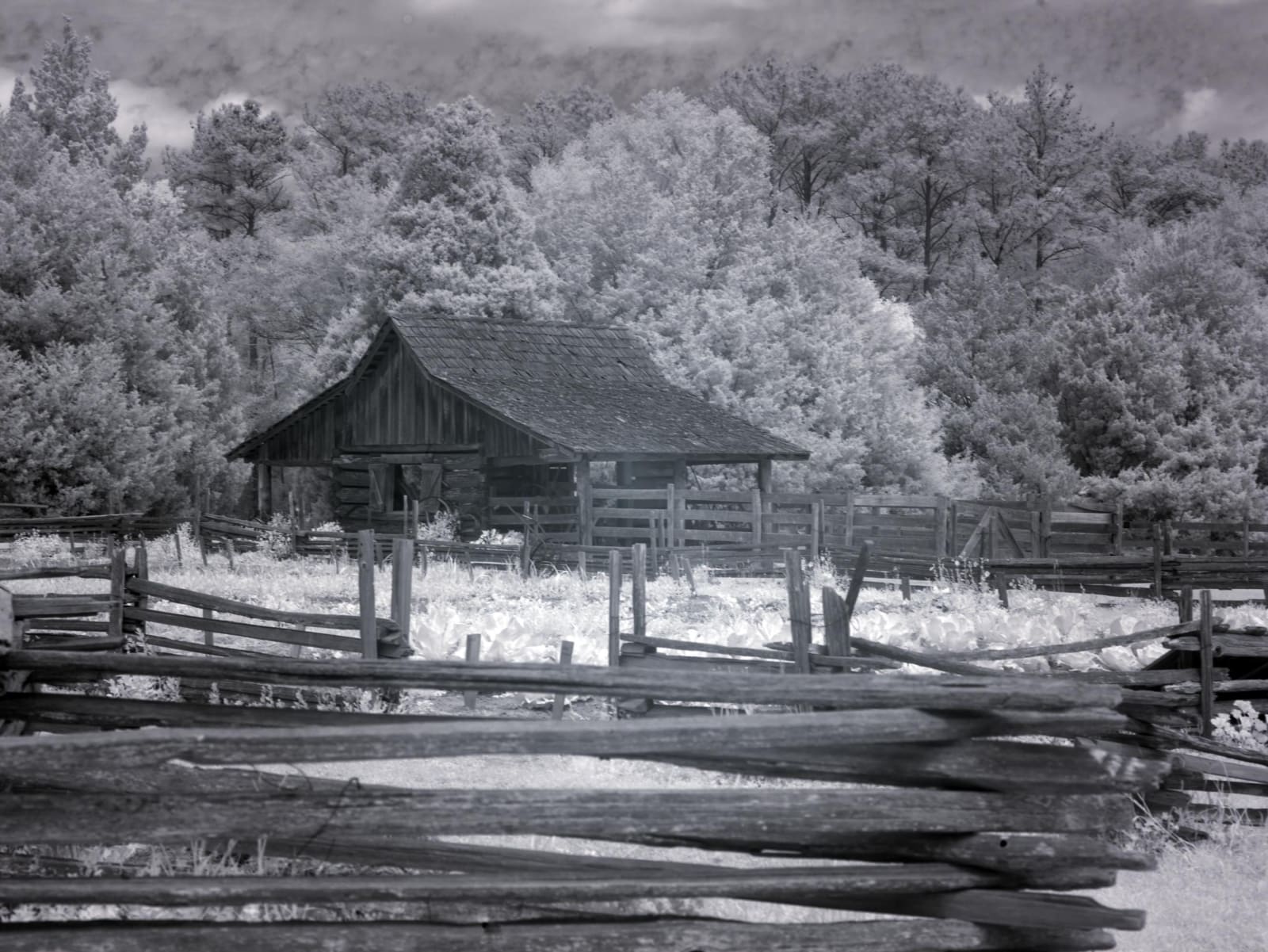
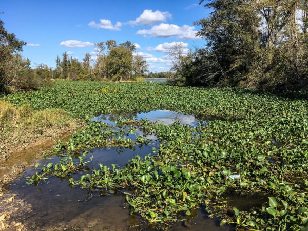
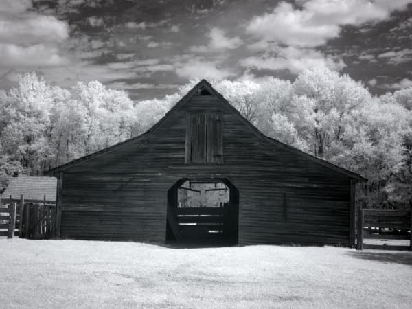
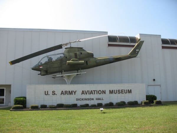
When the boll weevil ruined the cotton, the Wiregrass planted peanuts, and Enterprise put up a statue to the pest. Dothan's Landmark Park keeps an 1890s farm, and a museum in its old segregated bus station tells Carver's story. Fort Rucker, home of Army aviation, shows off its helicopters. For wild country, drive the wildlife loop at the Eufaula refuge or walk the longleaf woods of the Conecuh National Forest.
What to See in The Wiregrass & Southeast Alabama
10 places across the region, grouped by what they are.
Natural Areas

Historic Sites

Towns & Gateways
The Wiregrass & Southeast Alabama rewards the unhurried. Pick a base, fan out, and let the country between the headline stops surprise you.
← Explore more of Open Road Guide