The Story
Parowan Gap is a natural notch in the Red Hills west of Parowan where an ancient river once cut through a low mountain range, leaving behind a wind-sculpted corridor of rock that indigenous peoples used as a travel route, a gathering place, and a canvas for thousands of years. The petroglyphs that line the canyon walls span multiple cultures and millennia — from Archaic-period hunters who passed through over 4,000 years ago to Fremont and Paiute peoples who added their own marks over the following centuries. The result is one of the most significant rock art sites in southwestern Utah, sitting in a roadside location so accessible that you can see some of the panels from your car window.
The most studied and debated feature of the Parowan Gap petroglyphs is a large, complex panel that some researchers believe functions as an astronomical calendar. The arrangement of geometric shapes — circles, lines, spirals, and nested curves — has been analyzed by archaeoastronomers who argue that the panel tracks solar positions at solstices and equinoxes, using the natural notch of the gap itself as an alignment feature. At certain times of the year, sunlight enters the gap at angles that interact with specific elements of the panel, creating alignments that may have marked the passage of seasons for agricultural or ceremonial purposes. The interpretation remains debated — as all rock art interpretation does — but the precision of the geometric arrangements is difficult to dismiss as coincidental.
Other panels along the canyon walls feature more representational imagery — bighorn sheep, human figures, abstract designs, and hunting scenes pecked into the dark desert varnish in the style characteristic of the Fremont culture. The density of imagery at Parowan Gap suggests that the site held significance beyond its practical value as a travel corridor — the concentration of rock art at natural geographic features like mountain passes and canyon narrows is a pattern seen throughout the Southwest, and it likely reflects the cultural importance of these transitional spaces in indigenous worldviews.
The gap is located about 15 miles northwest of Parowan, accessed by Gap Road, which is paved the whole way through. A small parking area and interpretive signs mark the main panel locations, and the walk to the most significant petroglyphs is short — a few hundred yards along the base of the canyon wall. The site is managed by the Bureau of Land Management and is free to visit. There are no facilities beyond the parking area and the interpretive signs.
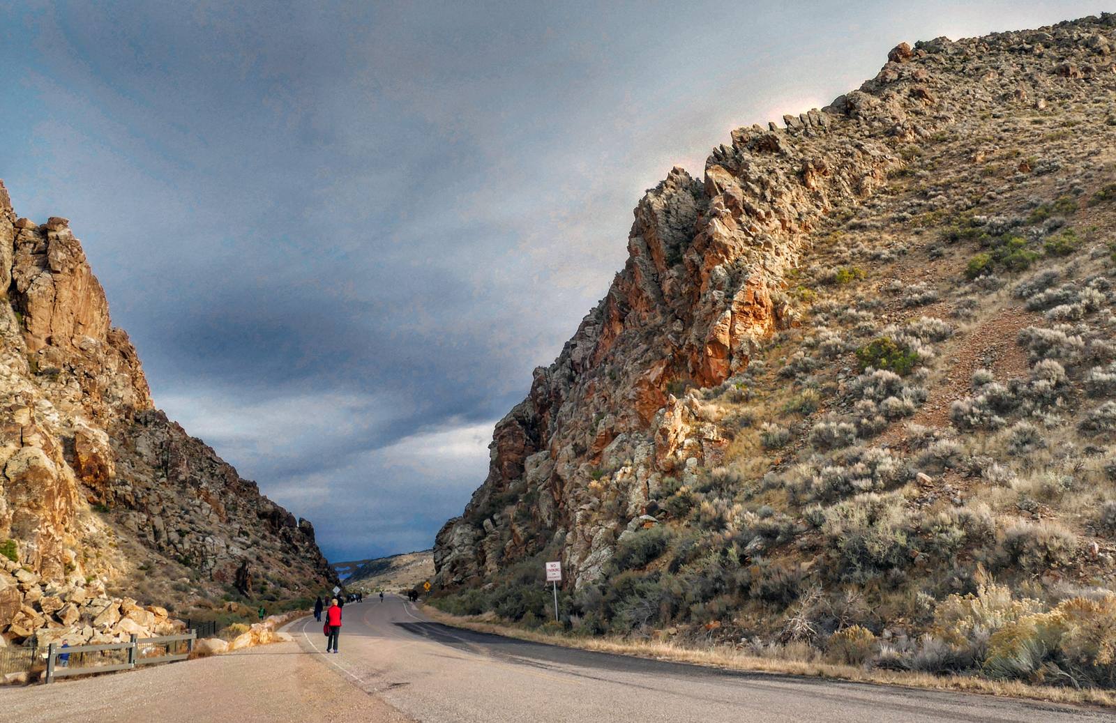
The setting amplifies the rock art. The gap itself is a dramatic geological feature — a narrow corridor through the Red Hills with walls of red and gray rock rising on both sides, framed by the open desert on either end. Standing in the gap, you can see how it would have functioned as a landmark, a waypoint, and a gathering place for people traveling through a landscape with few natural passages. The rock art is concentrated at the points where the walls are most sheltered and most visible — locations chosen with the same eye for placement that a modern artist would use when selecting gallery wall space.
The panels are fragile and irreplaceable. Visitors are asked to stay on the established paths, refrain from touching the rock surfaces, and avoid chalking or wetting the petroglyphs to enhance their visibility for photographs — a practice that damages the varnish and accelerates deterioration. The images have survived for thousands of years in the dry desert air, and with responsible visitation they can survive for thousands more.
Parowan Gap is a quick detour from Interstate 15 — the nearest exit is only about 15 minutes away — and it pairs naturally with a visit to Cedar Breaks National Monument, Brian Head, or the drive to Bryce Canyon. The site takes 30 minutes to an hour to explore, depending on how carefully you examine the panels and how deeply you engage with the interpretive signs. It is the kind of stop that rewards attention — the more closely you look, the more you see, and the more the panels reveal about the people who made them and the landscape they inhabited.
Visitor Info
On the Map
Nearby
The closest stops worth working into your route
Historical markers nearby
Roadside plaques and monuments within a short detour