Cedar Breaks & Brian Head
The high, cool plateau above Cedar City — Cedar Breaks' wildflower amphitheater, the ski town of Brian Head, and the ancient rock art at Parowan Gap.
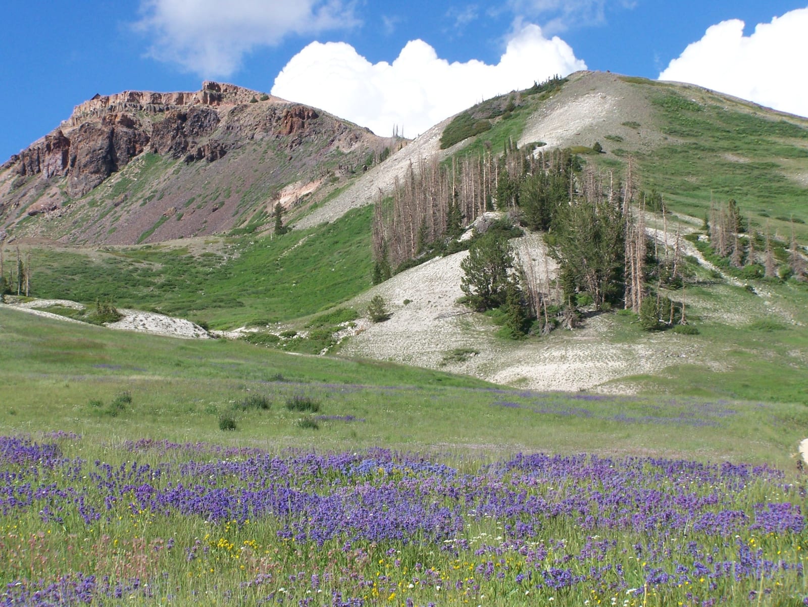
High on the Markagunt Plateau above Cedar City, the land tilts up past 10,000 feet into a cool, thin-aired world of alpine meadows, bristlecone pines, and one of the most underrated wonders in the state. Where the southern parks bake, this country stays green and snow-fed well into summer — the high counterpoint to the red-rock desert below.
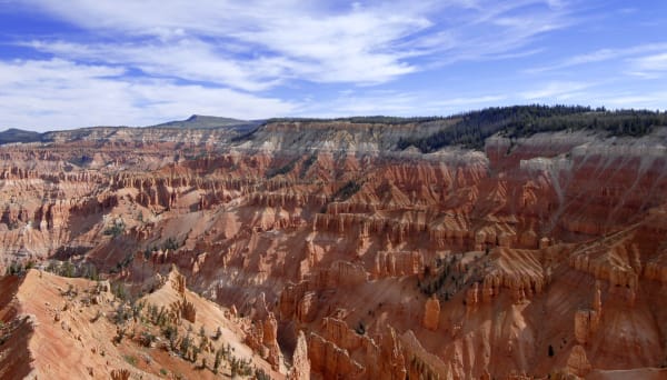
The centerpiece is Cedar Breaks National Monument, a vast natural amphitheater eroded into the same rust-and-cream limestone that built Bryce Canyon, but carved a half-mile higher off the edge of the plateau. Its rim sits above 10,000 feet, fringed with wildflowers in July and ancient bristlecones twisted by the wind, and its dark, dry skies have earned it some of the best stargazing in the West.
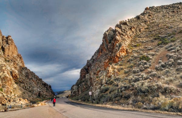
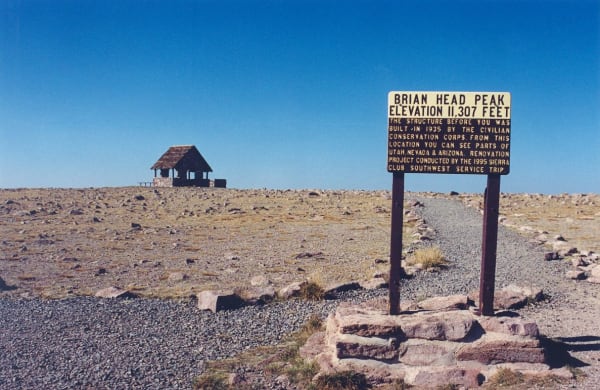
Just up the road, Brian Head is the highest town in Utah — a ski-and-mountain-bike village near 10,000 feet, beneath an 11,000-foot peak, reached by the Scenic Byway 143, the "Patchwork Parkway." And down on the valley floor near Parowan, the wind-carved notch of Parowan Gap holds hundreds of petroglyphs left by the Fremont and earlier peoples, including markings that appear to track the sun through the turning year.
Come in summer for the wildflowers and the cool, and in winter for the deep, quiet snow.
What to See in Cedar Breaks & Brian Head
3 places across the region, grouped by what they are.
Geology & Rock Formations
Historic Sites
Towns & Gateways
Scenic Drives through Cedar Breaks & Brian Head
Highway 20
Twenty unsigned miles between I-15 and US-89 over Bear Valley — the Old Spanish Trail crossing that carried Panguitch's founders and the Quilt Walk of 1864.
Scenic Byway 143
Utah's Patchwork Parkway — 51 miles from Parowan to Panguitch, climbing 4,400 feet out of the desert to a 10,000-foot rim past Brian Head, Cedar Breaks, and Panguitch Lake.
Stories from Cedar Breaks & Brian Head
The Last of the Dark
Across the modern world the night sky has been all but erased by artificial light — most people will never see the Milky Way from home. The high, empty Colorado Plateau is the largest reservoir of real darkness left in the country, and Utah protects more of it than anywhere on Earth.
The Small Print at the Side of the Road
Utah's historical markers carry two stories: the one on the front, and the one at the bottom — a hundred and twenty-five years of daughters, sons, counties, towns, and one museum deciding what deserved bronze.
The Roads the Depression Built
How three million out-of-work young men built the mountain roads Utah still drives on.
The Quilt That Named a Highway
How a desperate winter crossing in 1864 gave Utah's strangest-named scenic byway its name.
The Staircase You Can Drive
Most geology happens vertically and out of reach. Along Utah Highway 12, the entire 270-million-year stack tilts sideways into the windshield.
Cedar Breaks & Brian Head rewards the unhurried. Pick a base, fan out, and let the country between the headline stops surprise you.
← Explore more of Open Road Guide