The Story
The Henry Mountains are the emptiest famous mountains in Utah — a compact range that rises in near-total isolation from the canyon country of the southern desert, running about 30 miles north to south. Five dark peaks climb from sagebrush flats near 4,000 feet to alpine tundra above 11,000, and the high point, Mount Ellen, tops out around 11,522 feet. From its summit ridge the view takes in nearly every landmark of the Colorado Plateau: Capitol Reef National Park and the Waterpocket Fold to the west, the slickrock falling away toward the Dirty Devil River and Lake Powell to the south, and the distant rims of Canyonlands to the northeast.
They were, famously, the last mountain range in the contiguous United States to be placed on a map. As late as 1872, while surveyors were still filling in the blank spaces of the West, these peaks were known simply as the "Unknown Mountains." The Powell Survey's Almon Harris Thompson was the first to explore and name them, climbing the highest summit and calling it Mount Ellen for his wife, and naming the range for Joseph Henry, the first secretary of the Smithsonian Institution.
What earned the Henrys a permanent place in geology textbooks came a few years later. In 1877, Grove Karl Gilbert published his "Report on the Geology of the Henry Mountains," and to describe what he saw he coined a new word — laccolith. Instead of erupting at the surface, molten rock here had forced its way between layers of sedimentary stone and lifted them into broad domes. Erosion has since peeled back much of that softer cover, exposing the hard igneous cores that form the five summits: Ellen, Pennell, and Hillers to the north, with Holmes and Ellsworth set apart to the south as the "Little Rockies."
The range's most famous residents are its bison. In 1941, eighteen animals were brought in from Yellowstone and released near the Dirty Devil River; the herd gradually worked its way up into the high country and has flourished there ever since. Today 300 to 400 free-roaming bison range the Henrys from desert bench to timberline — one of only a few genetically pure, brucellosis-free, huntable wild herds left in the country. In summer they are often seen along the South Summit Ridge of Mount Ellen, improbable dark shapes grazing alpine grass above 11,000 feet.
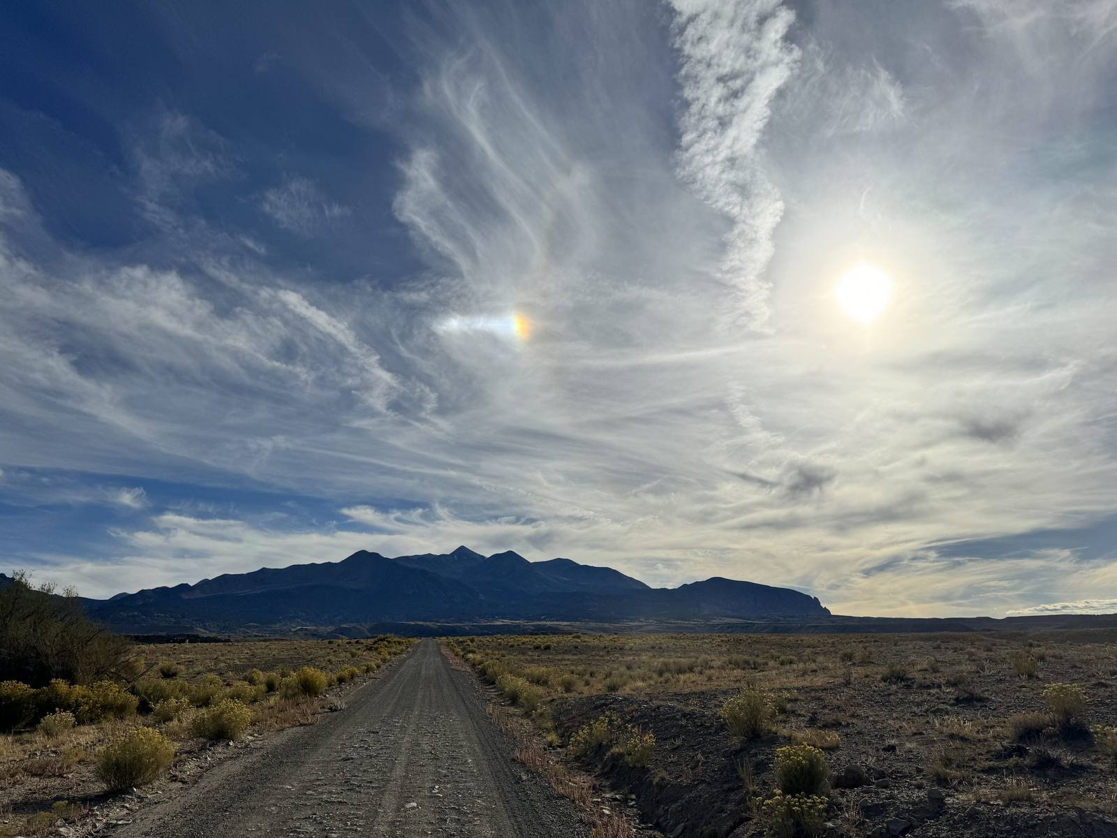
This is difficult country to reach, which is precisely its appeal. Apart from the paved highways that skirt its edges, nearly every road into the range is dirt or gravel — washboarded, occasionally washed out, and best attempted with high clearance and, on the high passes, four-wheel drive. The Bull Creek Pass Backcountry Byway climbs over the spine of the range between the peaks, and a few small BLM campgrounds are scattered about, but there are no services of any kind. The gateway is Hanksville, the small crossroads town to the northeast where the BLM keeps its Henry Mountains field station; fuel up and ask about current road conditions before you commit.
For most travelers the Henrys are best understood as the wild heart of a much larger loop. They pair naturally with Capitol Reef and its gateway town of Torrey to the west, the hoodoo badlands of Goblin Valley State Park to the north, and the slow backcountry drama of Burr Trail Road and the forested heights of Boulder Mountain beyond. On a clear day you can even pick the range out on the far horizon from overlooks as distant as Canyonlands' Island in the Sky. Come in summer or early fall, when the high country is finally clear of snow; carry far more water than you think you'll need; and tell someone where you're going. Chances are you'll have the mountains entirely to yourself.
Visitor Info
On the Map
Nearby
The closest stops worth working into your route
Historical markers nearby
Roadside plaques and monuments within a short detour