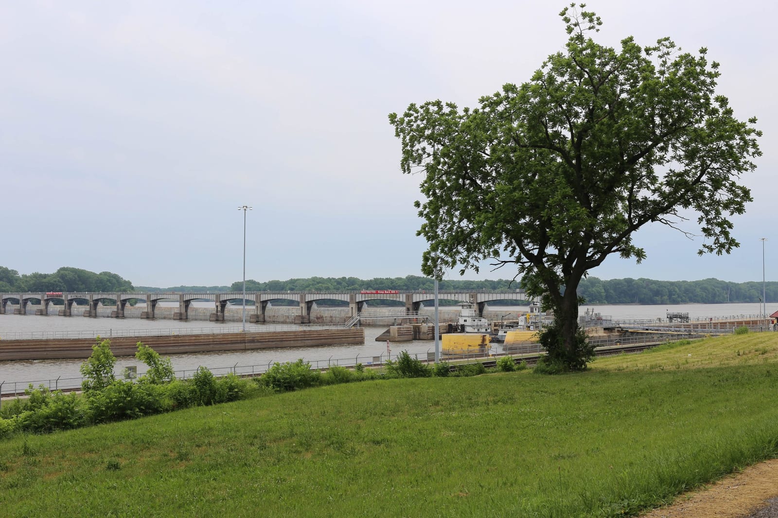
The Great River Road: Hannibal to Ste. Genevieve
About 190 miles down the Mississippi on Route 79 from Hannibal through Louisiana and Clarksville, along the St. Louis riverfront, and south to Ste. Genevieve.
The Route at a Glance
In 1936 the Missouri Planning Board proposed a recreational road along the Mississippi, and in 1938 the ten river states formed a commission to plan what became the Great River Road, marked by a green sign with a steamboat inside a pilot's wheel. In Missouri it follows Route 79 from Hannibal to O'Fallon, interstates through St. Louis, and US 61 to the south. This drive takes it about 190 miles from Hannibal to Ste. Genevieve, a little over four hours without stops.
It starts on Hill Street at the Mark Twain Boyhood Home, a few blocks from Jim's Journey. Route 79, made in about 1930 and known as the Little Dixie Highway of the Great River Road, runs south near the river through Louisiana, Clarksville and Elsberry to I-70 at O'Fallon. The drive crosses the Missouri on I-70 by St. Charles and swings east on I-270 to the Mississippi at the Old Chain of Rocks Bridge.
Riverview Drive and Hall Street follow the river south toward downtown, past the Mary Meachum Freedom Crossing on the Riverfront Trail, to the Old Courthouse and the Gateway Arch. South of the city I-55 passes within a short drive of White Haven and right by the Mastodon site at Imperial. The Great River Road leaves I-55 for US 61 south of Festus; the drive stays on the interstate to Bloomsdale and takes US 61 the last ten miles into Ste. Genevieve, a French town since about 1750.
The Drive, Stop by Stop
10 stops along the route, in driving order from Hannibal, Missouri to Ste. Genevieve, Missouri. One of them sits off the road itself — the distance is noted on each.
- 1
- 2
- 3
- 4
- 5
- 6
- 7
- 8
- 9
- 10
That's the drive. Take your time, pull over often, and let The Great River Road: Hannibal to Ste. Genevieve do what it does best.
← Explore more of Open Road Guide