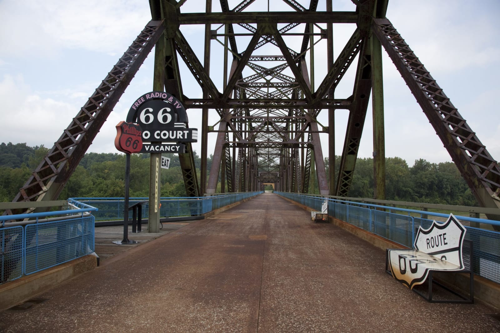
Route 66 Across Missouri: St. Louis to Joplin
About 316 miles of Route 66 from the Chain of Rocks Bridge around St. Louis, through Pacific, Devils Elbow, Springfield and Carthage to the Kansas line.
The Route at a Glance
The road from St. Louis to Springfield had been a Native trail, the Osage Indian Trail, and then the Wire Road, for its telegraph line. Missouri numbered it Route 14 in 1922, and in 1926 it became part of US 66. This drive follows it about 316 miles, a little over seven hours, from the Old Chain of Rocks Bridge to the Kansas line.
Bypass 66 skirts the city on I-270 and Lindbergh Boulevard to Watson Road, near White Haven. West of town I-44 has taken most of the old road, and the drive leaves it where old pavement survives: Osage Street under the bluffs in Pacific, Commercial Avenue in St. Clair, and Teardrop Road over the Devils Elbow Bridge on the Big Piney. Side roads lead to Onondaga Cave and Maramec Spring.
Past Marshfield the old road returns as Route OO through Strafford and Kearney Street into Springfield, where Missouri put up the highway's first historic marker, at Kearney and Glenstone. St. Louis Street leads to the History Museum on the Square, which tells how the number was chosen, and College Street and Chestnut Expressway lead out, with Wilson's Creek to the southwest.
From Halltown, Routes 266 and 96 carry the old road through Paris Springs and Avilla to Carthage and the Boots Court. In Joplin, where mine cave-ins helped push the highway into a zigzag, the drive takes Madison and 7th streets to the state line. The Brush Creek Bridge stands on the Kansas stretch beyond Galena, and the Oklahoma drive picks up at Quapaw.
The Drive, Stop by Stop
8 stops along the route, in driving order from Old Chain of Rocks Bridge, St. Louis (Missouri end) to Kansas line west of Joplin, Missouri. 4 of them sit off the road itself — the distance is noted on each.
- 1
- 2
- 3
- 4
- 5
- 6
- 7
- 8
That's the drive. Take your time, pull over often, and let Route 66 Across Missouri: St. Louis to Joplin do what it does best.
← Explore more of Open Road Guide