The Ozark Riverways & the St. Francois Mountains
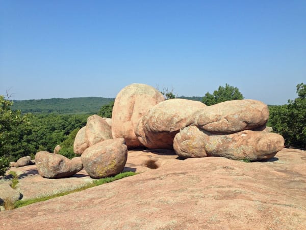
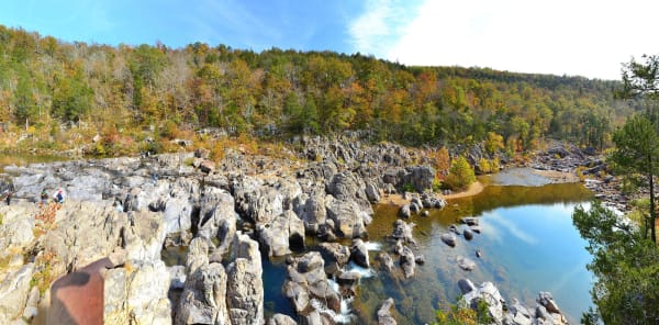
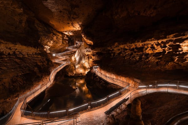
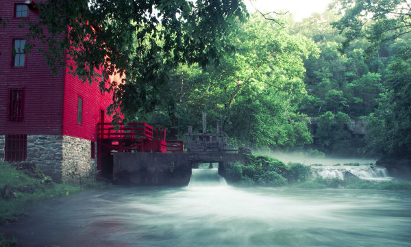
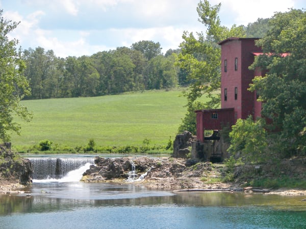
Big Spring and Alley Mill on the Ozark Riverways, Johnson's Shut-Ins, Elephant Rocks, Fort Davidson at Pilot Knob and Onondaga Cave on the Meramec.
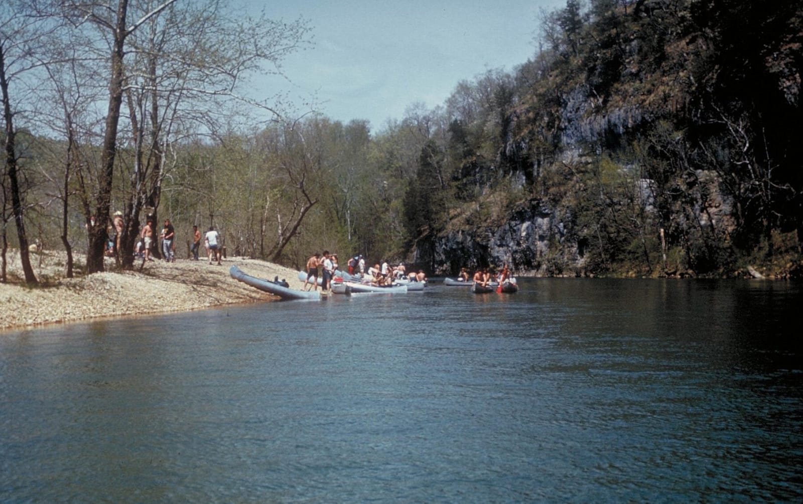
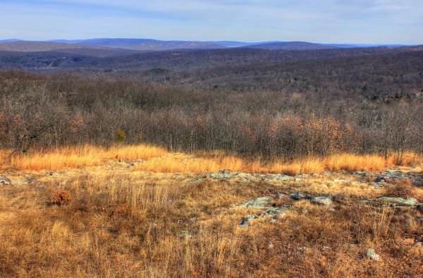
The region splits in two for anyone driving it. The western half is float country. The Current and Jacks Fork run clear and cold out of giant springs through Shannon and Carter counties, protected since the 1960s as the Ozark National Scenic Riverways, with Eminence and Van Buren as river towns. The eastern half rises into the St. Francois Mountains, knobs of ancient granite and rhyolite, where MO-21 runs through the Arcadia Valley past Elephant Rocks, Pilot Knob and Taum Sauk Mountain, the highest point in Missouri, and the Black River pours through the shut-ins.
These hills were Osage (Wazhazhe) hunting ground, and the Osage Nation counts Onondaga Cave among its sacred sites in Missouri. Scots-Irish families from Appalachia followed in the early 1800s, then, in the 1880s, the railroads and lumber companies that stripped the pine and left the hills poor. Conservationists pushed back: Missouri made state parks at Big, Alley and Round springs in 1924, the CCC built at all three, and a fight in the 1950s kept dams off the Current.
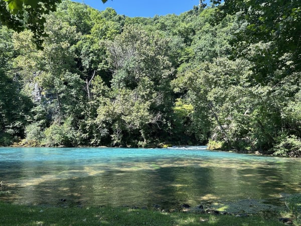
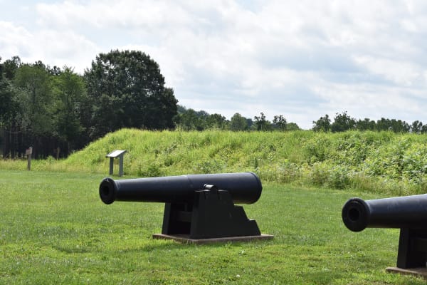
Two things belong to this region alone. One is springs on a scale few places match, with Big Spring averaging close to 290 million gallons a day. The other is Pilot Knob, where Sterling Price's 1864 raid stalled against an earthwork that Black freemen had helped build.
What to See in The Ozark Riverways & the St. Francois Mountains
8 places across the region, grouped by what they are.
Geology & Rock Formations
Natural Areas
Historic Sites
Industry & Mining
Scenic Drives through The Ozark Riverways & the St. Francois Mountains
Stories from The Ozark Riverways & the St. Francois Mountains
The Galena Float
For half a century sportsmen floated the James and White rivers from Galena to Branson in flat-bottomed boats run by hill guides, until Table Rock Dam drowned the trip in 1958.
The Gulf and the Spring
Near Thayer a cave roof fell in and left a canyon, and the creek that drains into it comes up nine miles away as one of the great springs of the Ozarks, in Arkansas.
The Ozark Riverways & the St. Francois Mountains rewards the unhurried. Pick a base, fan out, and let the country between the headline stops surprise you.
← Explore more of Open Road Guide