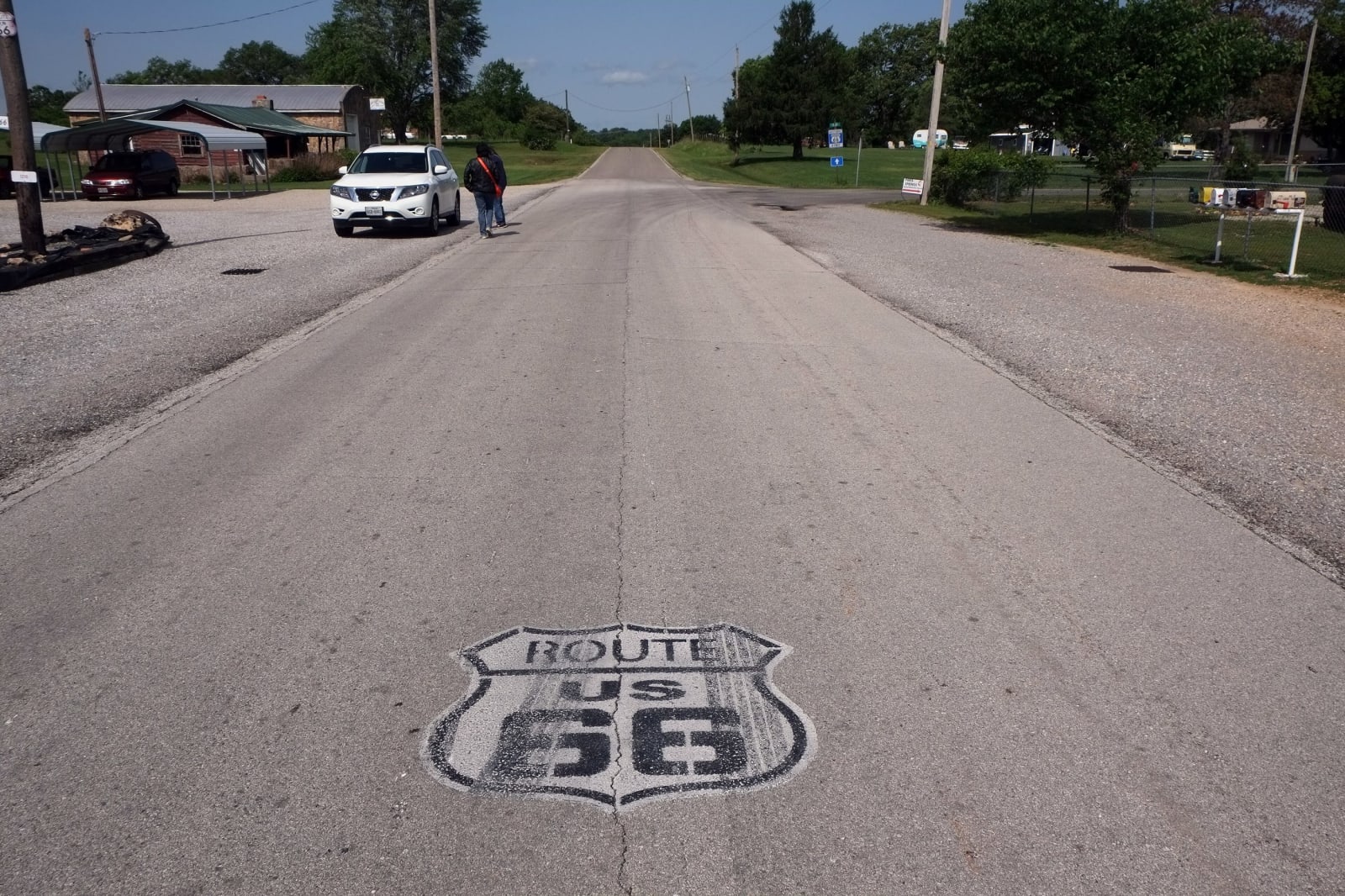
A Route 66 shield painted on the old two-lane highway through Paris Springs.
Gorup de Besanez / CC BY-SA 4.0 via Wikimedia Commons
Missouri · Region

Springfield & the Route 66 Southwest

Wilson's Creek battlefield, Carver's birthplace farm, the city where Route 66 got its number, a 1939 motor court, and bison on Osage plains prairie.

8 places to explore

This corner of Missouri was Osage country, home and hunting ground of the Wazhazhe until the cessions of 1808 and 1825, and Springfield's history museum also tells of the Kickapoo and Delaware people who lived here before removal. The Northern Route of the Cherokee Trail of Tears came through Springfield, its first party in December 1837.

Springfield sits on the Ozark Plateau at the east end. From there I-44 runs southwest toward Joplin, over the general line of Route 66, and the old road swings through Carthage, where it met the Jefferson Highway. North on I-49 and US-71 the hills open into the Osage plains of Barton and Vernon counties, where Prairie State Park keeps much of the little tallgrass prairie Missouri has left. South, Newton and McDonald counties fold back into Ozark hills toward Arkansas.

Southwest of Springfield, Wilson's Creek holds the ground of the first major Civil War battle west of the Mississippi. Near Diamond is the farm where George Washington Carver was born enslaved; in 1943 it became the first national monument to an African American. The number 66 was proposed in a telegram from Springfield on April 30, 1926, and the History Museum on the Square tells that story on the old road. In Vernon County a trail circles the hilltop where an Osage town of about 200 lodges stood in the 1700s.

What to See in Springfield & the Route 66 Southwest

8 places across the region, grouped by what they are.

Natural Areas
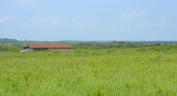
Green tallgrass prairie rolling toward the low visitor center at Prairie State Park in summer.

Prairie State Park

Mindenmines

Nearly 4,000 acres of tallgrass and woods on the Osage plains near the Kansas line, where bison and elk graze free and two trails carry Osage names for the Earth People and the Sky People.

View details →

Historic Sites

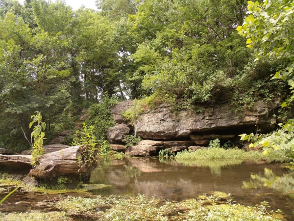
Carter Spring at the Battle of Carthage site, a quiet pool below ledges of rock and thick summer trees.

Battle of Carthage State Historic Site

Carthage

Carter Spring, where Franz Sigel's Union troops camped before the Battle of Carthage of July 5, 1861 and the State Guard camped after it, eleven days before Bull Run.

View details →
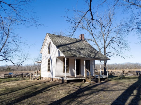
The white Moses Carver house under bare trees at George Washington Carver National Monument.

George Washington Carver National Monument

Diamond

The Moses Carver farm west of Diamond where George Washington Carver was born enslaved, the first national monument to an African American, told largely through Carver's own memory of the place.

View details →
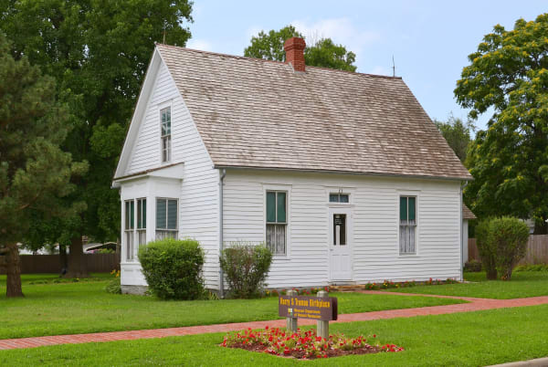
The small white frame house in Lamar where Harry S Truman was born, with a site sign and flower bed on the lawn.

Harry S Truman Birthplace State Historic Site

Lamar

The small Lamar house where Harry S Truman was born on May 8, 1884, bought by his parents for $685 and dedicated as a state site in 1959 with Truman on hand.

View details →
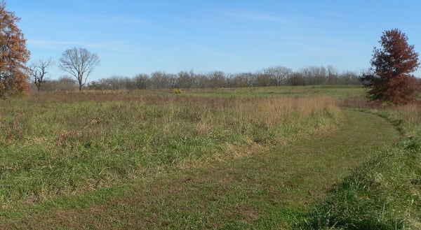
A mown path crossing the grassy hilltop of the Osage Village State Historic Site in autumn.

Osage Village State Historic Site

Walker

An open hilltop in Vernon County where 2,000 to 3,000 Osage people lived in about 200 lodges between 1700 and 1775, a Wazhazhe town of the Osage River country.

View details →
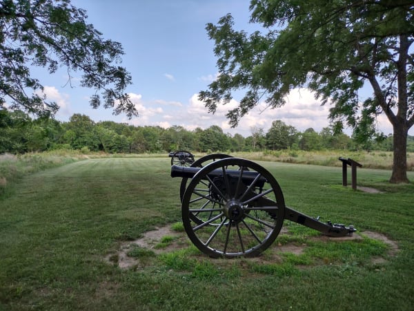
A Civil War cannon on the mown grass under oak trees at Wilsons Creek National Battlefield.

Wilson's Creek National Battlefield

Republic

The farm valley southwest of Springfield where the first major Civil War battle west of the Mississippi was fought on August 10, 1861, and where Nathaniel Lyon became the first Union general killed.

View details →

Towns & Gateways

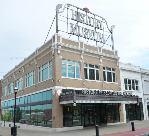
The tan brick History Museum on the Square with its rooftop History Museum sign in Springfield.

History Museum on the Square

Springfield

Springfield's history museum on Park Central Square, on Route 66 itself, with a gallery on how the highway got its number here in 1926 and another on the Osage, Kickapoo and Delaware.

View details →

Roadside Stops

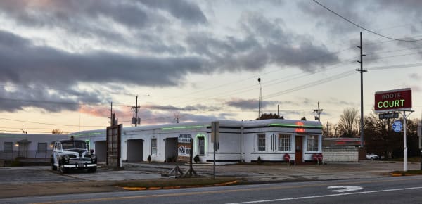
The white Streamline Moderne Boots Court motel and its red neon sign at dusk on Route 66 in Carthage.

Boots Court

Carthage

A 1939 Streamline Moderne motor court at the Carthage corner where Route 66 met the Jefferson Highway, rescued after decades of decline and renting all 13 rooms again, radios and no televisions.

View details →

Scenic Drives through Springfield & the Route 66 Southwest

Scenic Byway

Route 66 Across Missouri: St. Louis to Joplin

About 316 miles of Route 66 from the Chain of Rocks Bridge around St. Louis, through Pacific, Devils Elbow, Springfield and Carthage to the Kansas line.

316 mi · 7.25 hrs

Stories from Springfield & the Route 66 Southwest

History

Red's Window

Springfield gave Route 66 its number, and on West Chestnut a postwar hamburger stand gave the road one of the first drive-up windows in the business.

3 min read
History

The Government Chief

The Osage gave up Missouri in treaties signed by leaders whom traders and governments had raised above a council that never had one head chief.

3 min read

Springfield & the Route 66 Southwest rewards the unhurried. Pick a base, fan out, and let the country between the headline stops surprise you.

← Explore more of Open Road Guide