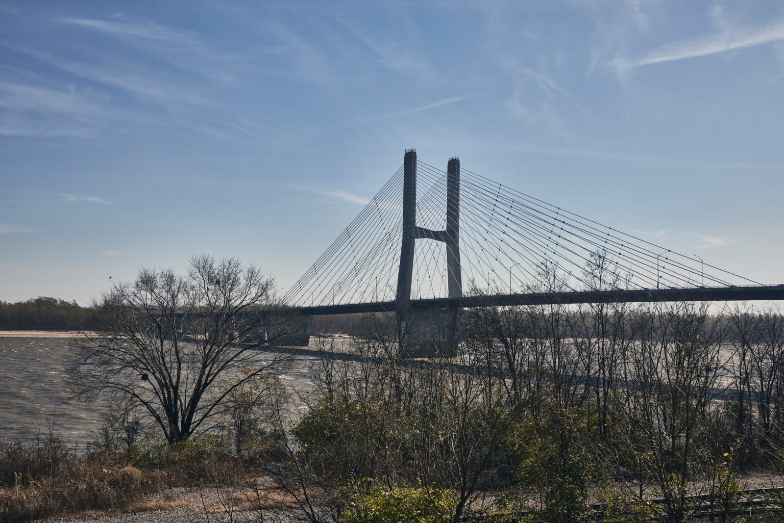
The cable-stayed Bill Emerson Memorial Bridge spanning the Mississippi River at Cape Girardeau.
Carol M. Highsmith / public domain via the Library of Congress
Missouri · Region

Ste. Genevieve, Cape Girardeau & the Bootheel

French colonial Ste. Genevieve, the Cherokee river crossing of 1838-39, a Lead Belt mill, CCC stonework and petroglyphs, New Madrid's quakes and Towosahgy's mounds.

9 places to explore

Missouri's southeast corner follows the Mississippi from the French colonial town of Ste. Genevieve down to the farm country of the Bootheel. Long before either, Mississippian people built fortified mound towns on the bottomland; the Osage and the Quapaw were the last nations known to have lived at one of them, Towosahgy. In 1793 the Spanish governor granted land near Cape Girardeau to a band of Shawnee who had crossed the river.

Driving it, the region falls into three parts. The river road, US-61 and I-55, links Ste. Genevieve, the Saxon Lutheran towns of Perry County and Cape Girardeau, and north of the city the bluffs where nine of the thirteen Cherokee detachments crossed the ice-choked Mississippi in the winter of 1838 and 1839. West on US-67 lies the Old Lead Belt, mined since the early 1700s, and beyond it the Washington County hills, where an African American company of the Civilian Conservation Corps built a state park around the largest group of rock carvings found in Missouri.

South of Cape Girardeau the land drops to the flat, drained bottoms of the Bootheel, ground torn by the New Madrid earthquakes of 1811 and 1812. It is also where, in January 1939, evicted Black and white sharecropping families camped along US-60 and US-61 under the preacher and organizer Owen Whitfield, until the state cleared them from the roadsides.

What to See in Ste. Genevieve, Cape Girardeau & the Bootheel

9 places across the region, grouped by what they are.

Geology & Rock Formations
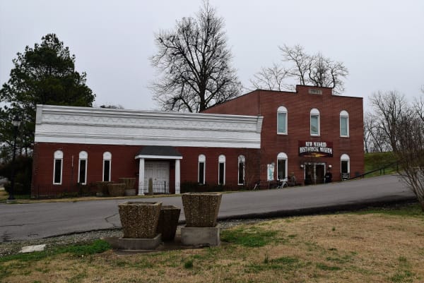
The red brick New Madrid Historical Museum with its arched windows beside a white annex.

New Madrid Historical Museum

New Madrid

A river-town museum in the old Kendall Saloon at the foot of Main Street in New Madrid, centered on the earthquakes of 1811 and 1812 and the seismic risk the town still lives with.

View details →

Natural Areas

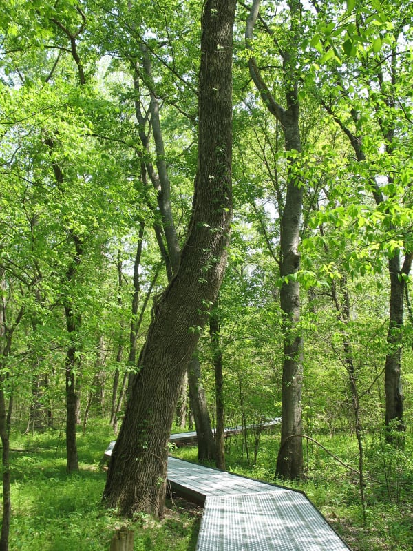
A boardwalk winding among tall bottomland hardwoods in spring green at Big Oak Tree State Park.

Big Oak Tree State Park

East Prairie

The last piece of the Bootheel's old bottomland forest, saved in 1938 with schoolchildren's dimes, with a cypress swamp and trees that top 130 feet.

View details →
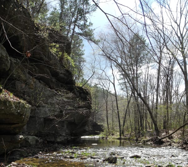
A sandstone bluff above a clear, shallow creek in early spring woods at Hawn State Park.

Hawn State Park

Ste. Genevieve

A schoolteacher's bequest of sandstone canyons, shortleaf pine and clear sandy creeks west of Ste. Genevieve, with one of the state's best backpacking trails.

View details →

Historic Sites

The Bolduc House and its detached kitchen with steep hipped roofs and a wide gallery behind a garden in Ste. Genevieve.

Ste. Genevieve National Historical Park

Ste. Genevieve

Three National Park Service houses in Missouri's first permanent European town, built of upright logs in the 1790s and told through the French families who owned them and the people they enslaved.

View details →
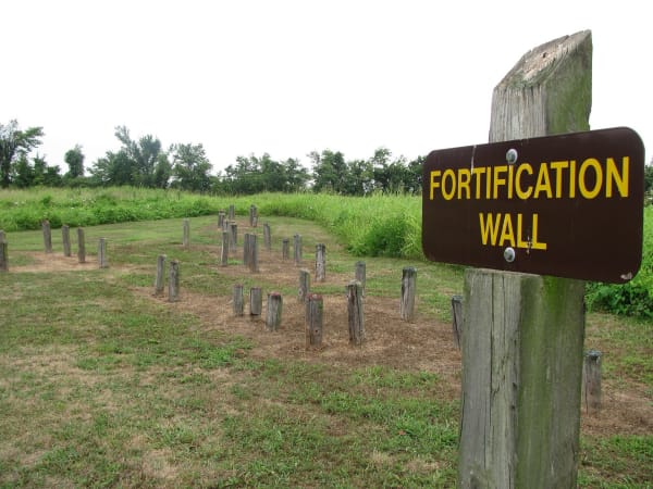
A wooden sign reading Fortification Wall beside rows of short posts that mark the line of the old palisade at Towosahgy State Historic Site.

Towosahgy State Historic Site

East Prairie

A fortified Mississippian town in the Bootheel fields of Mississippi County, with seven earthen mounds around a plaza and a modern name meant to approximate the Osage and Quapaw words for old town.

View details →
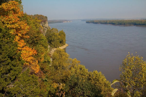
The broad Mississippi River below autumn-colored bluffs at Trail of Tears State Park.

Trail of Tears State Park

Jackson

Rugged river hills north of Cape Girardeau where nine of the thirteen Cherokee detachments crossed the Mississippi in the winter of 1838 and 1839, and where floating ice left them camped on both banks.

View details →
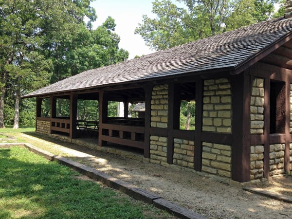
The long stone and timber CCC picnic pavilion under oak trees at Washington State Park.

Washington State Park

De Soto

Big River hills with the largest group of petroglyphs found in Missouri and the stonework of Company 1743, an African American Civilian Conservation Corps company that named its camp for a carved thunderbird.

View details →

Industry & Mining

The weathered wooden Burfordville Covered Bridge over the Whitewater River beside Bollinger Mill under a partly cloudy sky.

Bollinger Mill State Historic Site

Burfordville

A four-story mill of 1867 on an 1825 stone foundation on the Whitewater River, beside Missouri's oldest covered bridge, where farmers broke down the toll gates in 1906.

View details →
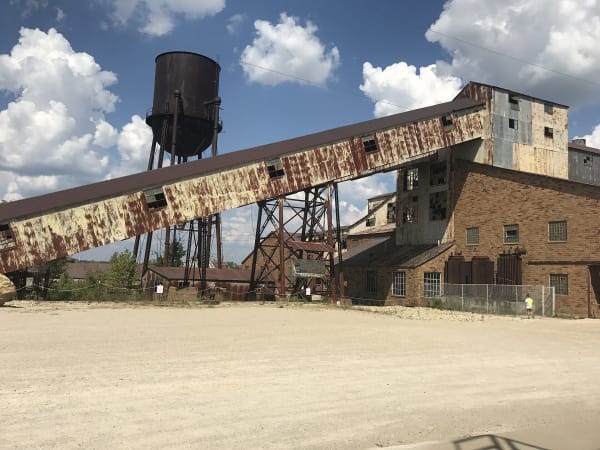
The rusted conveyor, water tower and brick mill buildings of the old Federal Mill at Missouri Mines State Historic Site.

Missouri Mines State Historic Site

Park Hills

Federal Mill No. 3 at Park Hills, the biggest lead mine and mill complex of the Old Lead Belt under St. Joseph Lead, with its 1906 powerhouse now a museum of mining machines and minerals.

View details →

Scenic Drives through Ste. Genevieve, Cape Girardeau & the Bootheel

Scenic Byway

The Great River Road: Hannibal to Ste. Genevieve

About 190 miles down the Mississippi on Route 79 from Hannibal through Louisiana and Clarksville, along the St. Louis riverfront, and south to Ste. Genevieve.

190 mi · 4.25 hrs

Stories from Ste. Genevieve, Cape Girardeau & the Bootheel

History

Who Lived on the Shaking Ground

The New Madrid earthquakes of 1811 and 1812 struck country that Spain had settled with Shawnee, Lenape and Cherokee refugees, and Native nations far beyond it read the shaking as a sign.

3 min read

Ste. Genevieve, Cape Girardeau & the Bootheel rewards the unhurried. Pick a base, fan out, and let the country between the headline stops surprise you.

← Explore more of Open Road Guide