MO-94 and the Katy Trail: St. Charles to Arrow Rock
About 190 miles up the Missouri from St. Charles on Route 94 past Defiance, Augusta and Marthasville, by Jefferson City to Rocheport and Boonville, and on to Arrow Rock.
The Route at a Glance
The Missouri-Kansas-Texas Railroad ran up the Missouri valley until 1986, and since 1990 its bed has been Katy Trail State Park, 240 miles from Machens to Clinton. Route 94 follows the north bank through much of the same country. This drive goes about 190 miles upriver from St. Charles to Arrow Rock, five hours without stops.
It starts at St. Charles, where the Corps of Discovery waited for Lewis in May 1804 and where the Boone's Lick Road set out west. Route 94 runs west through Defiance, Augusta and Marthasville. Across the river by the Route 19 bridge is Hermann, the town of Deutschheim. Route 94 goes on to the US 54 and US 63 junction across from Jefferson City, where the Capitol and Lincoln University stand on the south bank, a short drive over the bridge.
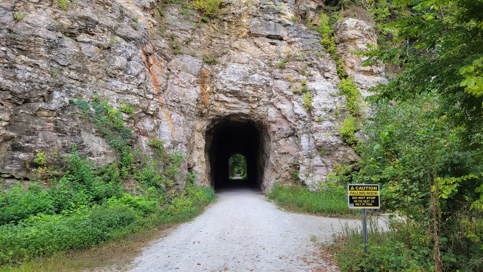
The drive turns north on US 63 and west on I-70 to Rocheport, where the trail's first section opened in 1990 and passes through the railroad's stone tunnel. Route 240 leads on to New Franklin. From there Routes 87 and 187 run about twelve miles to Boone's Lick, the salt spring that gave the whole country its name. The drive crosses to Boonville on Route 5 and takes I-70 and Route 41 to Arrow Rock. Across the river from Arrow Rock, chutes on the Big Muddy refuge are letting the Missouri back into its bottoms.
The Drive, Stop by Stop
7 stops along the route, in driving order from St. Charles, Missouri to Arrow Rock, Missouri. 2 of them sit off the road itself — the distance is noted on each.
- 1
- 2
- 3
- 4
- 5
- 6
- 7
That's the drive. Take your time, pull over often, and let MO-94 and the Katy Trail: St. Charles to Arrow Rock do what it does best.
← Explore more of Open Road Guide