
St. Louis & the Confluence
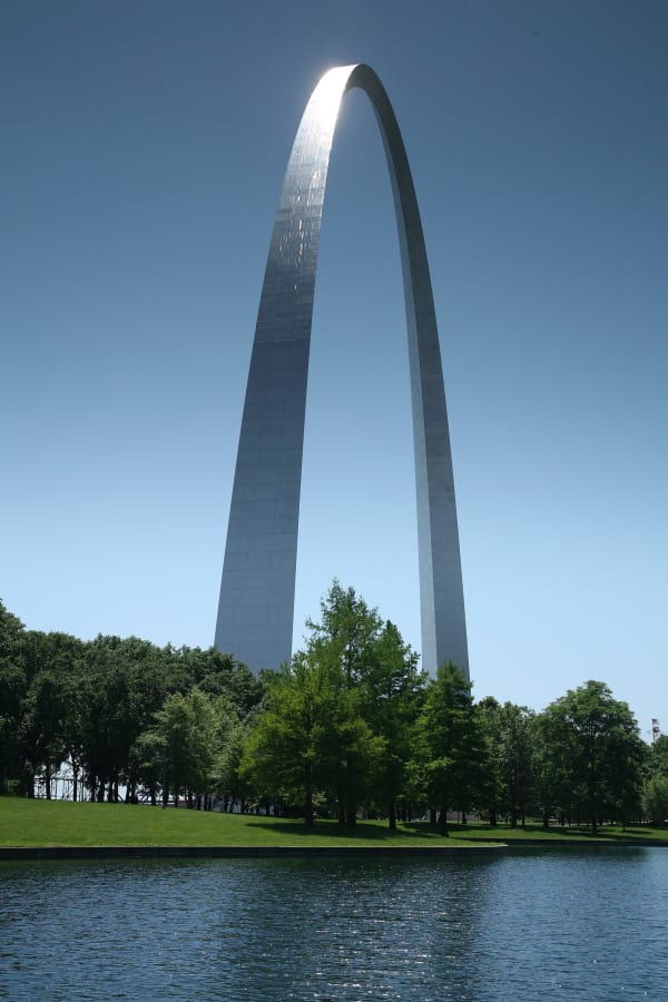
The Arch and the Old Courthouse of the freedom suits, Joplin's Delmar flat, Grant's White Haven, the 1804 St. Charles landing and the Kimmswick bone bed.
The Missouri runs into the Mississippi just north of St. Louis, at the point now kept as Edward "Ted" and Pat Jones-Confluence Point State Park, and nearly everything in this region grew from that meeting. Before the French town, the bluffs held about forty earthen mounds, enough that St. Louis was long called the Mound City. The railroads and the 1904 World's Fair leveled nearly all of them. The Osage Nation, whose homeland this was, bought the last one, Sugarloaf Mound, in 2009; it is not open to visitors.
The city divides into the riverfront and the neighbourhoods west of it. On the riverfront stand the Gateway Arch, on forty blocks razed for it, and the Old Courthouse, where Dred and Harriet Scott and some three hundred other enslaved people sued for their freedom. West of downtown is the Delmar Boulevard flat where Scott Joplin wrote The Entertainer, and out in the county is White Haven, the farm where Ulysses S. Grant lived beside the people his father-in-law held in slavery.
Across the Missouri, St. Charles keeps the riverbank where the Corps of Discovery pushed off in May 1804 and the rooms where Missouri's first legislature met. South of the city, the Kimmswick Bone Bed at Mastodon State Historic Site holds the first solid evidence that people and mastodons lived here together more than 10,000 years ago.
What to See in St. Louis & the Confluence
10 places across the region, grouped by what they are.
Geology & Rock Formations

Natural Areas

Historic Sites
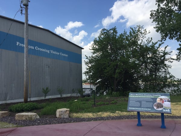


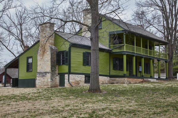
Towns & Gateways
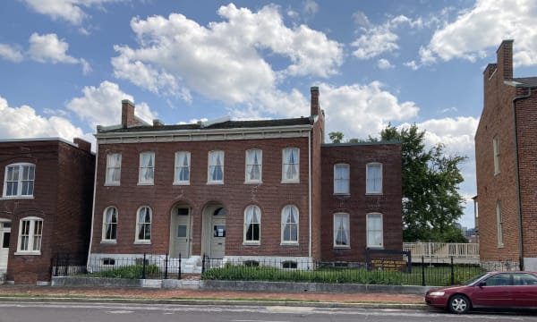
Architecture
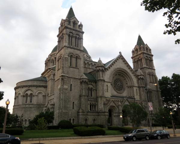
Scenic Drives through St. Louis & the Confluence
MO-94 and the Katy Trail: St. Charles to Arrow Rock
About 190 miles up the Missouri from St. Charles on Route 94 past Defiance, Augusta and Marthasville, by Jefferson City to Rocheport and Boonville, and on to Arrow Rock.
Route 66 Across Missouri: St. Louis to Joplin
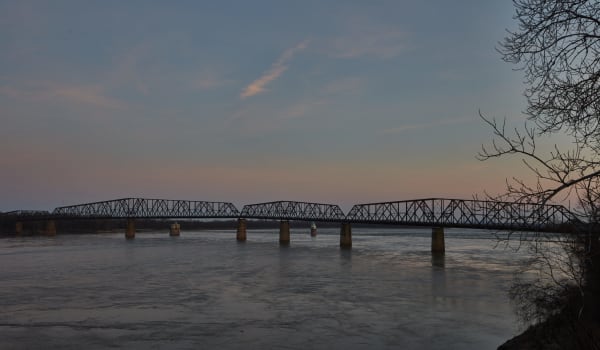
About 316 miles of Route 66 from the Chain of Rocks Bridge around St. Louis, through Pacific, Devils Elbow, Springfield and Carthage to the Kansas line.
The Great River Road: Hannibal to Ste. Genevieve
About 190 miles down the Mississippi on Route 79 from Hannibal through Louisiana and Clarksville, along the St. Louis riverfront, and south to Ste. Genevieve.
Stories from St. Louis & the Confluence
St. Louis & the Confluence rewards the unhurried. Pick a base, fan out, and let the country between the headline stops surprise you.
← Explore more of Open Road Guide