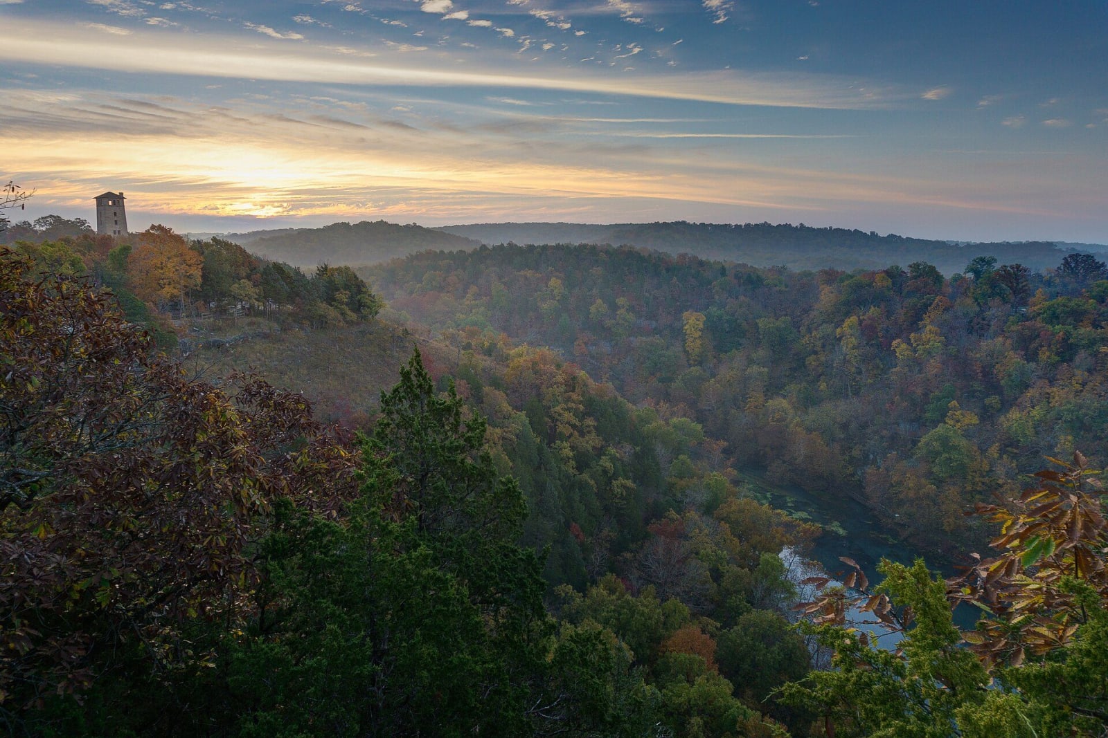
The Lake of the Ozarks & the Osage River
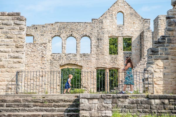
Ha Ha Tonka's natural bridge and castle ruins, Ozark Caverns, the Bennett and Maramec trout springs, an 1826 ironworks and Route 66 at Devils Elbow.
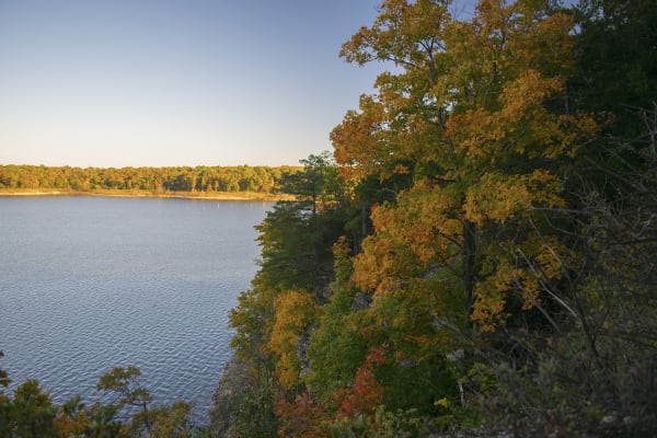
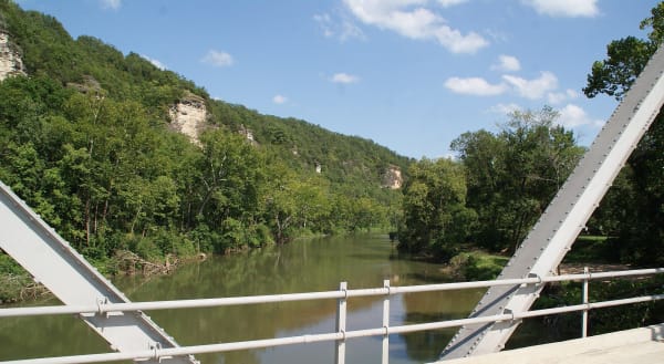
This is Osage River country, and most of the river is lake now. Bagnell Dam, built at the end of the 1920s, backed the Osage and its Niangua arm into the Lake of the Ozarks, and upstream Truman Lake fills the valley above Warsaw. South and east the land breaks into spring country, the Niangua below Bennett Spring, the Big Piney at Devils Elbow, the Meramec at Maramec Spring, with I-44 and old Route 66 crossing it through Lebanon, Waynesville and Rolla.
All of it was the homeland of the Osage (Wazhazhe), who hunted and lived in these hills until the Great and Little Osage ceded the land east of a line run south from Fort Osage in the treaty of 1808. Thirty years later Cherokee detachments forced west on the Trail of Tears came through on the road past Waynesville, where Roubidoux Spring was one of their stops.
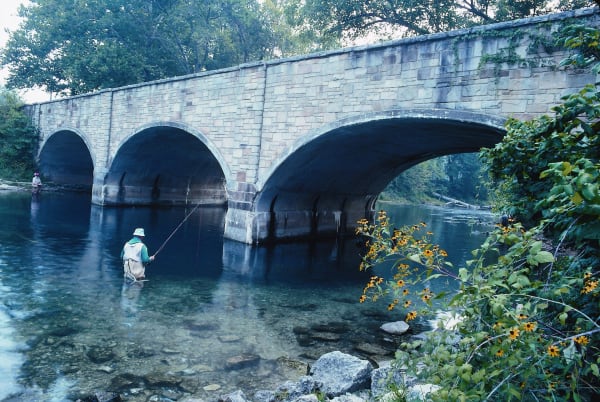
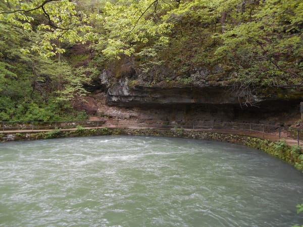
The region's own subject is karst. Ha Ha Tonka shows what is left when caverns fall in: a natural bridge, a sinkhole called the Colosseum and a spring in a gorge below a burned castle. Ozark Caverns keeps water falling from a solid ceiling. Bennett and Maramec springs each pour out about 100 million gallons a day, enough for trout parks, and at Maramec the water once drove an ironworks.
What to See in The Lake of the Ozarks & the Osage River
6 places across the region, grouped by what they are.
Geology & Rock Formations
Natural Areas
Hikes & Trails
Historic Sites
Roadside Stops
Scenic Drives through The Lake of the Ozarks & the Osage River
Stories from The Lake of the Ozarks & the Osage River
The Lake of the Ozarks & the Osage River rewards the unhurried. Pick a base, fan out, and let the country between the headline stops surprise you.
← Explore more of Open Road Guide