 U.S. Department of the Interior / CC BY-SA 2.0 via Wikimedia Commons
The Story
The California Coastal National Monument, proclaimed in January 2000, is an odd sort of monument: more than twenty thousand rocks, reefs and small islands strung along the whole coast within twelve miles of shore, about a thousand acres in all, and almost none of it reachable. It is seen by more people than any other national monument in the state, and most of them have no idea they are looking at one.
North of Point Arena, the monument came ashore. The Stornetta family ran a dairy on these bluffs, and in 2004 more than eleven hundred acres of the ranch passed to the Bureau of Land Management, a purchase made with The Nature Conservancy. In March 2014 President Obama added the land, about 1,665 acres with later acquisitions, to the monument as its Point Arena-Stornetta unit. It was the first onshore piece of the monument, and the first part of it visitors were allowed onto.
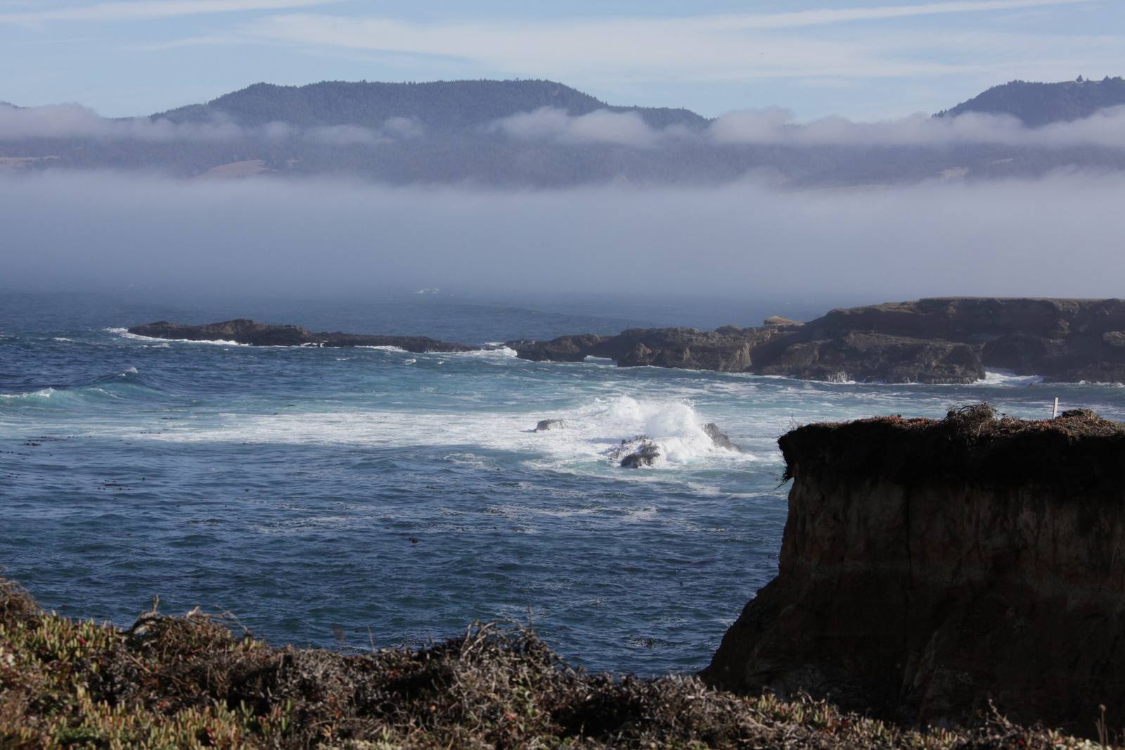
What they walk is open marine terrace: grassland running out to cliffs, rock shelves and tide pools below, dunes and wetlands where the ground drops toward the water. Remnants from the early twentieth century are what is left of the dairy. Harbor seals haul out on the rocks offshore, and gray whales pass in winter and spring.
Trails are informal and the cliff edges are undercut; stay well back. Parts of the unit are closed to protect wildlife.
Visitor Info
On the Map
Nearby
The closest stops worth working into your route
Historical markers nearby
Roadside plaques and monuments within a short detour