 National Marine Sanctuaries, NOAA / public domain via Wikimedia Commons
The Story
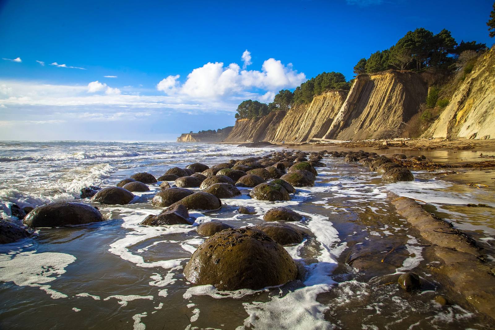
At low tide the beach north of Schooner Gulch shows what it is named for: rows of round boulders, two to five feet across, resting in the grooves of the rock shelf like balls lined up in an alley.
They are concretions. Long before they were stone, the layers here were sand and mud on the deep sea floor, laid down by dense underwater slurries that poured off the continent. Around a scrap of shell or other organic matter, mineral cement crystallized into a ball harder than the sand around it. When the sandstone weathers away, the balls are left. Some are still in the cliff, half out of the bluff face; the ones on the beach have rolled down, and the surf has worked them into the troughs between steeply tilted beds.
The stranger part is underneath them. These rocks lie west of the San Andreas Fault, in what geologists call the Gualala block, and the California Geological Survey describes them as thought to have moved several hundred miles northwest along the fault. Nobody has yet found the rocks on the other side that would show where they started.
Come on a low tide. At high water the balls are under the surf and the walk along the beach can be cut off. The trail crosses a meadow from the Highway 1 pullout and drops down an eroding bluff.
Visitor Info
On the Map
Nearby
The closest stops worth working into your route
Historical markers nearby
Roadside plaques and monuments within a short detour