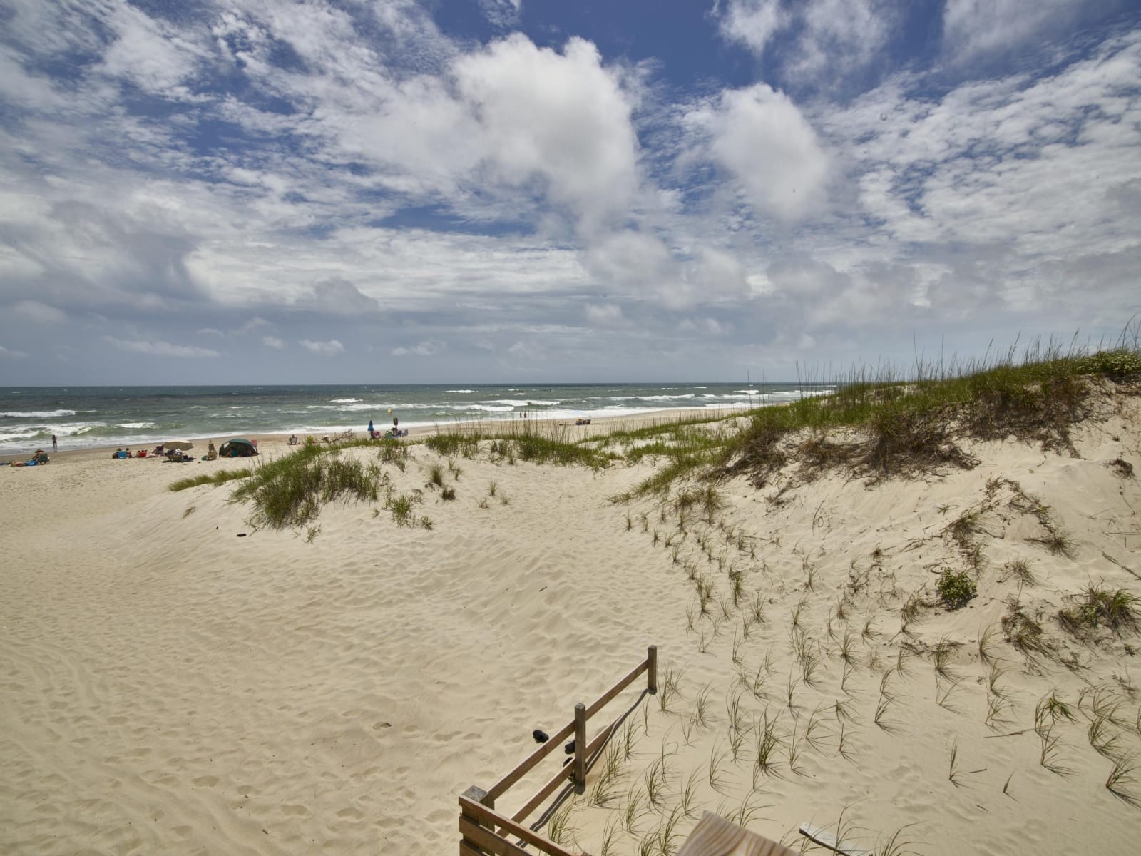
Wind-rippled sand and beach grass on a dune above the Atlantic surf on Ocracoke Island, under a sky of white clouds.
Carol M. Highsmith / public domain via Library of Congress
North Carolina · Region

The Outer Banks & the Albemarle

Fort Raleigh, the Wright brothers' dune, the Hatteras and Ocracoke lights, Pea Island's lifesavers, Somerset Place, Harriet Jacobs's Edenton and the Dismal Swamp.

12 places to explore

Carolina Algonquian people knew these sounds as Ossomocomuck. Their werowance Wingina let English colonists build on Roanoke Island in 1585 and was killed by them the next year, a story Fort Raleigh tells from his people's side. Algonquian canoes thousands of years old have come out of Lake Phelps at Pettigrew State Park, and the name Ocracoke grew from their Wococon.

Slavery shaped the mainland. At Somerset Place, eighty Africans brought across the ocean for the work dug the canals of one of the Upper South's largest plantations. In Edenton, Harriet Jacobs hid seven years under her grandmother's roof before escaping north by water, and the Great Dismal Swamp sheltered thousands of maroons for two centuries. After 1862 a Freedmen's Colony grew on Roanoke Island, and Richard Etheridge, born enslaved there, later led the all-Black lifesaving crew at Pea Island.

The banks themselves keep moving. The Wright brothers flew from the sand below Kill Devil Hill in 1903, Jockey's Ridge still drifts at Nags Head, and the Cape Hatteras lighthouse was rolled inland in 1999. Red wolves were returned to the wild at Alligator River in 1987, and swans winter on Lake Mattamuskeet, drained and farmed in the early 1900s before it was given back to the birds.

What to See in The Outer Banks & the Albemarle

12 places across the region, grouped by what they are.

Natural Areas

Paddlers in yellow and red canoes on a narrow dark creek walled in by dense green swamp forest.

Alligator River National Wildlife Refuge

Manns Harbor

The pocosin wetlands of mainland Dare and Hyde, set aside in 1984, where the world's most endangered wolf was first returned to the wild in 1987.

View details →
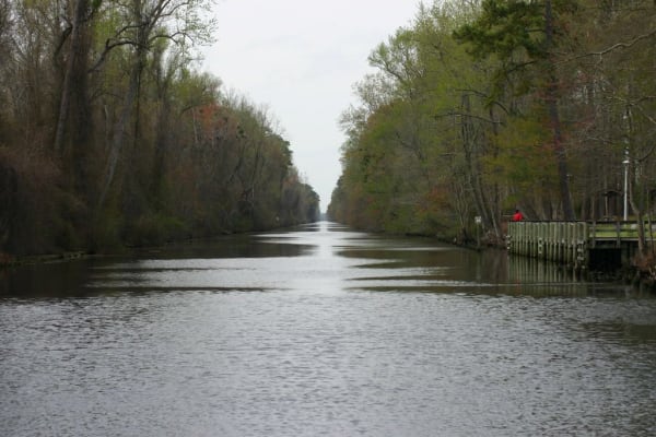
The straight, dark Dismal Swamp Canal running between walls of swamp forest under a gray sky.

Dismal Swamp State Park

South Mills

North Carolina's door into the Great Dismal Swamp, where thousands of people who escaped slavery lived in hiding between the 1600s and the 1860s.

View details →
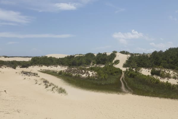
Pale sand dunes rising behind low green shrubs, with a footpath worn up the slope under a blue sky.

Jockey's Ridge State Park

Nags Head

The tallest living sand dune system on the Atlantic coast, saved from bulldozers in 1973, with sunset over Roanoke Sound and hang gliders on the slopes.

View details →
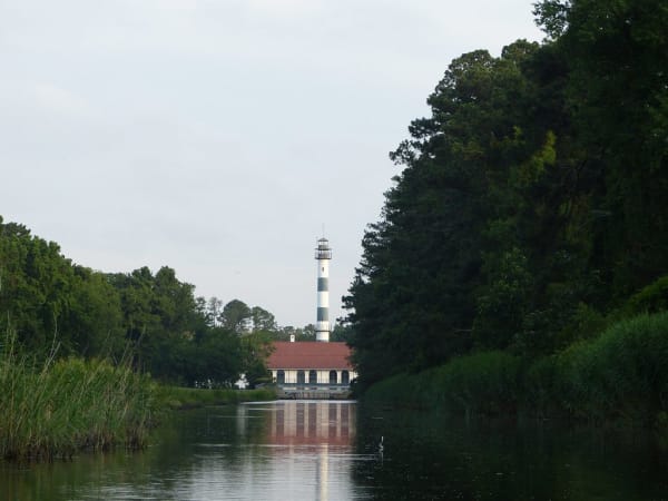
A canal lined with reeds and pines leading to Mattamuskeet Lodge, its tall striped observation tower above a red roof.

Mattamuskeet National Wildlife Refuge

Swan Quarter

North Carolina's largest natural lake, drained and farmed in the 1910s-1930s and given back to the swans, with the old pumping plant turned hunting lodge on its shore.

View details →
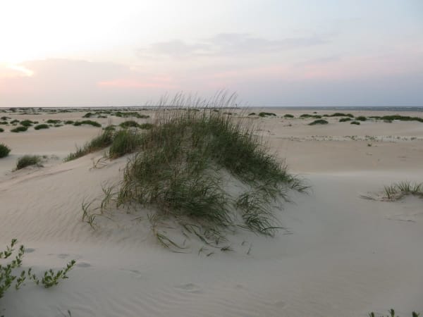
A clump of beach grass on a low dune, with flat wind-rippled sand running to the horizon at dusk.

Pea Island National Wildlife Refuge

Rodanthe

The north end of Hatteras Island, a 1938 bird refuge on the old beat of the Pea Island Life-Saving Station and Richard Etheridge's all-Black crew.

View details →
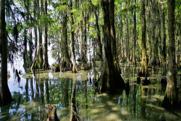
Broad-based cypress trees standing in clear shallow water at the edge of Lake Phelps, hung with moss.

Pettigrew State Park

Creswell

Lake Phelps, a clear rain-fed Carolina bay where some thirty Algonquian dugout canoes have been found, the oldest about 4,400 years old.

View details →

Historic Sites

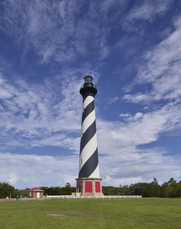
The black-and-white spiral-striped Cape Hatteras lighthouse on a red brick base, rising from a green lawn under scattered clouds.

Cape Hatteras Lighthouse

Buxton

The tallest brick lighthouse in North America, built in 1870 above the Diamond Shoals and moved 2,900 feet inland in 1999 ahead of the sea.

View details →
A grassy earthen fort wall and ditch under tall pines, with a small sign asking visitors not to climb the earthworks.

Fort Raleigh National Historic Site

Manteo

The north end of Roanoke Island, where Wingina's people met the Roanoke voyages of 1584-1590 and a Freedmen's Colony of thousands grew up in the Civil War.

View details →
The two-story porched Barker House on the shore of Edenton Bay, seen across gray water with a lone cypress offshore.

Historic Edenton

Edenton

North Carolina's colonial capital on Edenton Bay, the town where Harriet Jacobs hid for seven years under her grandmother's roof before escaping north in 1842.

View details →
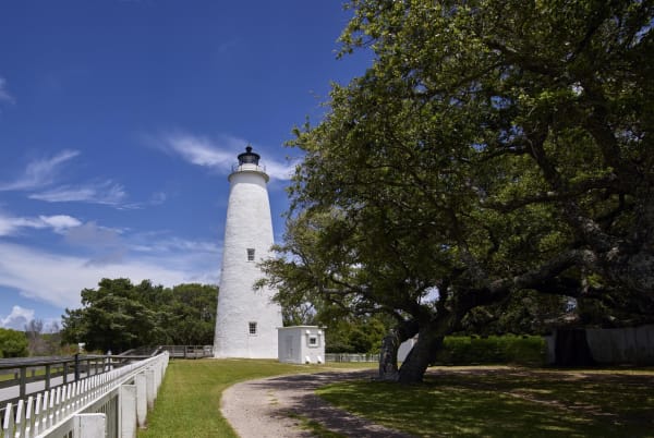
A squat white lighthouse beside a spreading live oak, reached by a white-railed boardwalk across a lawn.

Ocracoke Light Station

Ocracoke

The squat white 1823 tower in Ocracoke village, the oldest operating light station in North Carolina, on the island where Blackbeard was killed in 1718.

View details →
A white two-story frame building beside a brick path, with the plantation house and bare winter trees beyond.

Somerset Place State Historic Site

Creswell

One of the Upper South's largest plantations, on Lake Phelps, told through the more than 861 enslaved people who lived and worked there from 1785 to 1865.

View details →
A long weathered wooden shed with a tin roof on a flat sandy field, a reconstruction of the brothers' 1903 hangar.

Wright Brothers National Memorial

Kill Devil Hills

The sand flat below Kill Devil Hill where Orville and Wilbur Wright flew the first powered, controlled airplane on December 17, 1903.

View details →

Scenic Drives through The Outer Banks & the Albemarle

Scenic Byway

The Albemarle and Pamlico Colonial Towns: Somerset Place, Edenton, Hope, Bath and New Bern

About 161 miles through North Carolina's oldest towns, from Somerset Place on Lake Phelps across Albemarle Sound to Edenton, west to Hope Plantation at Windsor, down US 17 through Williamston and Washington to Bath on the Pamlico, and south to Tryon Palace and the confluence at New Bern.

161 mi · 3.8 hrs
Scenic Byway

The Outer Banks Scenic Byway: NC 12 from Kill Devil Hills through Hatteras to Ocracoke

About 112 miles down the Outer Banks, from the Wright Brothers memorial and Jockey's Ridge over to Fort Raleigh on Roanoke Island, then south on NC 12 by Pea Island and the Cape Hatteras Lighthouse to the free state ferry at Hatteras and across to Ocracoke village and its lighthouse.

112 mi · 4 hrs

The Outer Banks & the Albemarle rewards the unhurried. Pick a base, fan out, and let the country between the headline stops surprise you.

← Explore more of Open Road Guide