 Carol M. Highsmith / public domain via Library of Congress
The Story
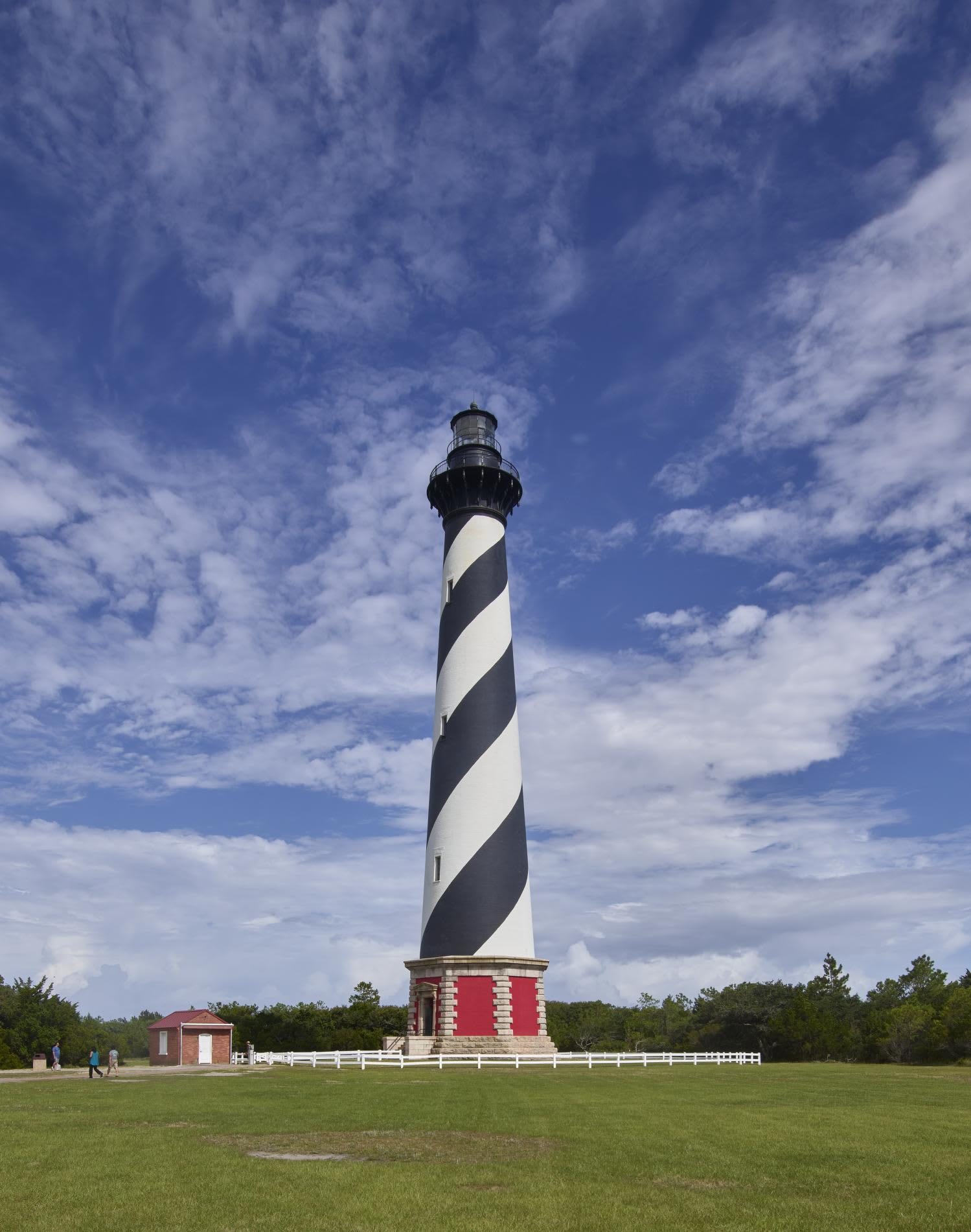
Off Cape Hatteras the warm Gulf Stream runs into a cold branch of the Labrador Current, and between them the Diamond Shoals reach some twelve miles out to sea. Hundreds of ships have been lost on them, and this stretch of coast earned the name Graveyard of the Atlantic. A first lighthouse went up in 1803, a mile from the water. Its replacement, finished in 1870, is the tallest brick lighthouse in North America, its tower painted in the black-and-white spiral every Banks driver knows.
It stood on what engineers call a floating foundation: yellow pine timbers laid in fresh water on compacted sand, with brick and granite on top, because pilings could not be driven through the hard layer eight feet down. That held only as long as the sand stayed put, and Hatteras Island has been creeping west for thousands of years. The tower began 1,500 feet from the ocean. By 1970 the surf was 120 feet away, and in 1980 a storm washed out the foundation of the 1803 light 600 feet to the south. The Coast Guard had already given the tower up to the sea once, in 1936, moving its light to a steel skeleton tower in Buxton Woods.
After years of argument the Park Service chose to move it. In 1999 the whole light station, tower, keepers' quarters and cisterns, rolled 2,900 feet inland and was set down in the same arrangement it had stood in since 1870. The grounds stay open while the tower is closed for a long restoration, so check before you count on a climb.
Visitor Info
On the Map
Nearby
The closest stops worth working into your route
Historical markers nearby
Roadside plaques and monuments within a short detour