 Bureau of Land Management California / Public domain via Wikimedia Commons
The Story
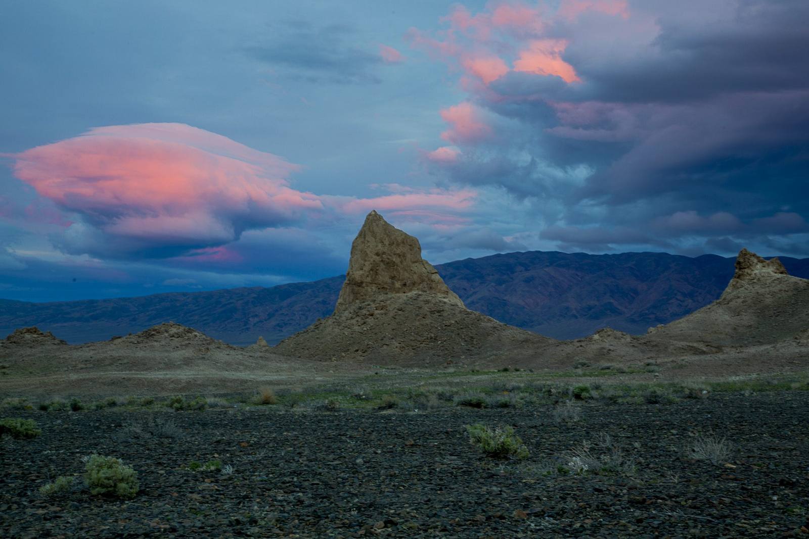
They look like something built, or something left over from a set, and both impressions have been earned. The Trona Pinnacles are more than five hundred tufa towers rising off the floor of the Searles Lake basin, the tallest around 140 feet, spread across roughly fourteen square miles of flat nothing. Tufa is calcium carbonate, and all of this grew underwater: sometime between about 10,000 and 100,000 years ago, calcium-rich groundwater welled up through fractures in the lake bottom and met alkaline lake water, and the deposits accumulated in the dark. Searles Lake was one link in a chain of Ice Age lakes that ran from Mono Lake down to Death Valley, and when the water left, the towers stayed. The Bureau of Land Management sorts them into towers, tombstones, ridges, and cones; an older nickname was Cathedral City.
The Interior Department made this a National Natural Landmark in 1968 as one of the best examples of tufa formation in North America. Film crews have been coming for decades, which is why the shapes look oddly familiar.
Access is a five-mile dirt road running east off CA-178 south of Trona, passable to ordinary cars when dry and a bad idea when wet. There is a half-mile loop path through the towers, no water, no shade, and no fee. Dispersed camping is allowed, and the silence after dark is total.
Visitor Info
On the Map
A story featuring this place
Go deeper into the history and character of this stop
Nearby
The closest stops worth working into your route
Historical markers nearby
Roadside plaques and monuments within a short detour