Home / California / Route 66 West: Cajon to the Sea / Santa Monica Pier
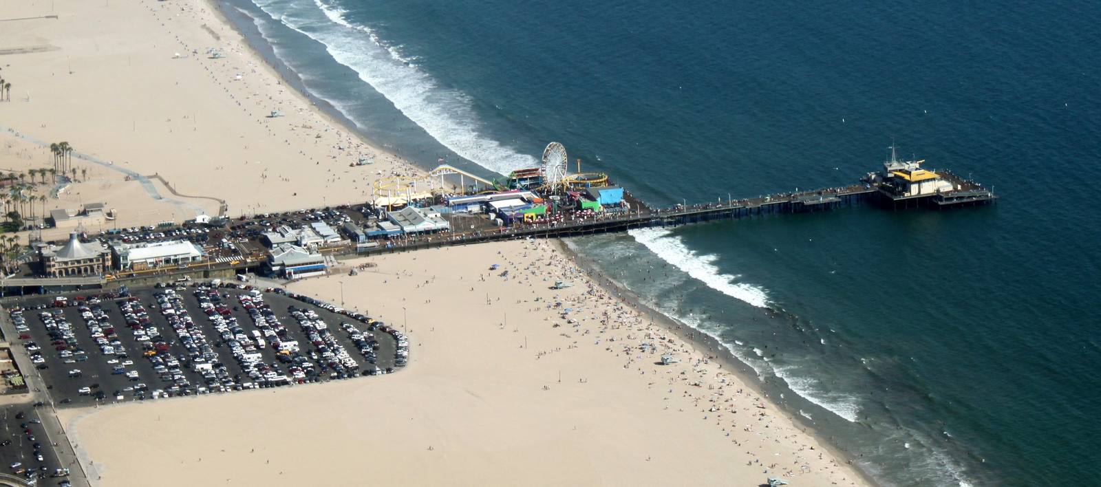
Santa Monica PierJelson25 / Public domain via Wikimedia Commons
โญAttraction

Santa Monica Pier

Part ofRoute 66 West: Cajon to the Sea
On this driveRoute 66 in California: Needles to the Pacific

Where the Mother Road runs out of continent, and where the End of the Trail sign gives the drive somewhere to finish.

โฑ
Duration
An hour or two, longer at sunset.
๐ŸŽŸ
Admission
Free to walk the pier; rides and attractions priced individually.
๐Ÿ“…
Best Season
Year round; mornings are quieter and clearer.
๐Ÿ’ก
Fun Fact
Route 66's official western end is a mile inland at Lincoln and Olympic, because federal rules required highways to connect to other highways rather than dead-end at the sea.

The Story

The road ends at the ocean, which is the only honest way for it to end. Route 66 came into California at Needles and crossed the whole Mojave to get here, and the pier, which opened in 1909, is where nearly everyone stops the car and walks out over the water. The End of the Trail sign is a few steps past the arcade, and it is the photograph the entire drive has been pointed at. It is also not the official end, and the guide may as well say so. Route 66 originally stopped in downtown Los Angeles at Seventh and Broadway. On January 1, 1936 it was extended west to the corner of Lincoln and Olympic, about a mile inland, where it met the highways that became the Pacific Coast Highway; federal rules required a route to connect to another route rather than simply stop, so the Mother Road never reached the sand. The pier sign went up in November 2009, during the pier's centennial, a revival of a marker that had stood nearby decades earlier, put there by people who understood that a road needs a finish line and a highway junction is a poor one. The city has since signed the real terminus at Lincoln and Olympic, and both are worth the five minutes. Stand at the rail, and the country is behind you.

Visitor Info

โฑ
Time Needed
An hour or two, longer at sunset.
๐ŸŽŸ
Admission
Free to walk the pier; rides and attractions priced individually.
๐Ÿ“…
Best Season
Year round; mornings are quieter and clearer.
๐Ÿ›ฃ๏ธ
Highway
Historic Route 66 terminus area

On the Map

Stories

A story featuring this place

Go deeper into the history and character of this stop

History
The Year California Closed the Road
JoAnn ยท 7 min read

Nearby

The closest stops worth working into your route

architectural21 mi away
Colorado Street Bridge
Beaux-Arts concrete arches curving 150 feet above the Arroyo Seco, opened in 1913 and later a link in Route 66.
historical23 mi away
Mission San Gabriel Arcangel
The fourth Alta California mission, built on Tongva land with Tongva labor, rebuilt after arson and now telling that story straight.
geological65 mi away
Cajon Pass
The gap the San Andreas tore between two mountain ranges, and the doorway every westbound traveler has used for two centuries.
roadside66 mi away
Wigwam Motel
Nineteen concrete teepees on Foothill Boulevard, the last of Frank Redford's Wigwam Villages and still renting rooms.
cultural69 mi away
Original McDonald's Site
The corner where two brothers invented fast food, now an unofficial museum the corporation has never blessed.
cultural104 mi away
Barstow
The Mojave's rail-and-road hinge, where the Santa Fe yards and Route 66 meet at the Casa del Desierto Harvey House.