Utah has a scenic byway named after bedding. Scenic Byway 143 lifts out of the desert near Parowan, tops the high plateau along the rim of Cedar Breaks National Monument, and falls down the far side into Panguitch — fifty-one miles and a 4,400-foot climb over some of the highest pavement in the state. On the map it is State Route 143. On every sign and brochure it is the Patchwork Parkway, and the name comes from a story most people who drive it have never heard: a winter in 1864 when seven men crossed this mountain on a path of their own quilts to keep a town from starving.
The second winter
The settlement was barely a year old. Mormon families had come over the mountains from Parowan in the spring of 1863 and laid out a town they first called Fairview, in a valley that sat too high and cooled too fast for the farming they knew — Panguitch is up around 6,600 feet, and the growing season is short and unforgiving. The first crops came in thin. The second winter arrived early and stayed hard. The wheat never matured; the people boiled it to soften it and it was still barely food. By midwinter the town was looking at genuine starvation, and the nearest flour was a long way off in either direction: Gunnison, more than a hundred miles north, or Parowan, some forty-odd miles west over a mountain pass already deep in snow.
On the quilts
They sent out two parties. The group that struck north for Gunnison was turned back almost immediately by impassable snow, which left every hope riding on the seven men walking west toward Parowan — Alexander Matheson, William Talbot, Thomas Richards, Jesse Lowder, John Butler, Thomas Adair, and John Paul Smith. They set out with a wagon and two yoke of oxen and made fair progress until the snow over Bear Valley grew too deep for the animals. They abandoned the wagon and the oxen at the head of the valley and continued on foot — and began breaking through the frozen crust with every step, sinking to the waist.
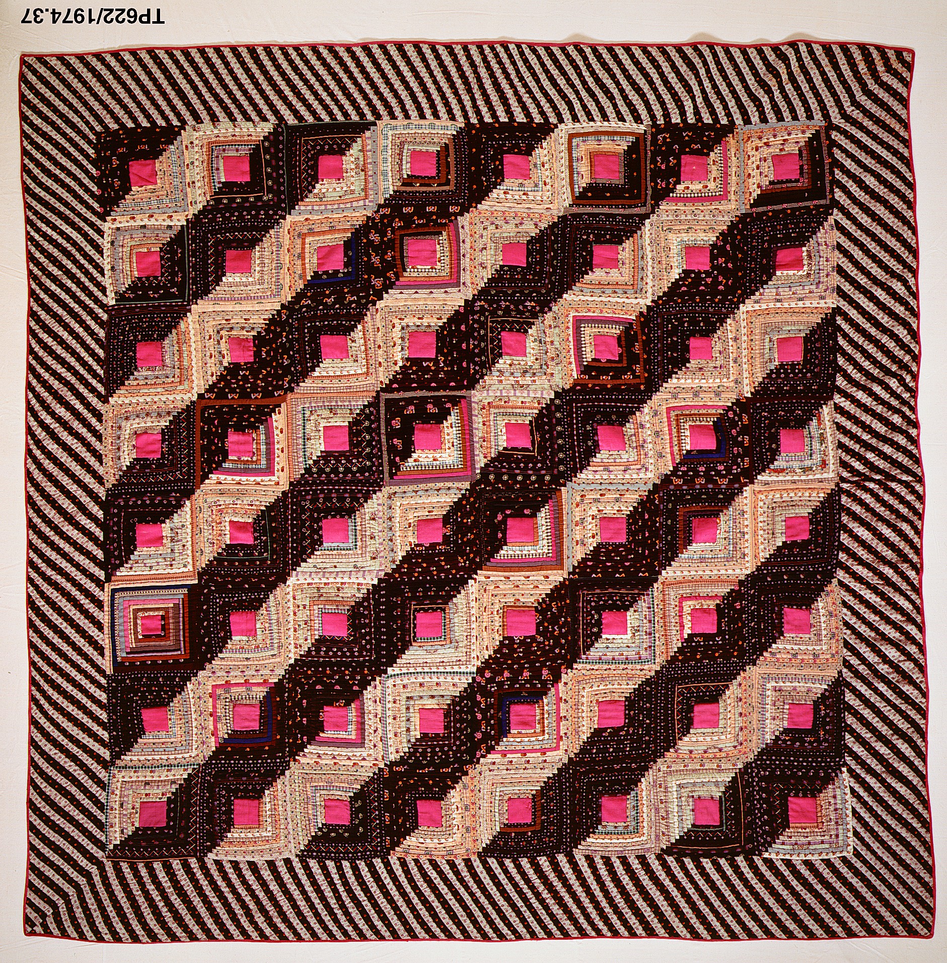
The detail that turned a hard journey into a legend is almost too tidy to believe, except that the men who lived it wrote it down. Stuck and exhausted, they spread a quilt on the snow and knelt on it to pray. When they rose, they saw that the quilt had held them up on top of the crust. So they went on the way the quilt had shown them: lay it down, walk to its far edge, lift it, lay it again — leapfrogging their bedding across the mountain a quilt-length at a time. They reached Parowan, loaded all the flour they could carry, and turned for home heavier and slower than they'd come. They made it. The town held on through the winter.
How a walk named a road
When Utah later designated the Brian Head–to–Panguitch route a scenic byway, it reached back for that winter and named the road the Patchwork Parkway — a quilt stitched over a mountain. It's worth being straight about the geography, though: the seven men crossed on the rough old Bear Valley road, a remnant of the Spanish Trail, not the smooth modern grade you drive today. The byway is the namesake, not the literal path. But it climbs the same high, indifferent country between the same two towns, and Panguitch has never let the memory loosen. Every June the town reenacts the crossing, and a small park off the main street holds a bronze of the walkers and seven stone benches, one carved for each man.
What you drive now
Knowing the story changes the drive. The climb out of Parowan is steep and quick — the road gains most of its elevation in the first ten miles of switchbacks, carrying you from sagebrush flats up through pinyon and pine into spruce and fir, a stack of climate zones crossed in a single morning. Near the top sits Brian Head, Utah's highest town and its southernmost ski resort, and just past it the byway skirts the rim of Cedar Breaks National Monument — a 2,000-foot-deep amphitheater of pink and orange rock eroded from the same Claron Formation that builds Bryce. From there it runs above 10,000 feet across open meadow and past lava flows still raw enough to look recent, then bends down to Panguitch Lake, a trout lake at about 8,400 feet, before the long forested descent into Panguitch and US-89.
It's a road that insists on summer. The high stretch and Cedar Breaks both close under snow each winter — the same snow that nearly ended the town the road now connects. Drive it in July, or in the gold of late September, and the danger is almost impossible to picture. But that's the whole point of the name. The pavement is new and the crossing is old, and the quilts are the reason there was a Panguitch waiting at the far end at all.