The Story
Nine Mile Canyon is 40 miles long, contains thousands of ancient rock art panels, and earned the nickname "the world's longest art gallery" from people who were not exaggerating. The canyon walls are covered with petroglyphs and pictographs left by Fremont and Ute peoples over a span of roughly 1,000 years, and the density of imagery is staggering — bighorn sheep, human figures, hunting scenes, geometric patterns, handprints, and enigmatic composite beings crowd the sandstone surfaces in concentrations that rival any rock art site in North America. You could spend a week here and still miss panels.
The name is a cartographic error that stuck. In the 1880s, a surveyor named the canyon after Nine Mile Creek, which he measured using a nine-mile-long triangulation baseline. The canyon itself is roughly 40 miles from end to end, but by the time anyone noticed the discrepancy, the name was already on the maps. It remains one of those charming mistakes that nobody has bothered to correct, perhaps because "Forty Mile Canyon" lacks the same ring.
The rock art spans multiple cultures and periods. The oldest images are attributed to the Fremont people, who inhabited the region from roughly AD 200 to 1300. The Fremont panels are distinctive — large, trapezoidal human figures with elaborate headdresses, broad shoulders, and a stylized formality that suggests ceremonial or spiritual significance. Many of the figures hold shields or wear necklaces, and their size and detail indicate that considerable time and skill went into their creation. These were not casual doodles. They were deliberate acts of cultural expression, placed on specific rock faces for reasons we can only speculate about.
Later additions by Ute peoples, dating from roughly the 1300s onward, introduce different styles and subjects — horses appear after Spanish contact, along with riders, battle scenes, and animal figures rendered in a more naturalistic style. The layering of Fremont and Ute imagery on the same panels creates a palimpsest of cultural expression that spans centuries, each generation adding its marks to surfaces their predecessors had already claimed.
The most famous panel is the Great Hunt Scene, a large, complex composition depicting dozens of bighorn sheep, hunters with bows, and figures that may represent dogs or other animals. The scene is widely reproduced in books about Southwestern rock art and is considered one of the finest narrative petroglyph panels in the country. It is located along the main canyon road and is accessible from a short pullout, though binoculars or a telephoto lens are helpful for studying the details.
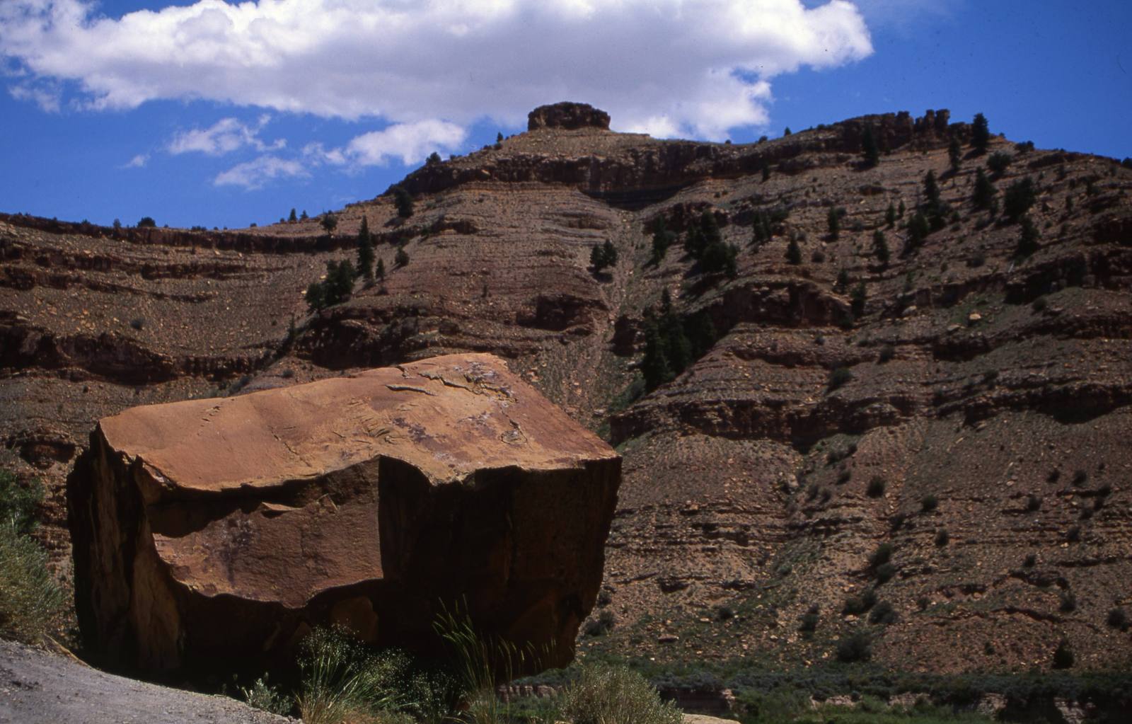
Driving Nine Mile Canyon requires patience and attention. The road is partly paved and partly graded dirt, and the rock art panels are scattered along both sides of the canyon at irregular intervals. Some are marked with small BLM signs. Many are not. The experienced approach is to drive slowly, scan the cliff faces on both sides, and stop whenever you see a dark, varnished wall — the smooth, dark surfaces created by desert varnish are the canvases the ancient artists preferred, and the pecked images show up as lighter marks against the dark coating.
The canyon is also rich in Fremont-era habitation sites. Granaries — small stone storage structures built into cliff alcoves — are visible high on the canyon walls at several points along the road. These structures stored corn, squash, and other crops grown on the canyon floor, and their placement in inaccessible alcoves suggests that food security was a serious concern. Pit house foundations and midden deposits have been documented by archaeologists throughout the canyon, evidence of a substantial population that farmed, hunted, and created art here for over a millennium.
The canyon's modern history adds another layer. In the early twentieth century, Nine Mile Canyon was a major freight route between the railroad town of Wellington and the Uinta Basin. Freight wagons and later trucks hauled supplies up the canyon, and several stage stops and small settlements were established along the route. The remains of these structures — stone foundations, collapsed cabins, old telegraph poles — are visible along the road, adding a more recent chapter to the canyon's long human history.
Nine Mile Canyon is accessed from the town of Wellington, about 8 miles southeast of Price on US-6. The canyon road heads north from Wellington and eventually connects to Highway 40 in the Uinta Basin, making a through-drive possible. The full drive takes three to five hours depending on how many stops you make, and making many stops is the point. Bring food, water, and a full tank of gas — there are no services in the canyon.
The rock art in Nine Mile Canyon is irreplaceable and increasingly threatened by natural erosion, vandalism, and industrial activity in the region. Visitors are asked to never touch the panels — oils from human skin accelerate the deterioration of both the desert varnish and the petroglyphs — and to report any damage or vandalism to the BLM. These images survived for a thousand years in the dry desert air. With care, they can survive a thousand more.
Visitor Info
On the Map
Nearby
The closest stops worth working into your route
Historical markers nearby
Roadside plaques and monuments within a short detour