Capitol Reef Country
Utah's quietest red-rock park and the country around it — Capitol Reef, the Waterpocket Fold, the orchards of Fruita, and the desert towns of Highway 24.
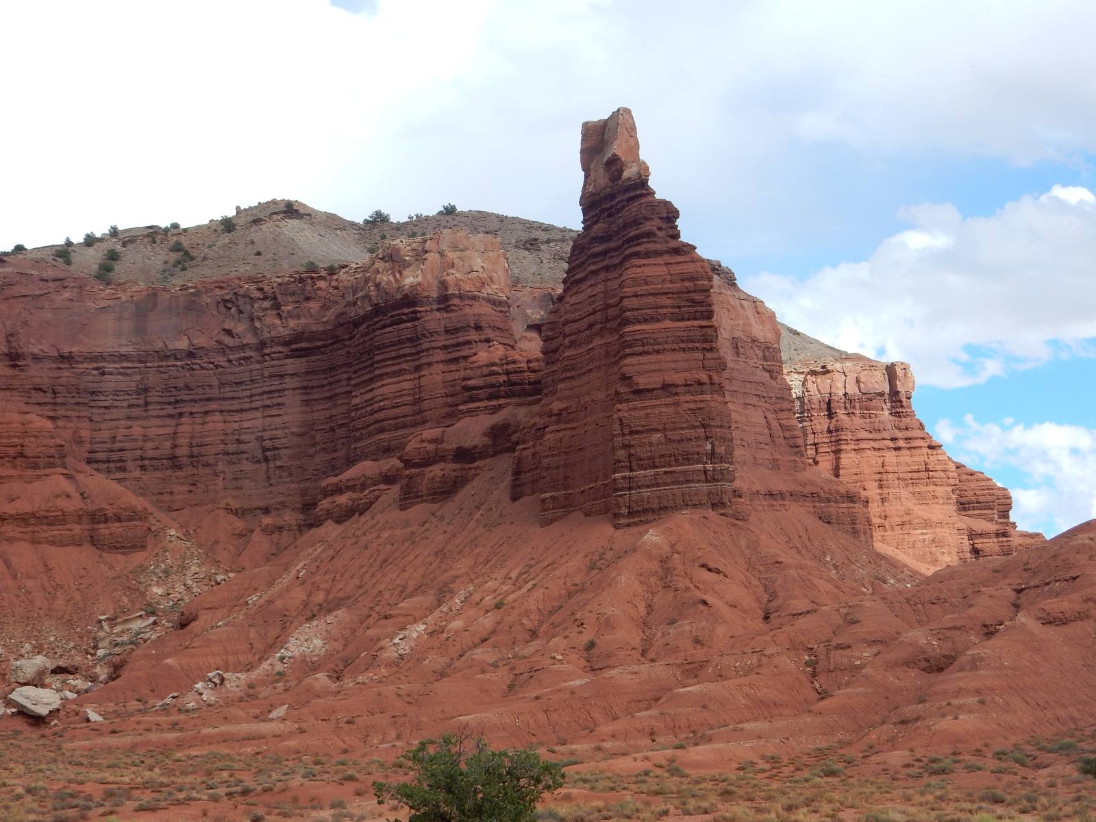
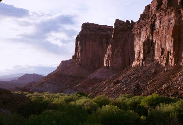
Capitol Reef is the quiet one. Set in the thinly populated middle of Utah's red-rock country, it draws a fraction of the crowds that pour into Zion and Bryce to the west or Moab to the east — which is precisely its appeal. The country here is built around the Waterpocket Fold, a hundred-mile wrinkle in the earth's crust where the rock layers buckle and tilt on edge, and around the orchards and ranch history tucked into its folds.
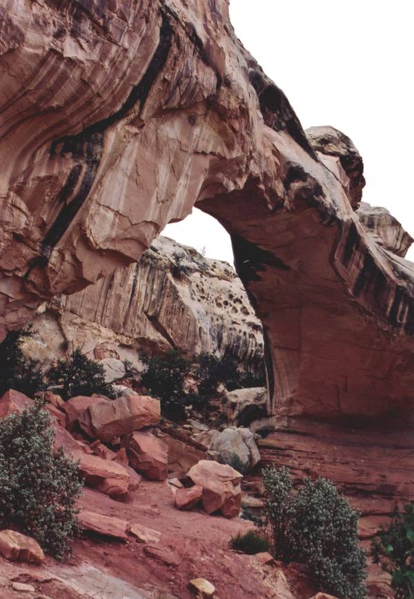
Capitol Reef National Park takes its name from two things early travelers noticed: the long ridge of rock that blocked their way like an ocean reef, and the rounded white domes of Navajo sandstone that reminded them of capitol buildings. State Route 24 cuts straight through the heart of it along the Fremont River, which means some of the park's best scenery — Fremont petroglyph panels, the Hickman Bridge trail to a broad natural span — sits right off the highway, no entrance gate required.
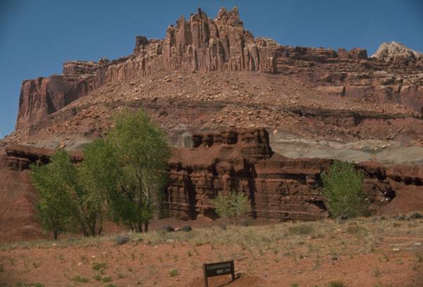
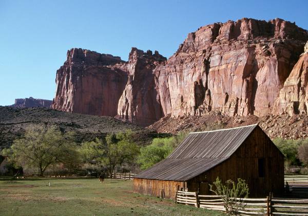
The soul of the park is Fruita, a green oasis of pioneer orchards along the river, planted by Mormon settlers in the late 1800s and still tended by the Park Service. In season you can pick cherries, peaches, and apples from the historic trees, and the Gifford Homestead — a 1908 farmhouse — sells pie and preserves out of its kitchen. It is one of the most unexpectedly tender places in the national park system.
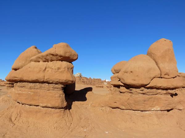
Two gateway towns bookend the region along Highway 24: Torrey to the west, a small, leafy town where Scenic Byway 12 comes down off Boulder Mountain to meet the park, and Hanksville to the east, a remote desert crossroads surrounded by some of the strangest land in Utah. Out that way stand the dark badland spire of Factory Butte and the thousands of squat sandstone hoodoos — the "goblins" — of Goblin Valley State Park.
It is hot in summer and gloriously empty much of the rest of the year. Come for the orchards, the Fold, and the rare sensation of having a national park nearly to yourself.
What to See in Capitol Reef Country
9 places across the region, grouped by what they are.
Geology & Rock Formations
Natural Areas
Historic Sites
Towns & Gateways
Scenic Drives through Capitol Reef Country
Highway 12 Scenic Byway
A 124-mile All-American Road through southern Utah's red-rock canyons, alpine forests, and slickrock wilderness — widely regarded as one of the most scenic drives in America.
Highway 24 Scenic Byway
A 47-mile drive through the Waterpocket Fold — the geological wave that defines Capitol Reef — from Torrey at Highway 12's eastern terminus to the desert crossroads of Hanksville.
Stories from Capitol Reef Country
The Small Print at the Side of the Road
Utah's historical markers carry two stories: the one on the front, and the one at the bottom — a hundred and twenty-five years of daughters, sons, counties, towns, and one museum deciding what deserved bronze.
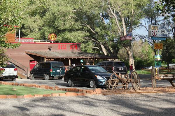
The Town You Were Supposed to Drive Through
Torrey, Utah exists because of the road to Capitol Reef — a farm town that became a gas-and-bed stop on the way to somewhere more famous. Then a settlement of a couple hundred people gave its name to a national publisher, won Utah's first dark-sky designation, and decided it would not be only a place you pass.
The Orchard That Outlived the Town
No one has lived in Fruita, Utah, since 1969, and the town has never been better tended. How a Mormon farm settlement came to be preserved by the government that emptied it.
Capitol Reef Country rewards the unhurried. Pick a base, fan out, and let the country between the headline stops surprise you.
← Explore more of Open Road Guide