The Story
Emigration Canyon is the last stretch of road the Mormon pioneers traveled before they saw the Salt Lake Valley for the first time, and driving it today — winding through the narrow, tree-lined corridor with the city gradually revealing itself through gaps in the hills ahead — you can feel the narrative building the same way they must have felt it in July 1847. The canyon is a threshold, a transition between the mountain wilderness behind you and the civilization that was built in the valley below, and that transition has been happening on this exact route for nearly 180 years.
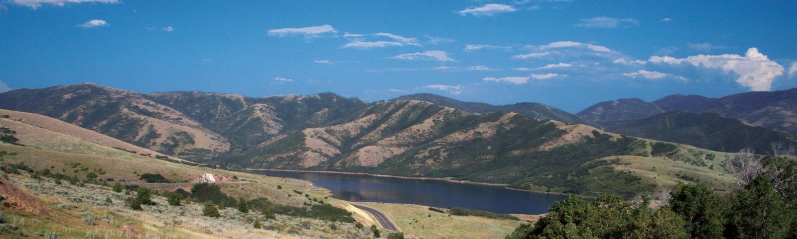
The canyon runs roughly eight miles from the crest of Big Mountain Pass to the mouth of the canyon at the eastern edge of Salt Lake City, descending through a landscape of scrub oak, maple, and cottonwood that feels surprisingly rural given that downtown is ten minutes away. The road follows Emigration Creek through a narrow valley flanked by modest peaks — Donner Hill, Perkins Peak, and the ridgelines that separate Emigration from its neighboring canyons — and the scale is intimate rather than dramatic. This is not a landscape of towering cliffs and vast panoramas. It is a landscape of creek bottoms and hillsides and the quiet, persistent evidence of people passing through.
The historical weight of the canyon is immense. The Donner-Reed Party — the ill-fated wagon train that would later face catastrophe in the Sierra Nevada — passed through Emigration Canyon in August 1846, a full year before the Mormon pioneers. They were among the first documented Anglo-American travelers to use the route, and the brush-clearing and road-building they did through the narrow canyon made the passage significantly easier for those who followed. The Mormon pioneers, led by Brigham Young, entered the valley through this same corridor on July 24, 1847 — a date still celebrated as Pioneer Day, one of Utah's most important holidays. The corridor delivered them to the valley floor, where the city they built took shape around Temple Square — the ten-acre block reserved at its center before the first homes went up.
This Is The Place Heritage Park sits at the mouth of the canyon, marking the approximate spot where Brigham Young reportedly declared that the valley below was the right place to settle. The park is a large living history village with reconstructed pioneer buildings, costumed interpreters, and exhibits that cover the settlement of the Salt Lake Valley from multiple perspectives — including, increasingly, the perspectives of the indigenous Shoshone, Ute, and Goshute peoples who were already living in the valley when the pioneers arrived. The monument at the park entrance — a tall pillar topped with statues of Young, Heber C. Kimball, and Wilford Woodruff — is visible from miles away and has been a Salt Lake City landmark since its dedication in 1947.
The canyon itself has evolved from pioneer trail to suburban commuter route, and the mix of uses creates a character that is uniquely Salt Lake. Cyclists train on the steady grade — the canyon is a favorite road cycling climb, with a consistent 4-5 percent gradient that draws riders from across the city. Runners use the shoulders. Dog walkers populate the lower trailheads. And commuters from the small communities in the upper canyon — Emigration Canyon has a permanent residential population of several thousand — drive the road daily, passing the same route that the pioneers walked with handcarts.
The residential development in the canyon has been a source of ongoing tension. The narrow canyon floor and steep hillsides limit buildable land, and the fire risk in the dry scrub oak and grass is significant. Water supply, septic systems, and road capacity are constant concerns, and the canyon's proximity to the city means development pressure is relentless. Balancing the historical significance and natural character of the canyon against the demand for housing is a challenge that Salt Lake City has been navigating for decades with mixed results.
In autumn, the canyon puts on a color show that draws visitors from the valley below. The bigtooth maples and Gambel oaks that cover the hillsides turn red, orange, and gold, and the narrow corridor concentrates the color into an intensity that wider valleys cannot match. A Sunday afternoon drive up Emigration Canyon in mid-October, windows down, the air crisp and smelling of fallen leaves, is a Salt Lake City tradition that predates automobiles.
The canyon connects to several other recreational opportunities. The Bonneville Shoreline Trail crosses the mouth of the canyon, offering hiking and mountain biking along the ancient shoreline of Lake Bonneville — visible as a distinct horizontal line on the hillsides above the valley, marking the water level of the prehistoric lake that once covered this region. Pinecrest Canyon, a smaller tributary canyon, offers additional hiking trails and a quieter atmosphere.
Emigration Canyon is not the most spectacular canyon in Utah. It does not have the towering walls of Zion or the hoodoos of Bryce. What it has is story. Every foot of the road carries the weight of passage — the Donner-Reed Party, the Mormon pioneers, the generations of Salt Lake City residents who have used the canyon as a gateway between the settled valley and the wild mountains. The canyon has been a route, a threshold, and a home for nearly two centuries, and driving through it today you are adding your own passage to a story that started with wagon tracks in the dust and continues with tire tracks on the asphalt.
Visitor Info
On the Map
A story featuring this place
Go deeper into the history and character of this stop
Nearby
The closest stops worth working into your route
Historical markers nearby
Roadside plaques and monuments within a short detour