Route 66: Albuquerque to Holbrook
About 234 miles of Route 66 and I-40 from Albuquerque's West Mesa to Holbrook, between two rivers both named Puerco: a 1933 truss bridge at one end, the Laguna mission and Mount Taylor in the middle, and the Church Rock uranium spill that ran down the second Puerco into Arizona.
The Route at a Glance
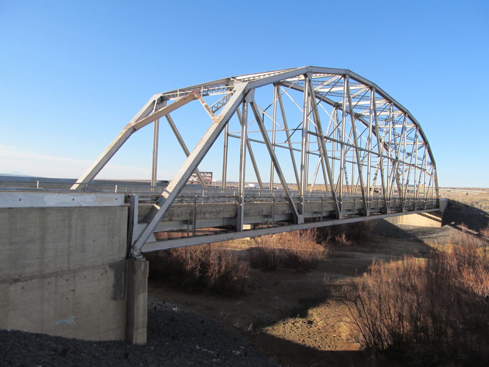
Two rivers called Puerco, the dirty one, bracket this drive, and they are not the same river. The first is the Rio Puerco of the east, a tributary of the Rio Grande, which Route 66 meets after it drops off Nine Mile Hill west of Petroglyph National Monument. The Puerco floods hard and eats its banks, so in 1933 the State Highway Department crossed it with a single Parker truss 250 feet long and no pier in the channel for the water to take out. The bridge opened the Laguna Cutoff, the straight run west that replaced the old loop down the Rio Grande through Los Lunas. It carried traffic, at the end as an interstate frontage road, until 1999, and it still stands at exit 140, open to anyone on foot.
West of the river the road crosses the lands of the Pueblo of Laguna, whose mission church of San José, built in 1699, stands white on its hill in plain view of the interstate, and passes the turn for Acoma Sky City, a dozen miles south on the pueblo's own road. Mount Taylor fills the view to the north. To the Diné it is Tsoodził, the sacred mountain of the south, and Acoma, Laguna, Zuni and Hopi each hold it by their own names. In 2009 those five nations together had some 344,000 acres of it placed on the state register as a traditional cultural property, and in 2014 the New Mexico Supreme Court upheld the listing against the landowners and mining interests who had sued to undo it.
The reason they sued lies at the mountain's foot. In 1950 Paddy Martinez, a Navajo sheepherder, picked up a yellow rock near Haystack, northwest of Grants, and the uranium in it set off a boom that ran for three decades. The ore lay on ground where the Santa Fe Railway held the mineral rights. Families around Haystack later recalled building their hogans from rock out of the mines. South of Grants, NM-117 and NM-53 lead into the black lava of El Malpais, and west of Thoreau the highway tops the Continental Divide at Campbell Pass, signed at 7,275 feet, the high point of I-40 in New Mexico. From here the water runs toward the Pacific.
That water is the second Puerco, the Puerco of the West, which rises on the divide and runs down past Gallup into Arizona. At about half past five on the morning of July 16, 1979, thirty-four years to the day after Trinity, the dam on the United Nuclear Corporation's tailings pond at Church Rock, northeast of Gallup, gave way. Some 94 million gallons of acidic, radioactive liquid and 1,100 tons of solid mill waste went down Pipeline Arroyo into the river, past Gallup within hours and on into Arizona until the sand and the sun took the last of it. The Navajo Nation counts it the largest single release of liquid radioactive waste in the United States. The land it crossed was Navajo, and the families along it watered their sheep and cattle in the river, which water pumped from the Church Rock mines had kept running year-round since 1969 and would until 1986.
The road enters Arizona at Lupton, below red sandstone cliffs, and follows the river the rest of the way. The Puerco runs through Petrified Forest, past the ruin of Puerco Pueblo, which is named for it, and joins the Little Colorado just east of Holbrook, where Arizona's Route 66 carries on west. The drive is about 234 miles, four and a half hours without stops; winter storms close I-40 over the divide.
The Drive, Stop by Stop
5 stops along the route, in driving order from Albuquerque, New Mexico to Holbrook, Arizona. 3 of them sit off the road itself — the distance is noted on each.
- 1
- 2
- 3
- 4
- 5
That's the drive. Take your time, pull over often, and let Route 66: Albuquerque to Holbrook do what it does best.
← Explore more of Open Road Guide