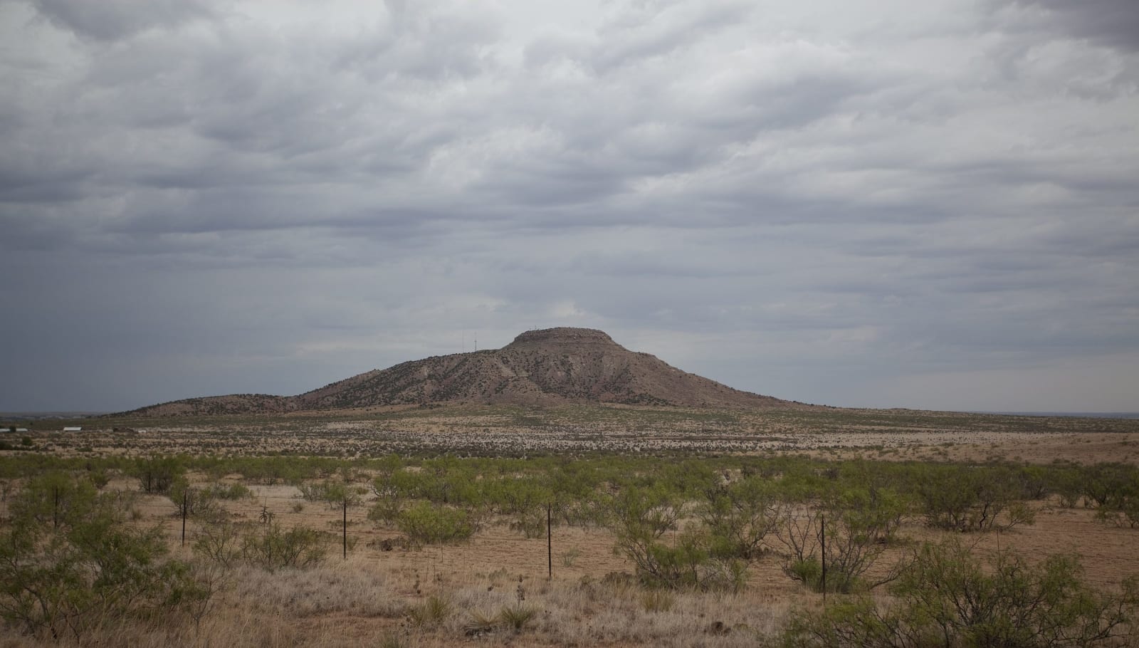
Route 66 & the Eastern Plains
Hwéeldi at Bosque Redondo and the treaty signed there, the Blue Hole at Santa Rosa, Tucumcari's neon, and the points found at Blackwater Draw.
At Blackwater Draw, near Portales, excavators in the 1930s found fluted spear points with the bones of mammoths, and the points took their name from the nearby town of Clovis. For thousands of years after the mammoths, this was the edge of the Llano Estacado, the hunting country of the Comanche and, before them, the Apache.
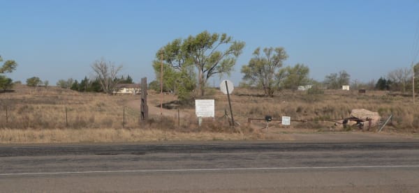
Bosque Redondo, on the Pecos at Fort Sumner, is where the army held the Diné and the Mescalero Apache, the Ndé, after their surrender. By 1865 some 8,500 Diné and about 500 Mescalero were confined on a reservation with bad water, failed crops and too little firewood; the Diné remember it as Hwéeldi. The Mescalero slipped away in November 1865. The Diné stayed until the treaty signed at Fort Sumner on June 1, 1868 let them go home. The memorial's building, by the Diné architect David Sloan, takes the shapes of a hogan and a tipi; he and the landscape architect Johnpaul Jones planned it within a ring of cottonwoods, after the name Bosque Redondo, the round grove. Billy the Kid was shot at the old fort in July 1881 and is buried in its cemetery.
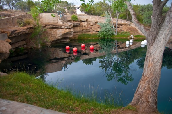
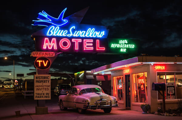
Route 66 crossed the plains from Glenrio on the Texas line through Tucumcari and Santa Rosa, where the Blue Hole, a spring-fed sinkhole eighty feet deep, has drawn divers and swimmers for a century. Tucumcari's motel signs still light up the old road at night. Interstate 40 bypassed the towns one by one, the last of them in 1981.
What to See in Route 66 & the Eastern Plains
4 places across the region, grouped by what they are.
Natural Areas
Historic Sites
Architecture
Scenic Drives through Route 66 & the Eastern Plains
Stories from Route 66 & the Eastern Plains
Route 66 & the Eastern Plains rewards the unhurried. Pick a base, fan out, and let the country between the headline stops surprise you.
← Explore more of Open Road Guide