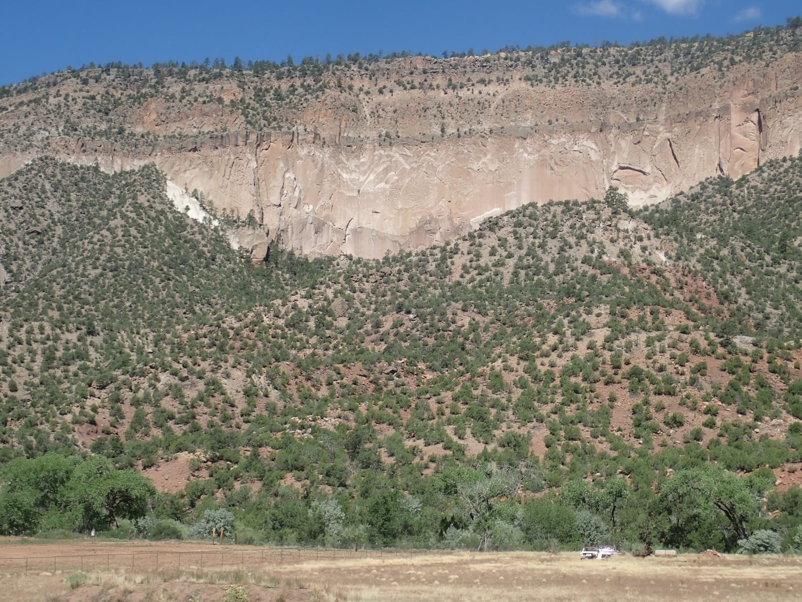
Pale cliffs of Bandelier Tuff above juniper slopes and the cottonwoods of the Jemez River in San Diego Canyon, south of Jemez Springs
Kent G. Budge / CC0 via Wikimedia Commons
New Mexico · Region

Santa Fe & the Jemez

The Palace of the Governors and the revolt that emptied it, the ends of two trails, Bandelier's canyon homes, and the hidden city on the Pajarito Plateau.

6 places to explore

Santa Fe was made the capital of the Spanish province around 1610, and the Palace of the Governors on its plaza has been in public use ever since. In August 1680 the Pueblos rose together, besieged the town, and drove the colonists and friars south to El Paso; the revolt's leaders held the palace until Diego de Vargas came back in 1692. The town was the northern end of the Camino Real from Mexico City and, from 1821, the western end of the Santa Fe Trail from Missouri.

West of the Rio Grande the Jemez Mountains are the rim of a volcano. The Valles Caldera is the grassy crater it left about 1.25 million years ago, and the ash it threw out hardened into the soft tuff of the Pajarito Plateau. Ancestral Pueblo people carved rooms into the cliffs of Frijoles Canyon, now Bandelier, and the people of Cochiti and San Ildefonso trace their ancestry there. Jemez Pueblo, Walatowa, and Zia, whose sun symbol is on the state flag, lie south along the Jemez River.

In 1943 the Army took over a boys' ranch school on the plateau for the laboratory where the first atomic bombs were designed, a town that officially did not exist and received its mail at a post office box in Santa Fe. Los Alamos is still a national laboratory, and Bandelier's canyon homes sit a few miles from it.

What to See in Santa Fe & the Jemez

6 places across the region, grouped by what they are.

Geology & Rock Formations
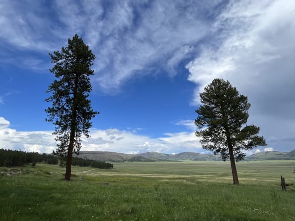
Two ponderosa pines at the northern edge of the Valle Grande meadow in Valles Caldera, forested hills beyond

Valles Caldera National Preserve

Los Alamos

A crater thirteen miles across, floored with grass, left by an eruption 1.25 million years ago and owned privately for 140 years under a law that called it vacant land.

View details →

Historic Sites

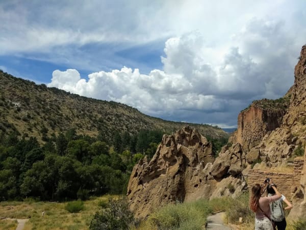
Eroded tuff cliffs in Frijoles Canyon at Bandelier, looking up the canyon toward the Jemez Mountains, a visitor taking a photograph in the foreground

Bandelier National Monument

White Rock

Rooms carved into soft volcanic tuff in Frijoles Canyon, named for a Swiss scholar who was led there in 1880 by a man from Cochiti Pueblo.

View details →
Stone walls of Gisewa pueblo with the ruined tower of the San José de los Jemez mission church behind them

Jemez Historic Site

Jemez Springs

The stone walls of a 1620s mission church standing among the ruins of Gisewa, a Jemez village named for the hot springs beside it.

View details →
The long adobe front and portal of the Palace of the Governors on the Santa Fe plaza, with people walking beneath it

Palace of the Governors

Santa Fe

The long adobe on the north side of the Santa Fe plaza, called the oldest public building in continuous use in the country, though its own founding date is in dispute.

View details →

Towns & Gateways

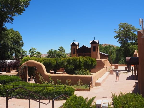
El Santuario de Chimayó, its twin bell towers rising behind an adobe-walled courtyard

El Santuario de Chimayó

Chimayo

A small adobe shrine on the High Road to Taos, built around 1816 over earth that pilgrims still carry away in hope of healing.

View details →

Architecture

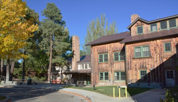
Fuller Lodge in Los Alamos, its log walls, green-trimmed windows and stone chimney under autumn trees

Fuller Lodge

Los Alamos

The upright-log dining hall of a boys' ranch school, which fed and housed the Manhattan Project after the Army bought the school in 1942.

View details →

Scenic Drives through Santa Fe & the Jemez

Scenic Byway

The High Road to Taos: Santa Fe to Taos Pueblo

From the Santa Fe plaza through the land-grant villages of the Sangre de Cristo foothills, Chimayó, Truchas and Las Trampas, to Ranchos de Taos and Taos Pueblo.

80 mi · 2.5 hrs
Scenic Byway

The Santa Fe Trail: Raton to Santa Fe

Down the Mountain Branch of the Santa Fe Trail from Raton through Cimarron, Fort Union, Las Vegas and Pecos to the trail's end on the Santa Fe plaza.

220 mi · 4.75 hrs

Stories from Santa Fe & the Jemez

Culture

The Sun on the Flag

New Mexico's flag, license plates and highway signs carry a sun symbol taken from a pot made at Zia Pueblo. Nobody asked Zia, and the pueblo has spent decades asking the state to say so.

6 min read

Santa Fe & the Jemez rewards the unhurried. Pick a base, fan out, and let the country between the headline stops surprise you.

← Explore more of Open Road Guide