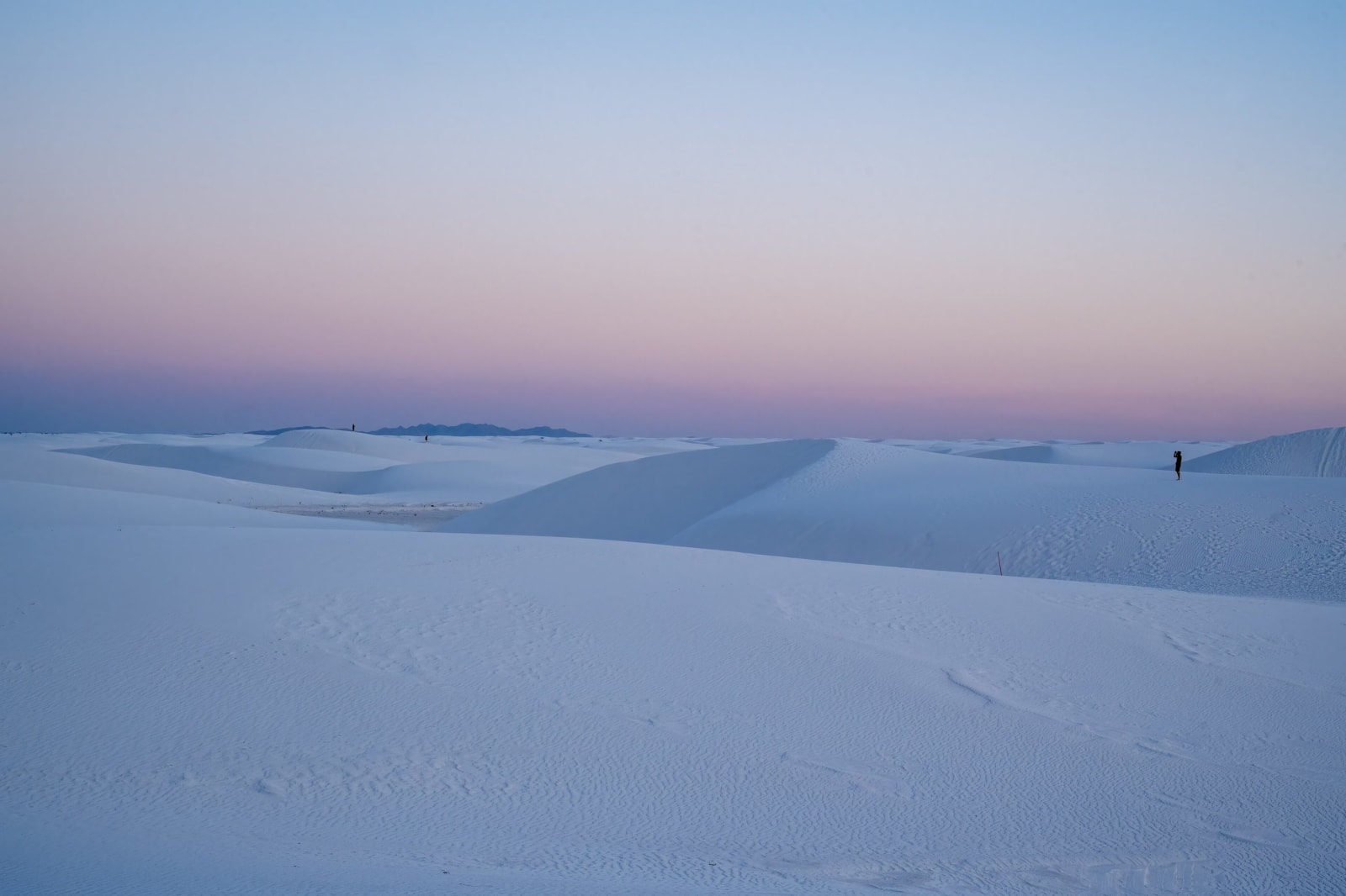
White Sands & the Sacramento Mountains
The gypsum dunes and the footprints found in them, the Mescalero Apache homeland, the Lincoln County War, and the cub rescued from the Capitan fire.
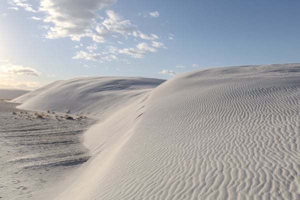
White Sands is the largest gypsum dunefield on Earth, about 275 square miles of white sand blown out of the dry bed of an Ice Age lake in the Tularosa Basin. Footprints pressed into that old lakeshore and buried under it have been dated to between 21,000 and 23,000 years ago, some of the oldest evidence of people anywhere in the Americas, though the dates are still argued. At Three Rivers, Jornada Mogollon people carved more than 21,000 petroglyphs into a basalt ridge between about 900 and 1400.
The Sacramento Mountains rise straight out of the basin to the east, and the Mescalero Apache Reservation, set aside in 1873, takes in much of their timbered high country. It is the homeland of the Mescalero, and also of the Chiricahua and Lipan Apache bands who were brought here in the early twentieth century; the Chiricahua came in 1913 after twenty-seven years as prisoners of war. The tribe runs the ski area at Ski Apache and the resort at Inn of the Mountain Gods.
North of the mountains, Lincoln is the town where two merchant factions fought the Lincoln County War of 1878, and where Billy the Kid escaped from the courthouse jail in 1881, killing two deputies. In 1950 firefighters in the Capitan Mountains found a badly burned black bear cub clinging to a tree; he became Smokey Bear and is buried at Capitan.
What to See in White Sands & the Sacramento Mountains
4 places across the region, grouped by what they are.
Natural Areas
Historic Sites


Towns & Gateways
Stories from White Sands & the Sacramento Mountains
White Sands & the Sacramento Mountains rewards the unhurried. Pick a base, fan out, and let the country between the headline stops surprise you.
← Explore more of Open Road Guide