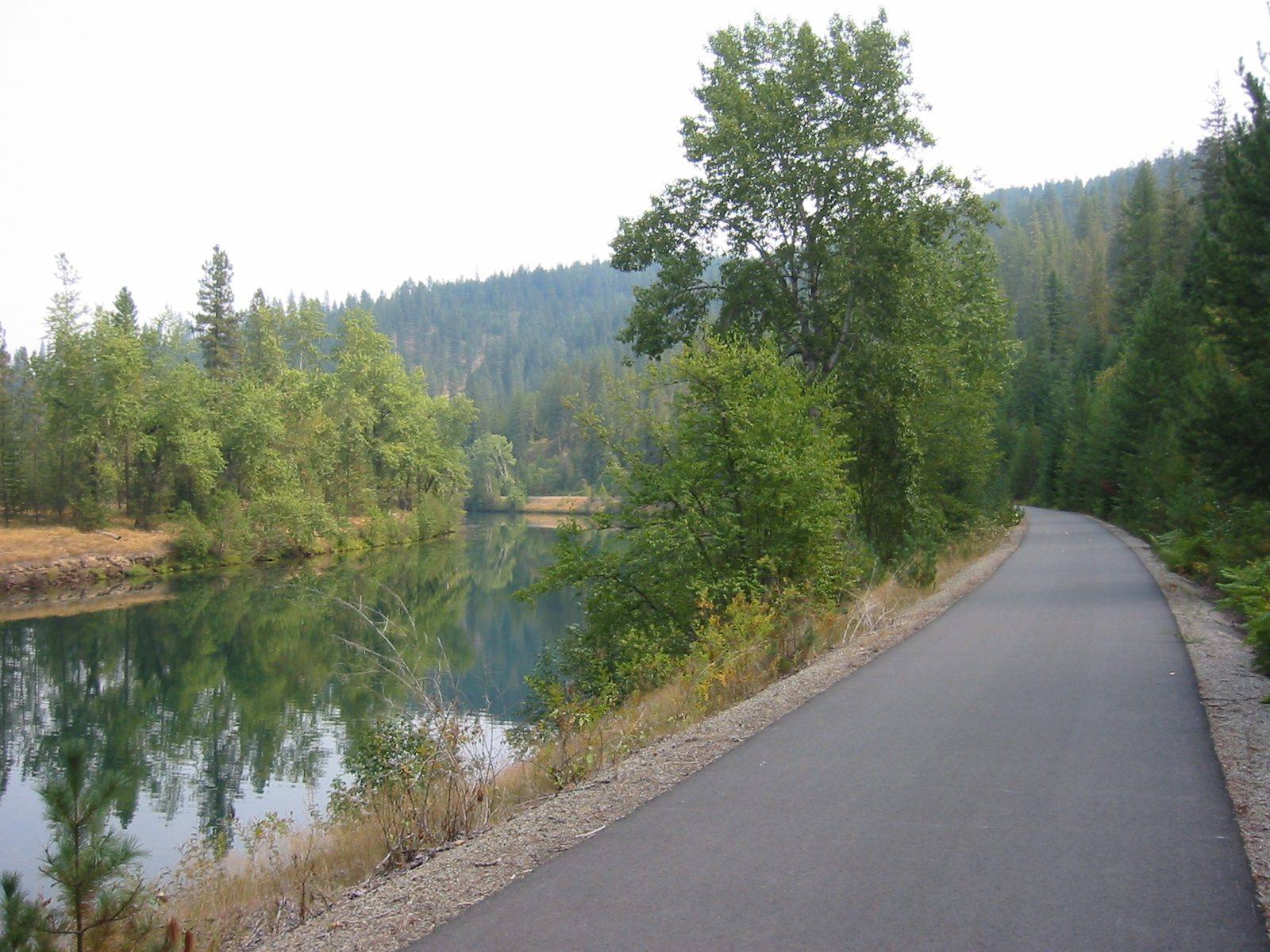
 Todd Murray / CC BY-SA 3.0 via Wikimedia Commons
The Story
For most of a century the Union Pacific's Wallace Branch carried ore and concentrate out of the Silver Valley, down the Coeur d'Alene River and around the south end of the lake to Plummer. It spilled as it went. By the time the last trains ran in the early 1990s, the ballast along the line was laced with lead and other metals from the mines, and much of the river basin below Kellogg was part of the Bunker Hill Superfund site.
The Coeur d'Alene Tribe sued the railroad and the mining companies over the damage. The answer the tribe, the state of Idaho, the federal government and Union Pacific settled on in 2000 was to bury the problem under a trail: pull the rails, haul the worst waste to the Bunker Hill repository, and seal the rest of the railbed under asphalt. Union Pacific paid for the work and remains responsible for the trail and its bridges for good; the tribe and Idaho's parks department own and run it together.
What they built runs seventy-two miles from Mullan, near the Montana line, to Plummer on the reservation — past Wallace and Kellogg, along the slow lower river and its chain of lakes and marshes, and across the old railroad bridge over the lake at Heyburn State Park. Harrison, on the water halfway along, makes a good place to start a ride in either direction. At Plummer the tribe added a park honoring its members who died in American wars, so the westernmost mile marker reads minus 0.7.
The signs along the way mean what they say: stay on the pavement, eat at the picnic tables, and keep children and dogs out of the soil at the water's edge. The cap is doing its job.
Visitor Info
On the Map
Nearby
The closest stops worth working into your route
Historical markers nearby
Roadside plaques and monuments within a short detour