 Martin Kraft / CC BY-SA 3.0 via Wikimedia Commons
The Story
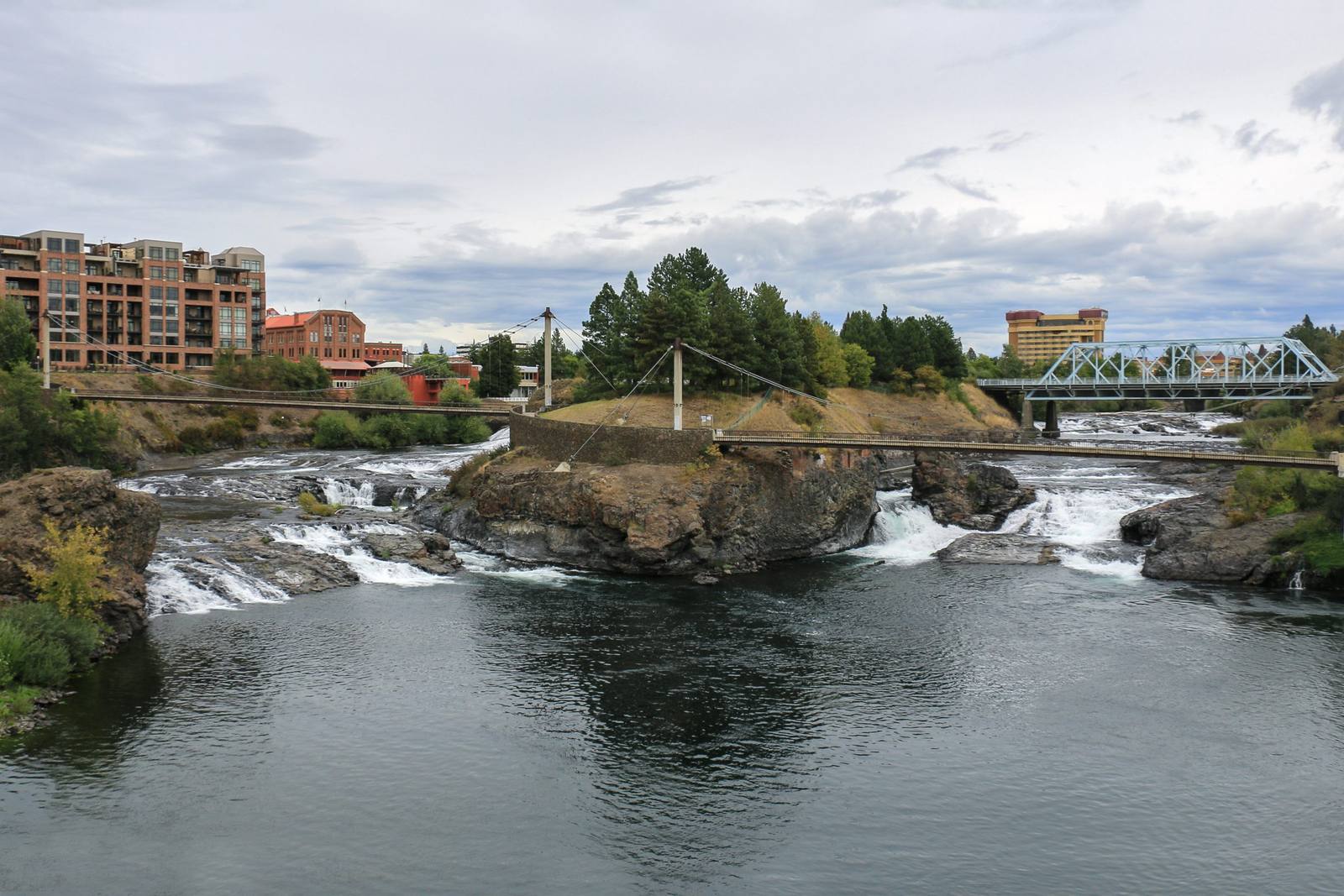
The falls were the heart of the Spokane country. Outsiders came to divide the people into Upper, Middle and Lower Spokane by where they lived along the river, and each early summer the Coeur d'Alene, Kalispel and Salish-Kootenai came to fish beside them, trade and renew ties. A salmon chief, usually Spokane, ran the fishery. He oversaw the scaffolds and weirs, set how the fish were taken and how many each people carried away, and made sure enough got through for the tribes upriver and to spawn. The falls were also the end of the run: no salmon climbed past the gorge.
Salmon mattered enough that the Spokane missed the 1855 treaty council in the Walla Walla Valley, which fell in the fishing season, and so had no treaty to protect their fishing beyond the reservation they were later given. Washington Water Power put its first dam and generator at the falls by Monroe Street in 1890, and the city's streetlights and streetcars ran on the river. The blow came downstream. Little Falls Dam, finished in 1911 at one of the Spokane's eleven main fishing places, had no working fish ladder, and the runs above it ended; a former tribal chairman, Alex Sherwood, remembered the salmon carrying on below the dam for some years after. Grand Coulee closed the upper Columbia to the rest in the late 1930s.
On August 24, 2022, the Spokane Tribe led a release of 146 adult Chinook into the river at Sandifur Bridge, just below the falls; John Matt Jr., of the reservation, let the first one go. A sculpture of the salmon chief stands at the foot of the falls, and above the lower falls on Spokane Falls Boulevard, west of Lincoln Street, a panel the tribe wrote with the city tells how Coyote made them. The tribe still gathers at the falls each year for its powwow.
Visitor Info
On the Map
Nearby
The closest stops worth working into your route
Historical markers nearby
Roadside plaques and monuments within a short detour