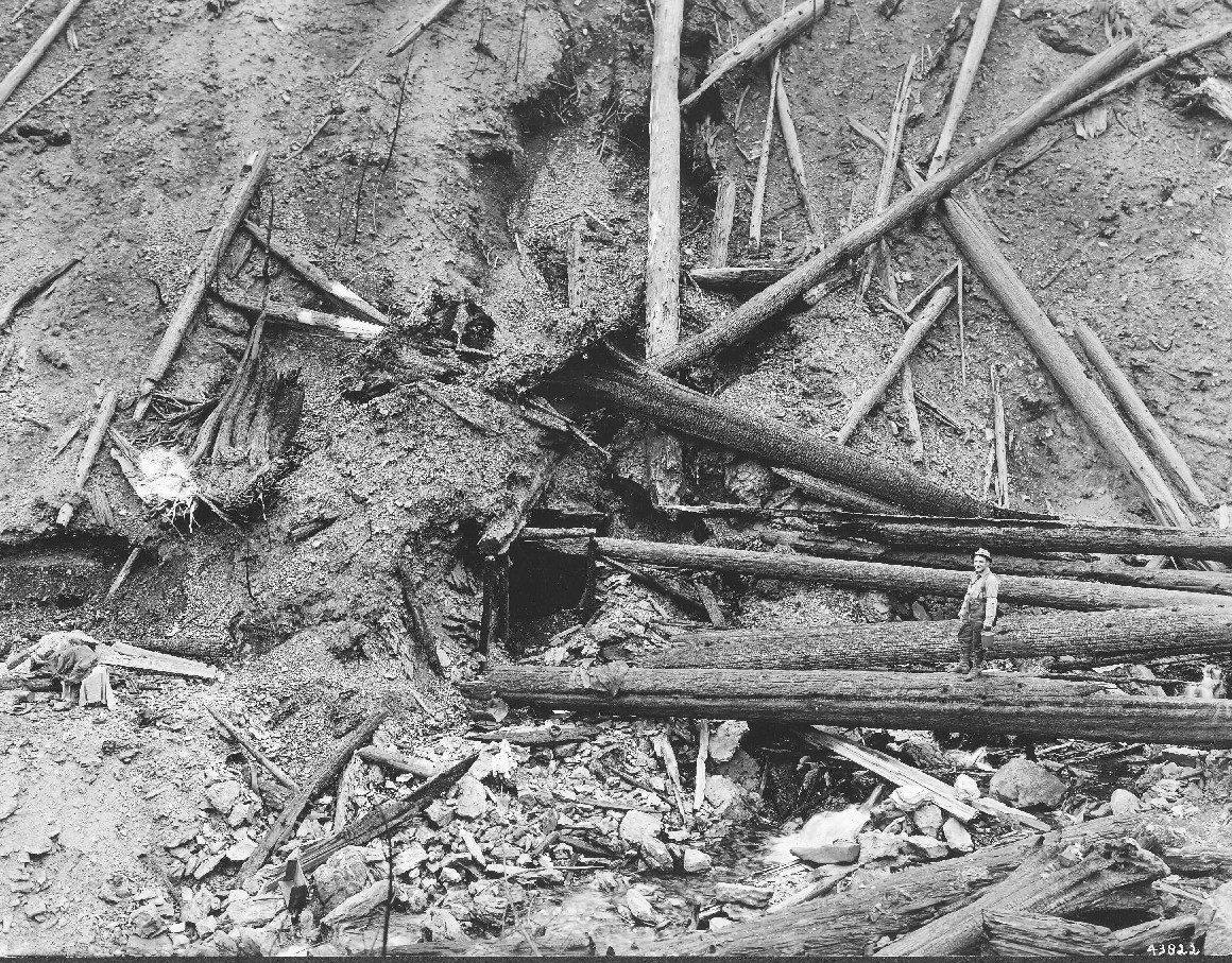
 U.S. Forest Service / public domain via Wikimedia Commons
The Story
By August 1910 the northern Rockies had been burning all summer, and on the afternoon of the twentieth a gale drove the scattered fires together into what became known as the Big Blowup. In two days fire ran across some three million acres of Idaho, Montana and Washington and killed at least eighty-five people. A third of Wallace burned.
Ed Pulaski, a Forest Service ranger who knew these mountains well, was on the West Fork of Placer Creek south of town with a crew of about forty-five men when the fire overran them. He led them down the creek through smoke and falling trees to an abandoned mine tunnel, the Nicholson adit, and got them inside, using wet blankets to hold off the heat. When men panicked and tried to run, he drew his pistol and said he would shoot the first one who left. They lay face down on the wet tunnel floor and one by one passed out. By morning most of them could walk out; five or six had died, by differing counts, and Pulaski was badly burned and nearly blind. The combination axe and mattock that wildland firefighters still carry, which he is credited with developing in 1911, bears his name.
The trail follows part of the crew's route two miles up the West Fork through spruce and fir to an overlook across the creek from the tunnel, with signs telling the story along the way and burned cedar stumps still standing from 1910. The first stretch is paved and level. Both the trail and the tunnel are on the National Register of Historic Places.
Visitor Info
On the Map
Nearby
The closest stops worth working into your route
Historical markers nearby
Roadside plaques and monuments within a short detour