Home / California / Route 66 & the Mojave Heartland / Goffs
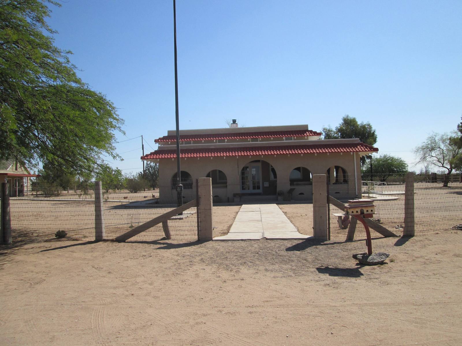
GoffsEinbierbitte / CC BY-SA 3.0 via Wikimedia Commons
πŸ›οΈHistorical

Goffs

Part ofRoute 66 & the Mojave Heartland
On this driveRoute 66 in California: Needles to the Pacific

A near-ghost on the pre-1931 Route 66 alignment, keeper of a 1914 desert schoolhouse and a WWII Army camp.

⏱
Duration
An hour or two for the schoolhouse, the outdoor exhibits, and the archive grounds.
🎟
Admission
Free; the schoolhouse museum keeps limited days and seasonal hours.
πŸ“…
Best Season
Fall through spring; the site closes in the summer heat.
πŸ’‘
Fun Fact
The Goffs Schoolhouse is the only one-room schoolhouse in southern California listed on the National Register of Historic Places.

The Story

Goffs is a near-ghost on the oldest surviving stretch of the road. Until 1931 the National Old Trails Road, Route 66's direct ancestor, swung north through Goffs between Needles and the west; the 1931 realignment straightened the route south through Essex and Amboy and left Goffs stranded off the highway, a fate Interstate 40 later sealed for good. What remains is one of the most complete early-desert townsites anywhere. Its centerpiece is the Goffs Schoolhouse, a Mission-style one-room school the county built in 1914 for the children of railroad and ranch families scattered across a thousand square miles. For twenty-three years it doubled as the community's hall and library branch, hosting dances under its bell, until it closed in 1937 when a new school opened at Essex. During World War II the building served as a canteen for Camp Goffs, part of the vast Desert Training Center where the Army rehearsed for North Africa; Goffs was a railhead and supply point, and for a few months in 1942 the headquarters of the 7th Infantry Division. After the war the schoolhouse decayed toward ruin. Dennis and Jo Ann Casebier bought the property in 1990, founded the Mojave Desert Heritage and Cultural Association, and restored the school to its 1914 form entirely on private donations; it reached the National Register in 2001. The grounds now hold a working stamp mill, a century-old boxcar, and the Casebier archive, the deepest collection of Mojave history gathered in one place.

Visitor Info

⏱
Time Needed
An hour or two for the schoolhouse, the outdoor exhibits, and the archive grounds.
🎟
Admission
Free; the schoolhouse museum keeps limited days and seasonal hours.
πŸ“…
Best Season
Fall through spring; the site closes in the summer heat.
πŸ›£οΈ
Highway
Historic Route 66 (National Old Trails Road)

On the Map

Stories

A story featuring this place

Go deeper into the history and character of this stop

History
The Alphabet in the Desert
JoAnn Β· 6 min read

Nearby

The closest stops worth working into your route

cultural27 mi away
Needles
Route 66's Colorado River gateway into California, anchored by El Garces, the Harvey House that Mojave hands built.
architectural34 mi away
Kelso Depot
A grand 1920s Mission Revival rail depot standing alone in the deep Mojave, now the preserve's visitor center.
natural37 mi away
Kelso Dunes
The Mojave's largest dune field, and one of the few places on Earth where the sand booms underfoot.
cultural39 mi away
Oatman
A gold camp in the Black Mountains that outlived its mines, now run by wild burros β€” reached by the wildest switchbacks left on Route 66, and named for a history worth telling straight.
roadside46 mi away
Amboy
Roy's Motel and Cafe and its 1959 neon boomerang, the most photographed lonely stop on Route 66.
geological49 mi away
Amboy Crater
A near-perfect black cinder cone off Route 66, one of California's youngest volcanoes and a National Natural Landmark.

Historical markers nearby

Roadside plaques and monuments within a short detour

Marker24 mi away
Von Schmidt State Boundary Monument
Nevada
Marker27 mi away
Goodsprings Mining District 1856-1957
Nevada
Marker27 mi away
The Camel Corps
Nevada
Marker27 mi away
The GarcΓ©s Expedition
Nevada