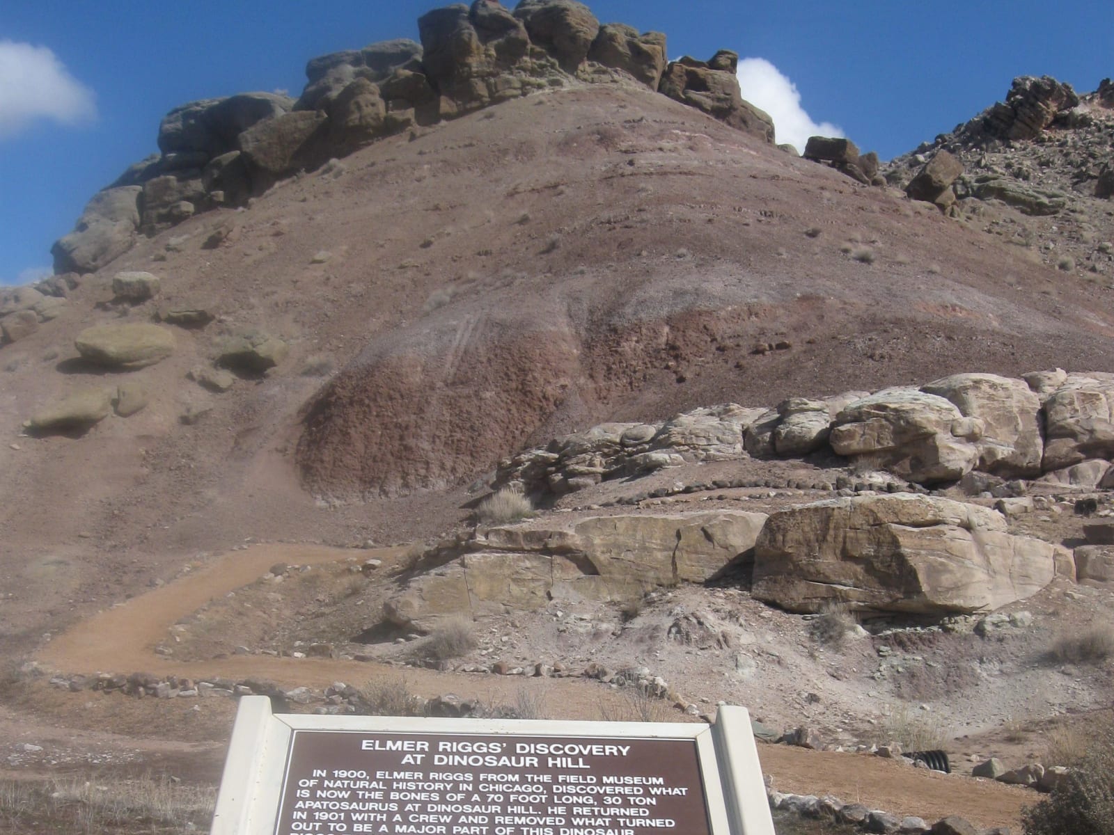
 Librarianhat / CC0 via Wikimedia Commons
The Story
In 1900 a Grand Junction dentist named Bradbury wrote to the Field Columbian Museum in Chicago that ranchers in the Grand Valley had been picking up big bones for years. The museum sent its first paleontologist, Elmer Riggs, who arrived by train that spring. On July 4, 1900, his assistant, H. William Menke, found the first bones of an enormous sauropod on a low hill in what is now the Redlands of Grand Junction. Riggs named it Brachiosaurus altithorax in 1903 and called it the largest dinosaur then known; the hill has been Riggs Hill ever since, its quarry marked by a plaque at the top of a short trail.
At the end of that season Riggs found another skeleton in the banded clays of a hill south of Fruita, and his crew dug it out in 1901: about two-thirds of a sauropod then called Brontosaurus, mounted at the Field Museum in 1908. Some of its ribs had broken and healed while the animal lived, an early instance of reading injury and disease in dinosaur bones. From these finds Riggs argued that Brontosaurus was the same animal as Marsh's earlier Apatosaurus, and that sauropods were land animals rather than wallowers in swamps, a view most scientists ignored for seventy years.
The rock is the Morrison Formation, the same layer that runs from Dinosaur Ridge near Denver into Utah and Wyoming. A one-mile loop trail climbs about 150 feet around Dinosaur Hill past the quarry, a plaque and a cast of a femur, with the Book Cliffs and Grand Mesa in view; the land is part of the Bureau of Land Management's McInnis Canyons National Conservation Area.
Visitor Info
On the Map
Nearby
The closest stops worth working into your route