Home / Colorado / The Western Slope & the Northwest / Grand Mesa
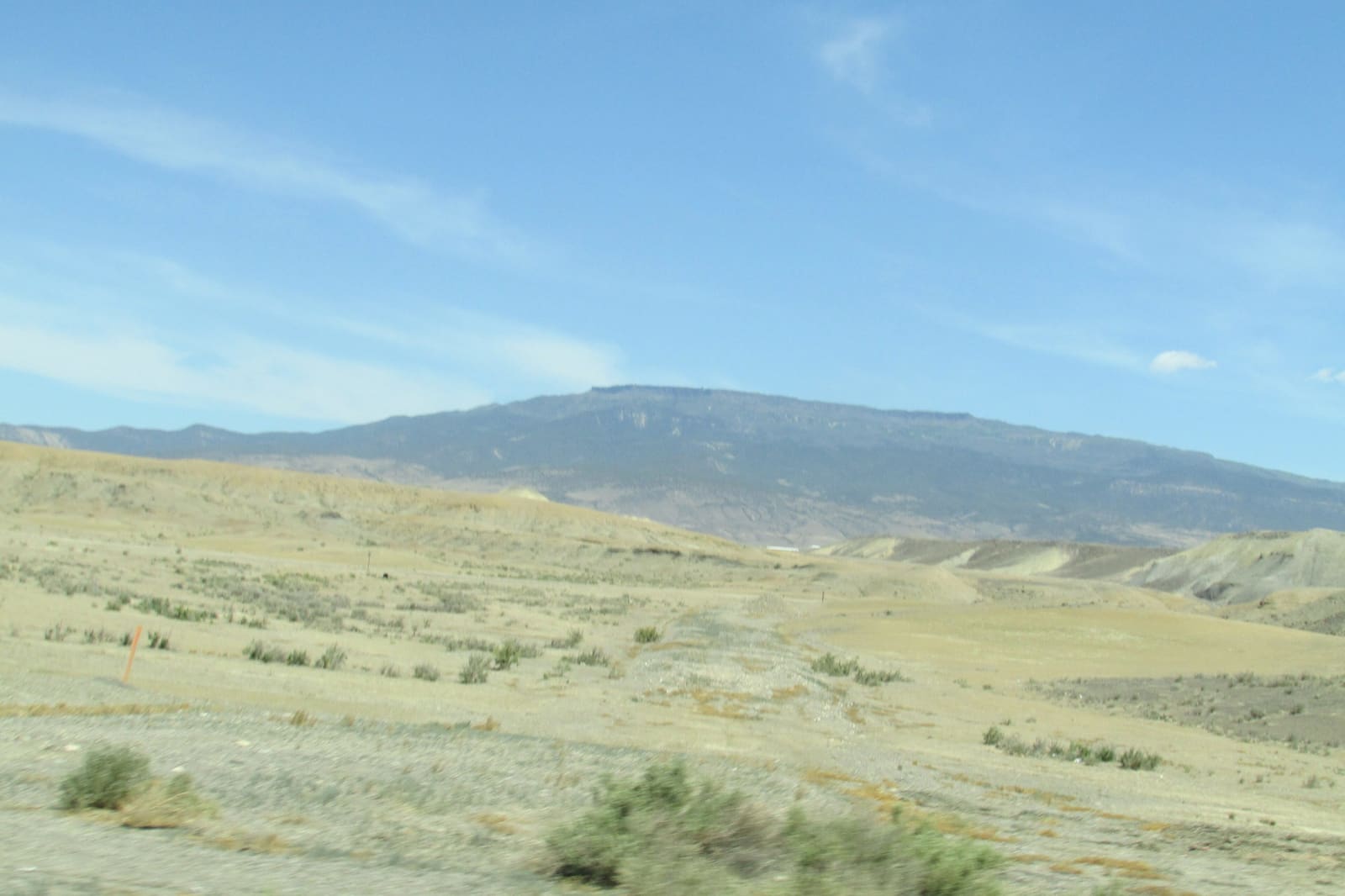
The long flat top of Grand Mesa above the dry valley floorChris Light / CC BY-SA 4.0 via Wikimedia Commons
🏜️Geological

Grand Mesa

Part ofThe Western Slope & the Northwest

An old valley floor turned into a mountaintop by lava, holding more than three hundred lakes, with a road up its western cliffs built by veterans of the CCC.

Scenic DrivingPhotographySummerVolcanicFallFree
⏱
Duration
Half a day.
🎟
Admission
Free.
📅
Best Season
Summer and fall; winter for skiing and snowmobiling.

The Story

Grand Mesa rises between the Colorado and the Gunnison rivers east of Grand Junction, a plateau of some 500 square miles usually called the largest flat-topped mountain in the world. Its top is basalt. About ten million years ago lava ran down what was then a valley and filled it; the hard rock protected what lay beneath while the softer sediments around it wore away, until the old valley floor stood as a tableland thousands of feet above the country around it. Geologists call it topographic inversion, and rounded river cobbles under the basalt give it away.

The top of the mesa holds more than three hundred lakes, many of them dammed or enlarged as reservoirs that send water down to the orchards and towns of the valleys. The Grand Mesa Scenic and Historic Byway, State Highway 65, climbs from Interstate 70 through Plateau Creek's canyon and across the top to Cedaredge, about sixty-three miles, past the Grand Mesa Visitor Center near the lakes.

A side road runs west along the top to Land's End, where the mesa breaks off in cliffs some 6,000 feet above the Grand Valley. The road up those cliffs from the valley floor was built in 1933 and 1934 by about two hundred veterans enrolled in the Civilian Conservation Corps, working from a tent camp at the foot of the mountain, and was long known as the Veterans' Road; Forest Service crews finished the steepest section in 1935. In 1936 and 1937 the Works Progress Administration built the stone observatory at the rim from the mesa's own basalt.

Visitor Info

⏱
Time Needed
Half a day.
🎟
Admission
Free.
📅
Best Season
Summer and fall; winter for skiing and snowmobiling.
🛣️
Highway
CO-65

On the Map

Nearby

The closest stops worth working into your route

natural35 mi away
Black Canyon of the Gunnison National Park
Two men on a rubber air mattress floated through in 1901 to prove a tunnel could be built, past a cliff that drops some 2,250 feet to the river.
historical40 mi away
Colorado National Monument
A homemade road of fifty-four switchbacks, then the CCC's Rim Rock Drive, nineteen years in the building and finished in 1950.
geological41 mi away
Dinosaur Hill
Where a Chicago museum's crew dug two-thirds of a sauropod in 1901, a few miles from the hill where they had found the first Brachiosaurus the summer before.
cultural42 mi away
Ute Indian Museum
On the farm of Ouray and Chipeta: a spring the DAR roofed with a concrete tipi in 1924, Chipeta's grave of 1925, and a museum rebuilt with the three Ute tribes in 2017.
natural56 mi away
Maroon Bells
Two fourteeners of crumbling red mudstone, called the Deadly Bells since eight people died on them in 1965, and reachable in summer only by reservation.
natural57 mi away
Glenwood Canyon
Interstate 70 threaded through on viaducts in 1992, buried by debris flows off a burn scar in 2021, with Hanging Lake on a permit above it.