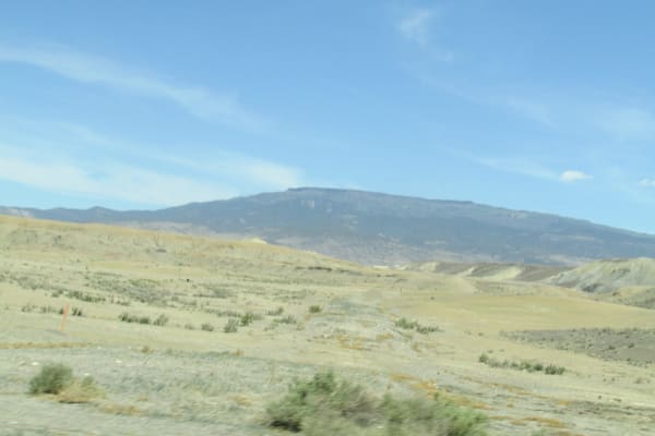
Low sun on the eroded face of the Book Cliffs above the Grand Valley near Grand Junction
David Zhang / CC BY-SA 2.0 via Wikimedia Commons
Colorado · Region

The Western Slope & the Northwest

The plowed racetrack at White River and the removal of the Utes, the canyon John Otto talked into a monument, and the dam that was never built at Echo Park.

5 places to explore

This was the heart of the reservation the 1868 treaty promised the Nuuchiu. At the White River Agency the agent Nathan Meeker set out to make the Utes into farmers, and in September 1879 he had their horse-racing ground plowed. Troops came south from Fort Steele in Wyoming, and on September 29 Ute warriors stopped them at Milk Creek, killing Major Thomas Thornburgh and twelve others; the same day they killed Meeker and ten agency employees and took five women and children captive. The demand that the Utes must go carried Congress, and in 1881 the White River and Uncompahgre bands were marched to reservations in Utah.

Grand Junction was laid out within weeks of their removal, in the fall of 1881, where the Gunnison meets the Colorado, which was called the Grand River until 1921. West of town a trail builder named John Otto lived among the sandstone canyons and wrote letters until they became Colorado National Monument in 1911, and he was its first custodian, paid a dollar a month.

In the far northwest the Yampa and the Green meet at Echo Park inside Dinosaur National Monument, where the Bureau of Reclamation planned a dam in the 1950s. Conservationists fought it in Congress and won in 1956, a victory bought partly by giving up Glen Canyon downstream, and the two rivers still run free through their canyons.

What to See in The Western Slope & the Northwest

5 places across the region, grouped by what they are.

Geology & Rock Formations
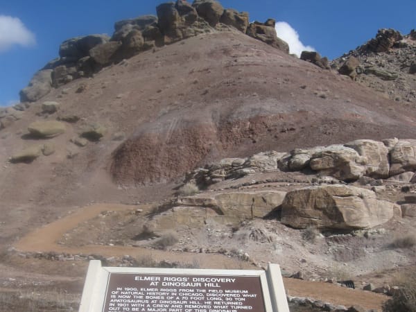
The capped slope of Dinosaur Hill near Fruita, with the trail sign about Elmer Riggs's dig in the foreground

Dinosaur Hill

Fruita

Where a Chicago museum's crew dug two-thirds of a sauropod in 1901, a few miles from the hill where they had found the first Brachiosaurus the summer before.

View details →
The long flat top of Grand Mesa above the dry valley floor

Grand Mesa

Cedaredge

An old valley floor turned into a mountaintop by lava, holding more than three hundred lakes, with a road up its western cliffs built by veterans of the CCC.

View details →

Natural Areas

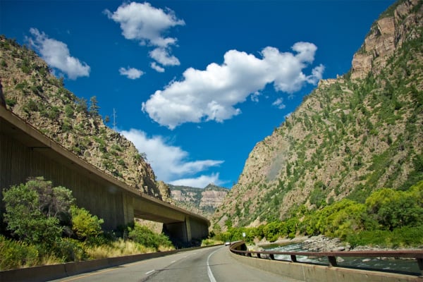
Interstate 70 on its viaduct through the walls of Glenwood Canyon

Glenwood Canyon

Glenwood Springs

Interstate 70 threaded through on viaducts in 1992, buried by debris flows off a burn scar in 2021, with Hanging Lake on a permit above it.

View details →

Historic Sites

Red sandstone canyons and monoliths of Colorado National Monument seen from Rim Rock Drive

Colorado National Monument

Grand Junction

A homemade road of fifty-four switchbacks, then the CCC's Rim Rock Drive, nineteen years in the building and finished in 1950.

View details →

Towns & Gateways

Canyon Pintado

Rangely

Fremont figures and Ute horses painted and pecked along fifteen miles of Highway 139, named the Painted Canyon by Escalante in 1776.

View details →

Scenic Drives through The Western Slope & the Northwest

Scenic Byway

CO-82: Twin Lakes over Independence Pass to Glenwood Springs

Over the Continental Divide at 12,095 feet on the 1881 toll-road route, down the Roaring Fork through Aspen to the canyon at Glenwood Springs. Closed half the year.

79 mi · 2.5 hrs

Stories from The Western Slope & the Northwest

Nature

The Big-River Fish

Four fish found nowhere but the Colorado River system were pushed to the edge by dams, diversions and introduced predators. Since 1988 a partnership of states, water users and the federal government has been trying to bring them back.

7 min read

The Western Slope & the Northwest rewards the unhurried. Pick a base, fan out, and let the country between the headline stops surprise you.

← Explore more of Open Road Guide