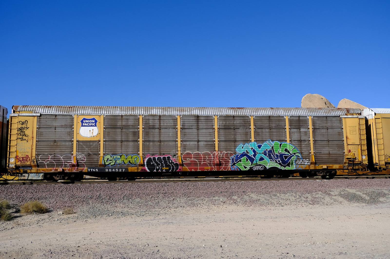
 siamesepuppy / CC BY 2.0 via Wikimedia Commons
The Story
Cajon Pass is the doorway, and the fault made it. The San Andreas runs straight through here, grinding the gap between the San Gabriel Mountains on the west and the San Bernardinos on the east, and the pass sits at 3,777 feet. Everything that has ever moved between the Mojave and the Los Angeles Basin has used it. The Maara'yam, the Serrano, crossed it seasonally between desert and coast long before anyone wrote the route down. It carried a branch of the Old Spanish Trail, then the wagon road Mormon settlers took south from Salt Lake in 1851 to found San Bernardino. The California Southern pushed rails through in the 1880s, reaching Barstow in 1885 and completing a through line to the coast; today three sets of tracks thread the canyon, and the grade is steep enough that railroaders have watched it warily for a century. The first automobile road came in 1914, and in 1926 it was signed as Route 66. For westbound drivers this was the arrival scene, the last climb after two thousand miles, and then the long tip over the rim toward orange groves and sea air. It was also a checkpoint: during the Depression, authorities screened arrivals at Blue Cut, down where the fault slices visibly across the canyon, sorting who would be allowed to go on. Below the pass the road drops into San Bernardino, past the concrete teepees of the Wigwam Motel and the corner where the first McDonald's opened. Blue Cut is still the place to stand and watch freight climb.
Visitor Info
On the Map
A story featuring this place
Go deeper into the history and character of this stop
Nearby
The closest stops worth working into your route
Historical markers nearby
Roadside plaques and monuments within a short detour