 Scottthezombie / CC BY-SA 3.0 via Wikimedia Commons
The Story
Arthur Gregory Sr. grew oranges down in Redlands and needed boxes for them, so he set a sawmill up here at Houston Flat and cut his own crate stock for the Orange Blossom label. What he noticed while he was at it was that the water ran the wrong way. The east and west forks of Houston Creek drained north into the Mojave River system and out into the desert, which from the mountain's point of view was waste.
This is the third dam in these mountains built by the citrus economy, and the only one meant to keep the water where it fell. Gregory helped organize the Crest Forest County Water District, which existed in part to make the scheme eligible for federal money, and work began in 1937 under a Works Progress Administration grant. The job was nearly done in March 1938 when the federal funds ran out, and Gregory lent the district the remainder himself. The final bill came to about $225,000, of which $160,000 was federal.
The dam was tested at once. Engineers had reckoned on three years to fill the lake. The rains that March filled it in three days. A road over the dam, now Lake Drive, closed the project out in January 1939.
Then the water business turned around. Crestline bought Lake Gregory water for domestic use through the 1940s and kept the district solvent that way, and in the 1970s it began buying from a state-created agency instead. The district, having lost its only customer, finally levied a tax it had held in reserve since 1935. Residents were angry enough about that to vote the lake over to San Bernardino County in 1977, and that is how the reservoir became a park.
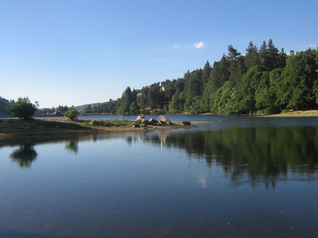
It is a small lake at about forty-five hundred feet with a trail all the way round, swimming and slides at the west end and fishing along the south shore. The dam is being buttressed after the state classed it high hazard, so the water sits somewhat lower than it once did.
Visitor Info
On the Map
Nearby
The closest stops worth working into your route
Historical markers nearby
Roadside plaques and monuments within a short detour