 Mike Souza / CC BY-SA 2.0 via Wikimedia Commons
The Story
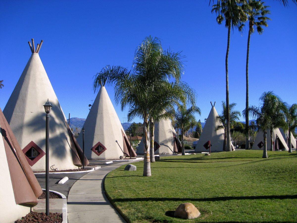
Nineteen white cones with red zigzag trim stand in rows on Foothill Boulevard, near where San Bernardino meets Rialto, and you can still sleep in one. Each is about thirty-two feet tall and twenty feet across at the base, built of plaster and concrete over sixteen wooden ribs, with a diamond-shaped window and a parking space at the door. Frank Redford started the idea in Kentucky in 1933, after seeing a teepee-shaped ice cream stand in Long Beach, and built seven Wigwam Villages around the country. This one, Number 7, went up in 1949 and was his last; he moved out from Kentucky and ran it himself. Three of the seven survive, two of them on Route 66, the other being Wigwam Village Number 6 at Holbrook in Arizona. The name was never accurate. A wigwam is not a teepee, and neither is a stuccoed cone on a motor court in California; Redford took Native imagery, which he also collected as artifacts, and sold it as roadside novelty to travelers who mostly never asked. That is worth saying plainly while admiring the craft of the thing, because both are true. The motel was added to the National Register in 2012 and has been refurbished since, and it turned up thinly disguised as the Cozy Cone in Pixar's Cars, which brought a new generation of headlights down Foothill after dark.
Visitor Info
On the Map
Nearby
The closest stops worth working into your route
Historical markers nearby
Roadside plaques and monuments within a short detour