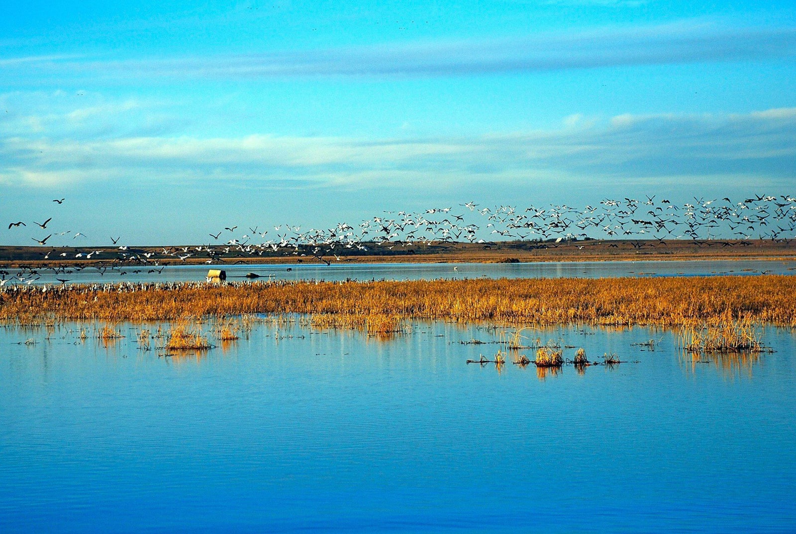
A flock of birds lifts above golden marsh grass and blue water at Cheyenne Bottoms.
U.S. Department of Transportation (NARA) / public domain via Wikimedia Commons
Kansas · Region

Cheyenne Bottoms & the Great Bend

Cheyenne Bottoms' shorebird pools, Quivira's salt marsh and whooping cranes, Fort Larned on the Pawnee Fork, and the Wichita towns Coronado called Quivira.

7 places to explore

At Great Bend the Arkansas River reaches the northern point of its long bend across Kansas, and on either side of it lie two wetlands of global importance to migrating birds. Cheyenne Bottoms, northeast of town, is a 41,000-acre natural sink that the state has diked into shallow pools. Quivira National Wildlife Refuge, to the south in Stafford County, is an inland salt marsh fed by salty groundwater. Both are listed as Wetlands of International Importance, and the Wetlands and Wildlife National Scenic Byway links them in 77 miles.

Long before the marshes had names on a map, the ancestors of the Wichita people lived here in towns of grass lodges near present Lyons, the province Coronado's men called Quivira in 1541. Later the Santa Fe Trail followed the river past Pawnee Rock, the trail's halfway point, to Fort Larned on the Pawnee Fork, which was both a garrison and the agency for the Cheyenne, Arapaho, Kiowa, Comanche and Plains Apache.

For a driver the region is a line and two loops. US-56 and the Santa Fe railroad run beside the river from Lyons through Great Bend and Larned to Kinsley, the town that put up a sign in 1939 calling itself Midway USA, halfway between New York and San Francisco. K-156, US-281 and K-4 reach the marshes.

What to See in Cheyenne Bottoms & the Great Bend

7 places across the region, grouped by what they are.

Natural Areas
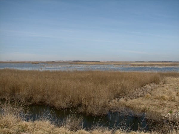
Brown reeds in the foreground and the shallow open water of Cheyenne Bottoms stretching to the horizon.

Cheyenne Bottoms and the Kansas Wetlands Education Center

Great Bend

A 41,000-acre natural sink northeast of Great Bend, diked into shallow pools where a large share of the continent's migrating shorebirds stop to feed on the mudflats each spring and fall.

View details →
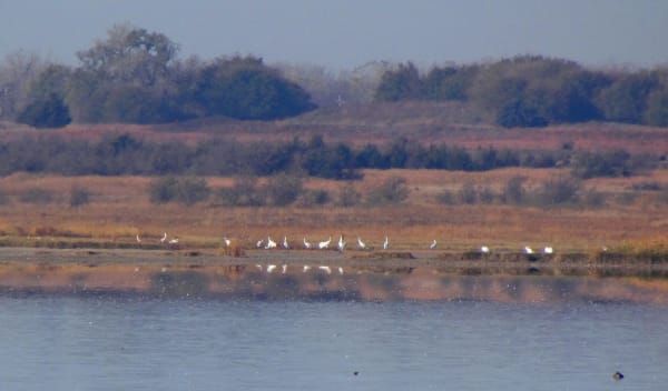
Whooping cranes stand in a line at the edge of the Big Salt Marsh, with autumn grass and trees beyond.

Quivira National Wildlife Refuge

Stafford

A rare inland salt marsh on Rattlesnake Creek, fed by salty groundwater, where whooping cranes stop on migration and the refuge's senior water right keeps coming up short.

View details →

Historic Sites

A small rough-stone house with white doors under a bare tree at the Barton County Historical Society village south of Great Bend.

Barton County Historical Society Museum and Village

Great Bend

A village of buildings brought in from around Barton County to a lot on US-281 just south of Great Bend, from an 1898 limestone church to a steel Lustron house of 1950.

View details →
Old bathtubs on a plank floor in a stone-walled room beneath the sidewalks of Ellinwood, part of the underground bathhouse and barbershop.

Ellinwood Underground

Ellinwood

The basement storefronts under the sidewalks of an 1880s German railroad town on US-56, where a harness maker padlocked his shop in 1920 and left everything behind.

View details →
An aerial view of the sandstone buildings of Fort Larned set around the square parade ground beside the wooded Pawnee Fork.

Fort Larned National Historic Site

Larned

Nine sandstone buildings of 1866-68 on the Pawnee Fork, a post that guarded the Santa Fe Trail and served as the agency where the Plains nations came for the annuities promised at Medicine Lodge.

View details →

Towns & Gateways

Coronado Quivira Museum

Lyons

Lyons's museum of Quivira, the country of grass-lodge towns where the Wichita people's ancestors lived when Coronado arrived in 1541, and of the Rice County newspapermen who connected the two.

View details →
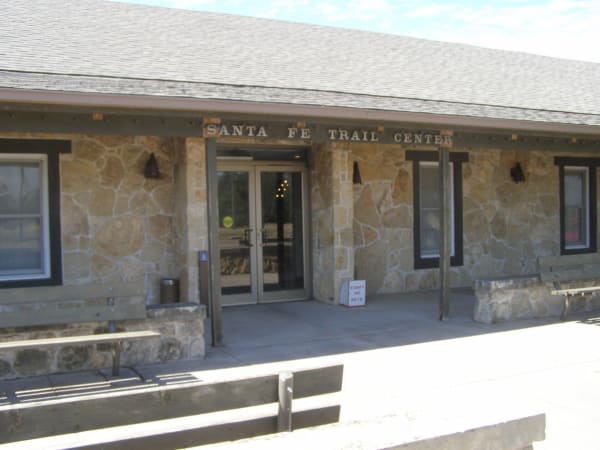
The stone front entrance of the Santa Fe Trail Center in Larned, its name lettered above the doors.

Santa Fe Trail Center

Larned

Pawnee County's museum and archive two miles west of Larned, ten buildings on ten acres that carry the story from the trail years into the town that grew up beside Fort Larned.

View details →

Scenic Drives through Cheyenne Bottoms & the Great Bend

Scenic Byway

The Santa Fe Trail: Council Grove to the Dodge City Ruts

About 240 miles of the Santa Fe Trail on US-56 and US-50, from the Osage council ground at Council Grove past Lost Springs, Lyons, Pawnee Rock and Fort Larned to Boot Hill and the ruts west of Dodge City.

240 mi · 5 hrs

Cheyenne Bottoms & the Great Bend rewards the unhurried. Pick a base, fan out, and let the country between the headline stops surprise you.

← Explore more of Open Road Guide