Dodge City & the Southwest
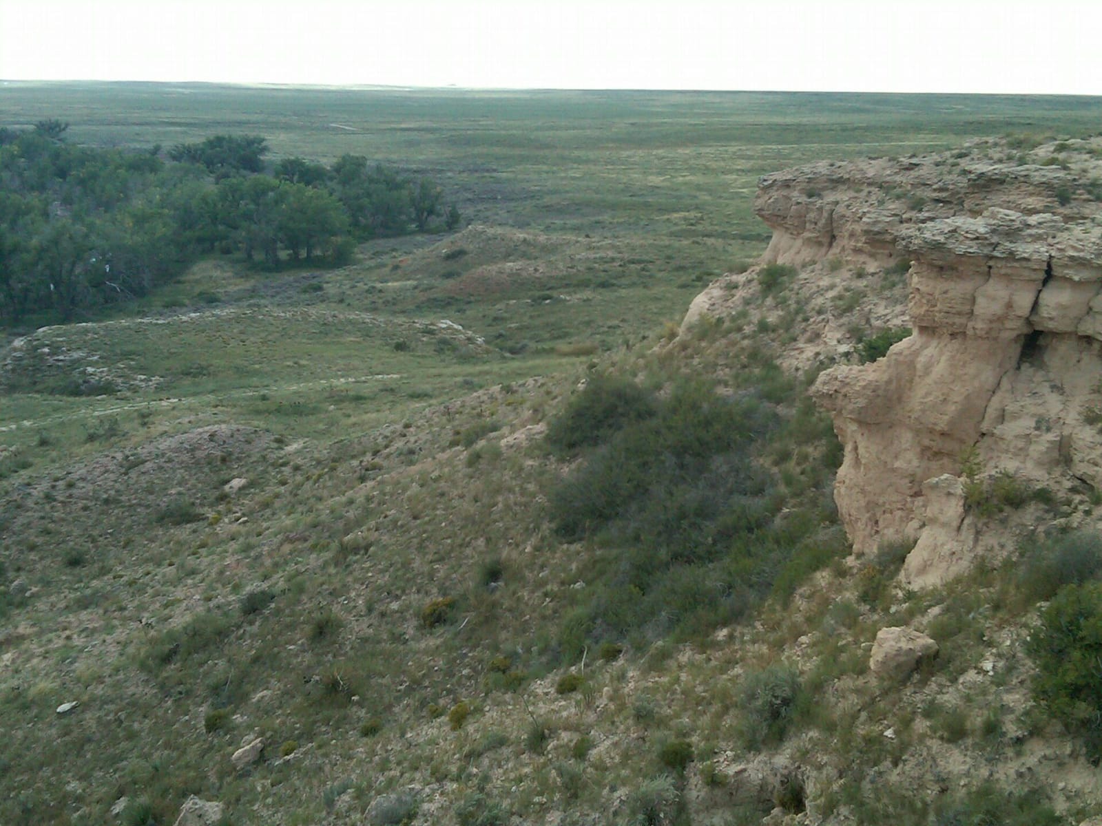
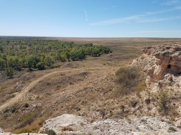
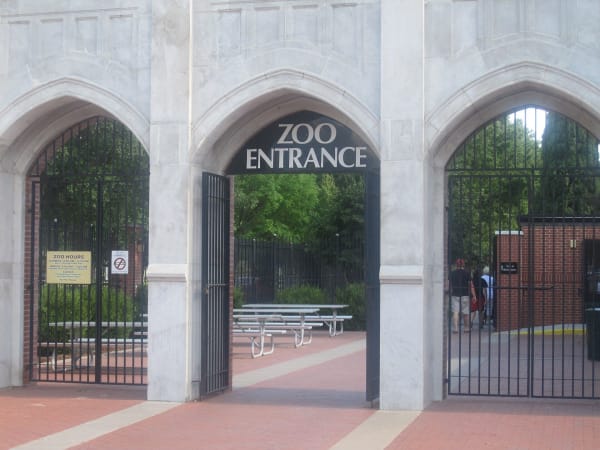
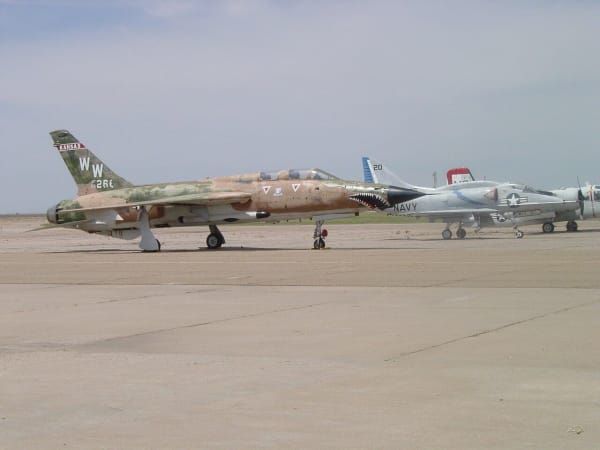
Boot Hill and the trail ruts west of Dodge, Point of Rocks on the Cimarron National Grassland, Liberal's bomber-field air museum and Garden City's zoo.
Dodge City sits on the 100th meridian, the line John Wesley Powell took in 1879 as the rough boundary of country where farming could count on rain. The Arkansas runs west from Dodge past Cimarron, Garden City and Lakin to Syracuse along US-50, and the Santa Fe Trail ran with it until the Cimarron Route struck off southwest across waterless country toward the Cimarron River and the corner of the state at Elkhart.
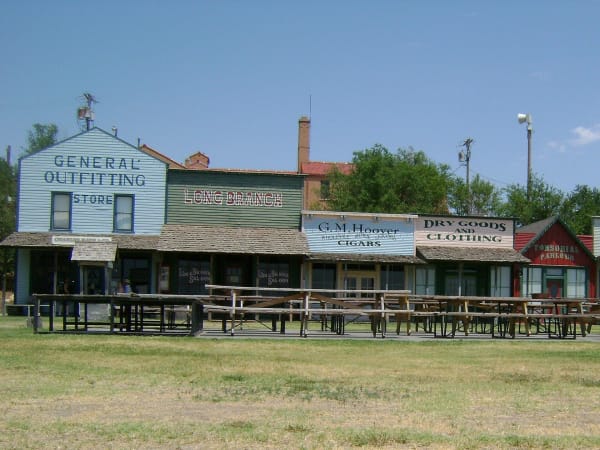
This was the hunting country of the Kiowa, Comanche, Plains Apache, Cheyenne and Arapaho, and once the railroads came, hired hunters shot the bison herds down from millions to fewer than 500. Coronado's party is thought to have crossed the Arkansas near Ford in June 1541. Dodge City was laid out in 1872 at the west edge of the Fort Dodge military reservation and lived on hides, then cattle; nine miles west, the trail's ruts still cross the grass.
The southwest corner suffered the worst of the Dust Bowl, and the government bought out Morton County's broken farms and restored them as the Cimarron National Grassland, the largest public land in Kansas. Today it is feedlot, packing plant and gas field country: Garden City had the first commercial feed yard in the Midwest, and Stevens County sits on the center of the Hugoton gas field.
What to See in Dodge City & the Southwest
6 places across the region, grouped by what they are.
Natural Areas
Historic Sites
Attractions
Scenic Drives through Dodge City & the Southwest
Dodge City & the Southwest rewards the unhurried. Pick a base, fan out, and let the country between the headline stops surprise you.
← Explore more of Open Road Guide