The Red Hills & Medicine Lodge
Red gypsum-capped mesas, the 1867 treaty ground at Medicine Lodge, Carry Nation's house, Greensburg's Big Well and Meade's once-artesian springs.
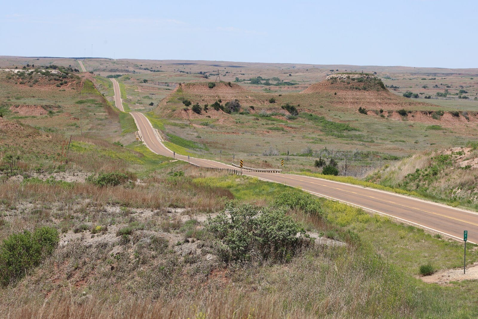
South of the Arkansas the plains break into red mesas and buttes, the Gyp Hills of Barber, Comanche and Clark counties. The rock is Permian, laid down in the remnants of an inland sea about 260 million years ago, stained by iron oxide and capped with gypsum that holds up the hilltops and dissolves into caves below. Of the 528 caves cataloged in Kansas, 245 are in Comanche and Barber counties.
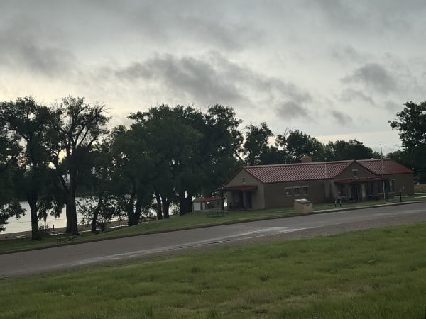
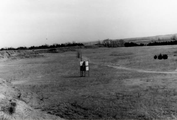
This was hunting country for the Kiowa, Comanche, Plains Apache, Cheyenne and Arapaho, and in October 1867 those five nations met the government's Peace Commission where Elm Creek joins the Medicine River, just below the town of Medicine Lodge. The treaties signed there gave up most of their land for reservations in Indian Territory, and when Congress later broke them, the Kiowa leader Lone Wolf took the case to the Supreme Court and lost.
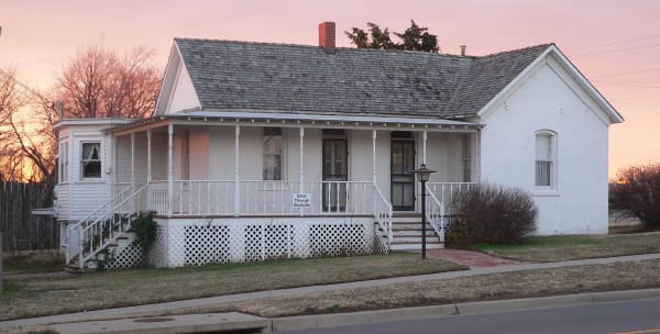
US-160 is the spine of the region. From Medicine Lodge, where Carry A. Nation's house stands on the highway, the Gypsum Hills Scenic Byway runs 42 miles west toward Coldwater, and a 22-mile gravel loop leaves it for the middle of the hills. North on US-54, Greensburg rebuilt itself around its hand-dug well after the tornado of 2007. Southwest, at Meade, the hills give way to the High Plains.
What to See in The Red Hills & Medicine Lodge
7 places across the region, grouped by what they are.
Geology & Rock Formations
Natural Areas
Historic Sites
Towns & Gateways
Architecture
Attractions
The Red Hills & Medicine Lodge rewards the unhurried. Pick a base, fan out, and let the country between the headline stops surprise you.
← Explore more of Open Road Guide