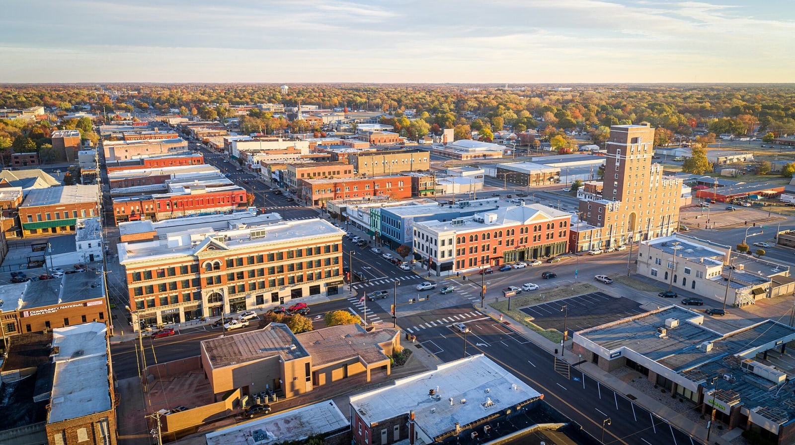
The Little Balkans & the Southeast
Fort Scott and Mine Creek on the old border, Big Brutus in the strip pits, the Amazon Army's coal camps, Route 66's rainbow bridge and the Ingalls claim.
Southeast Kansas was Osage country. An 1865 treaty left the Osage Nation (Wazhazhe) 4.8 million acres here, the Osage Diminished Reserve, and within a few years settlers were squatting on it by the thousands. By 1871 the Osage had been removed to Indian Territory. The Little House on the Prairie Museum southwest of Independence stands on one of those squatters' claims, and it is the place to start with whose land this was.
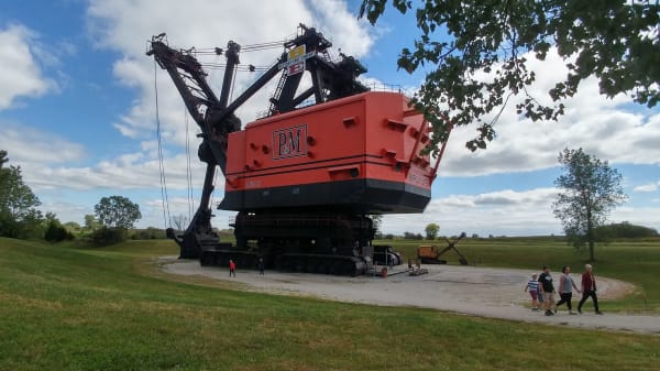
For a driver the region splits along its roads. US-69 runs up the old Missouri border past the Mine Creek battlefield, where Union cavalry broke Sterling Price's army in October 1864, to Fort Scott, where the 1st Kansas Colored Infantry was mustered in January 1863. In the far southeast corner, Crawford and Cherokee counties are coal and zinc country, settled by miners from Italy, Austria, Germany, France, Belgium, Britain and the lands that became Yugoslavia, a mix that gave the field its name, the Little Balkans. Franklin's museum keeps the story of the Amazon Army, the miners' wives who shut the mines in December 1921, and Big Brutus, a 16-story electric shovel, stands among the strip pits near West Mineral.
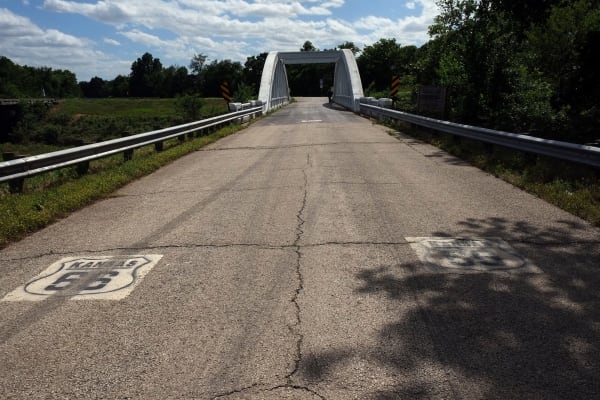
Kansas has only about 13 miles of Route 66, across that same corner through Galena, Riverton and Baxter Springs, and the last Marsh rainbow arch bridge on the old road still crosses Brush Creek there.
What to See in The Little Balkans & the Southeast
8 places across the region, grouped by what they are.
Historic Sites
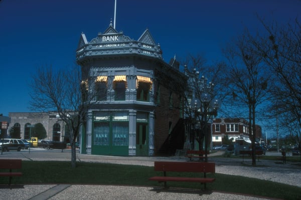

Towns & Gateways
Industry & Mining
Roadside Stops
The Little Balkans & the Southeast rewards the unhurried. Pick a base, fan out, and let the country between the headline stops surprise you.
← Explore more of Open Road Guide