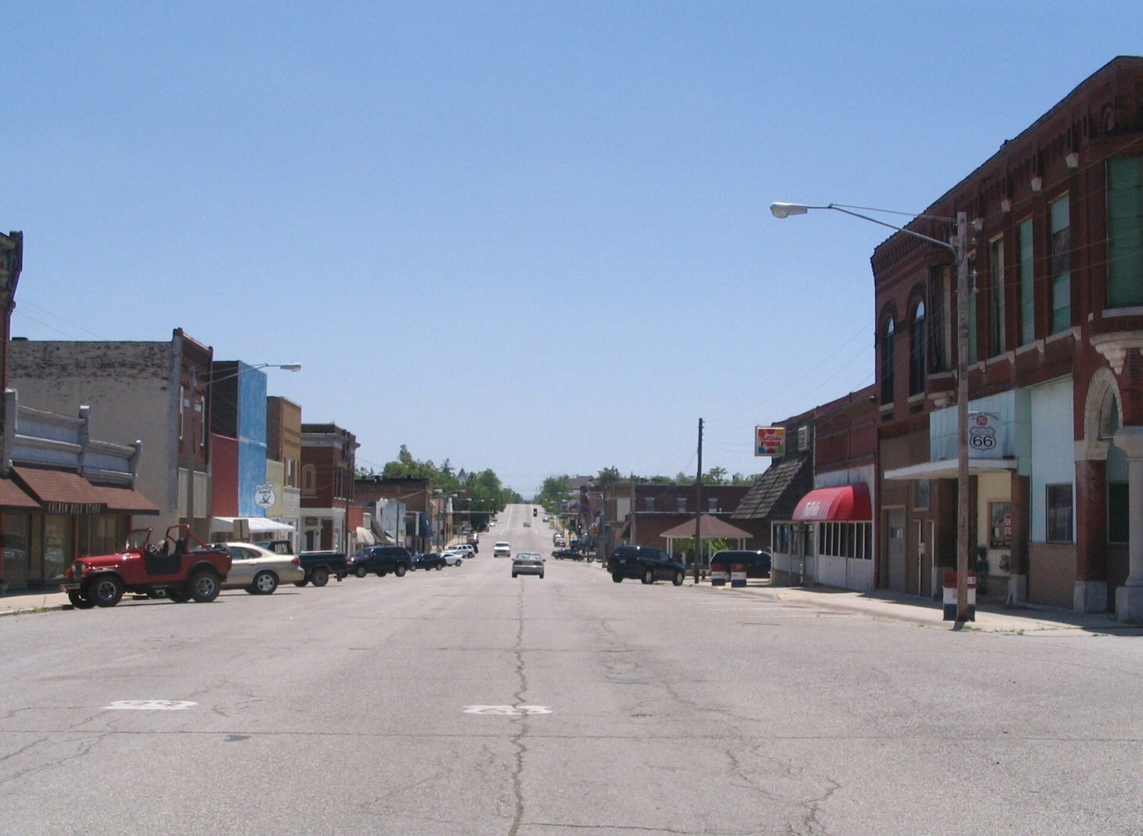
The oldest rock at the surface of Kansas comes up in the state's far southeastern corner, in 55 square miles of Cherokee County east of the Spring River. It is Mississippian limestone, laid down in a shallow sea about 345 million years ago and banded with chert. Geologists count this corner as part of the Ozark Plateau, and it looks the part: thin rocky soil, oak and hickory on the slopes, caves, springs and clear gravel-bedded creeks. Galena and Baxter Springs sit on its western edge.
How the ore formed
The ore under those towns formed in stages. After the Mississippian sea withdrew, the limestone lay exposed, and water dissolved the softer rock from around the harder chert. In places caves opened; in many more the beds collapsed into a rubble of broken chert, as porous as a gravel pile. The sea returned in the Pennsylvanian and covered it all with the shales of the Cherokee Group. Probably millions of years later, hot, metal-bearing solutions rose from deep in the earth along faults. The shale cap stopped them, so they spread sideways through the broken chert and left their metals behind as galena, which is lead sulfide, and sphalerite, which is zinc sulfide and five times as common here.
A poor man's district
Zinc ore was found near Galena in 1870, and a century of mining in the Kansas part of the Tri-State district followed. Zinc took off after the railroads arrived and a coal-fired zinc smelter went up at Weir City in 1873, burning coal from the mines nearby. Around Galena the ore lay shallow enough for a few men with hand tools and a hoist to work a claim, and the town became known as a poor man's mining district. Elsewhere miners worked underground, in rooms 25 to 100 feet high between pillars 20 to 50 feet thick. From 1850 to 1950 the district produced half of the nation's zinc and a tenth of its lead.
After the pumps stopped
The same porous rock that held the ore held water. In 1947 pumps lifted more than 36 million gallons a day out of the district's mines. When the last Kansas mine closed in 1970, the pumping stopped. The tunnels flooded, and water reacting with the pyrite and marcasite in the walls turned acid and carried metals into wells, springs and creeks. Rain leached lead, zinc and cadmium from tailings piles covering 4,000 acres, and the wind spread the dust. Robbing the pillars, the last phase of mining, caused much of the later subsidence, and as recently as 2009 part of an apartment building in Galena collapsed when a mine roof under the town gave way.
The Environmental Protection Agency listed Cherokee County as a Superfund site in September 1983. Galena's open shafts and collapses were filled in 1994 and 1995, and the soil in more than 600 yards was replaced. Treece, on the Oklahoma line beside Picher, was bought out in 2009 and dissolved as a city in 2012. To see the rock itself, go to Schermerhorn Park south of Galena, where the limestone stands in a bluff above Shoal Creek and a spring runs out of a cave that is closed to the public.