The Flint Hills
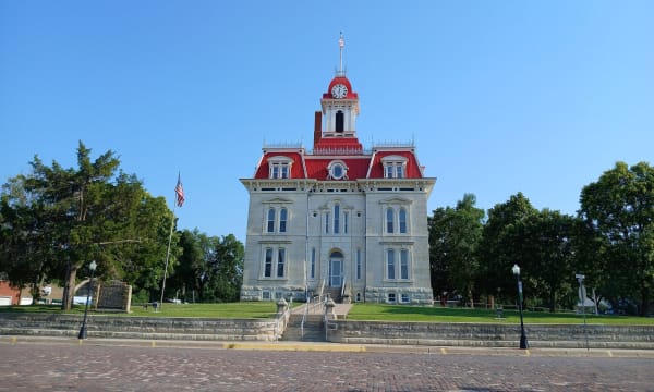
Unplowed tallgrass and spring burns, the Spring Hill ranch at Strong City, Konza's trails, the 1873 courthouse at Cottonwood Falls, and the Kaw Nation's own land.
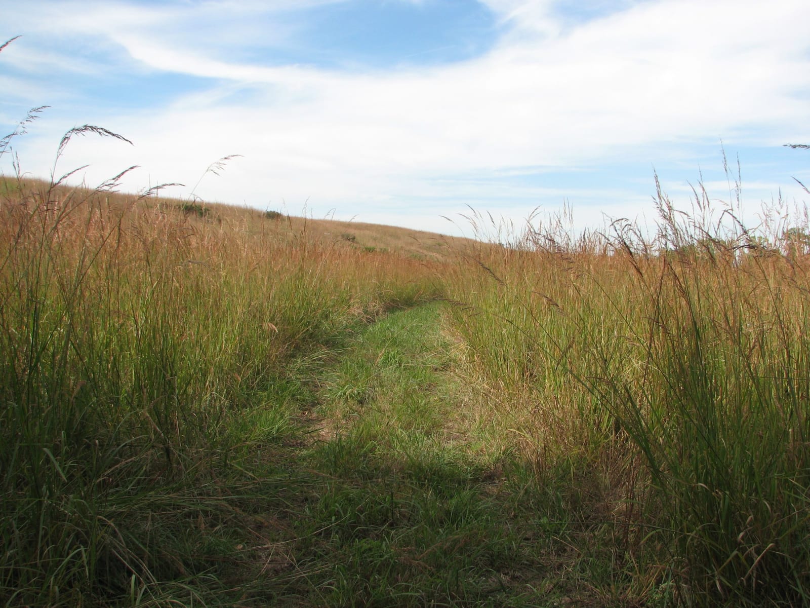
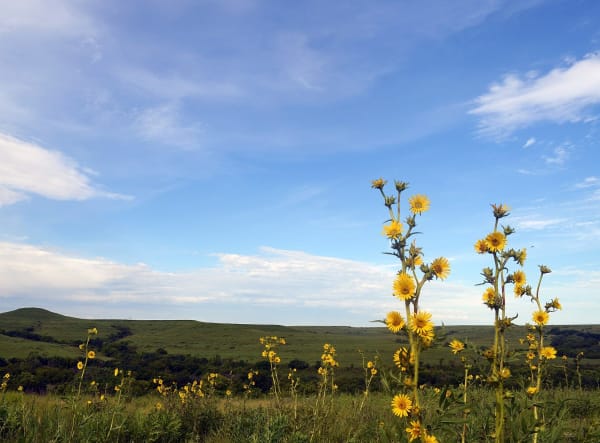
The Flint Hills are the grass that stayed. In a band running from near the Nebraska line into Oklahoma, limestone and chert sit so close to the surface that the plow never took hold, and the largest unplowed stretch of tallgrass prairie in North America survived as pasture. Ranchers have fattened cattle on the bluestem every summer since the 1880s, and the hills are still burned each spring, from late February through April, to keep the trees out and the grass coming back.
This was Kanza country, with Osage hunting ground reaching into it. The Kaw Nation's last Kansas reservation lay around Council Grove until the removal act of 1872, and the Nation now owns part of it again: Allegawaho Memorial Heritage Park, where the sacred red boulder Iⁿ'zhúje'waxóbe came home in 2024.
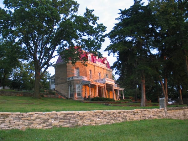
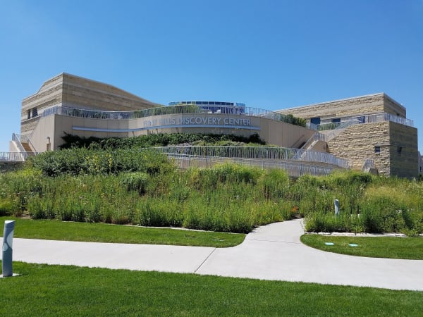
For a driver the region follows K-177 from north to south. The north end is Manhattan, with the Flint Hills Discovery Center downtown and the Konza Prairie trails a few miles south. In the middle, Council Grove holds the Kaw sites and the old Santa Fe Trail town. Below it the highway crosses Chase County, past the Tallgrass Prairie National Preserve at Strong City and the 1873 courthouse at Cottonwood Falls, then on through open ranch country toward Cassoday and the Butler County oil towns around El Dorado.
What to See in The Flint Hills
7 places across the region, grouped by what they are.
Natural Areas
Historic Sites
Towns & Gateways
Architecture
Industry & Mining
Scenic Drives through The Flint Hills
K-177: The Flint Hills Scenic Byway, Council Grove to Cassoday
About 48 miles on K-177 from Council Grove to Cassoday: the Kaw Nation's park, the tallgrass preserve at Strong City, the Cottonwood Falls courthouse, Bazaar's cattle trade and the Pioneer Bluffs ranch.
The Santa Fe Trail: Council Grove to the Dodge City Ruts
About 240 miles of the Santa Fe Trail on US-56 and US-50, from the Osage council ground at Council Grove past Lost Springs, Lyons, Pawnee Rock and Fort Larned to Boot Hill and the ruts west of Dodge City.
The Flint Hills rewards the unhurried. Pick a base, fan out, and let the country between the headline stops surprise you.
← Explore more of Open Road Guide