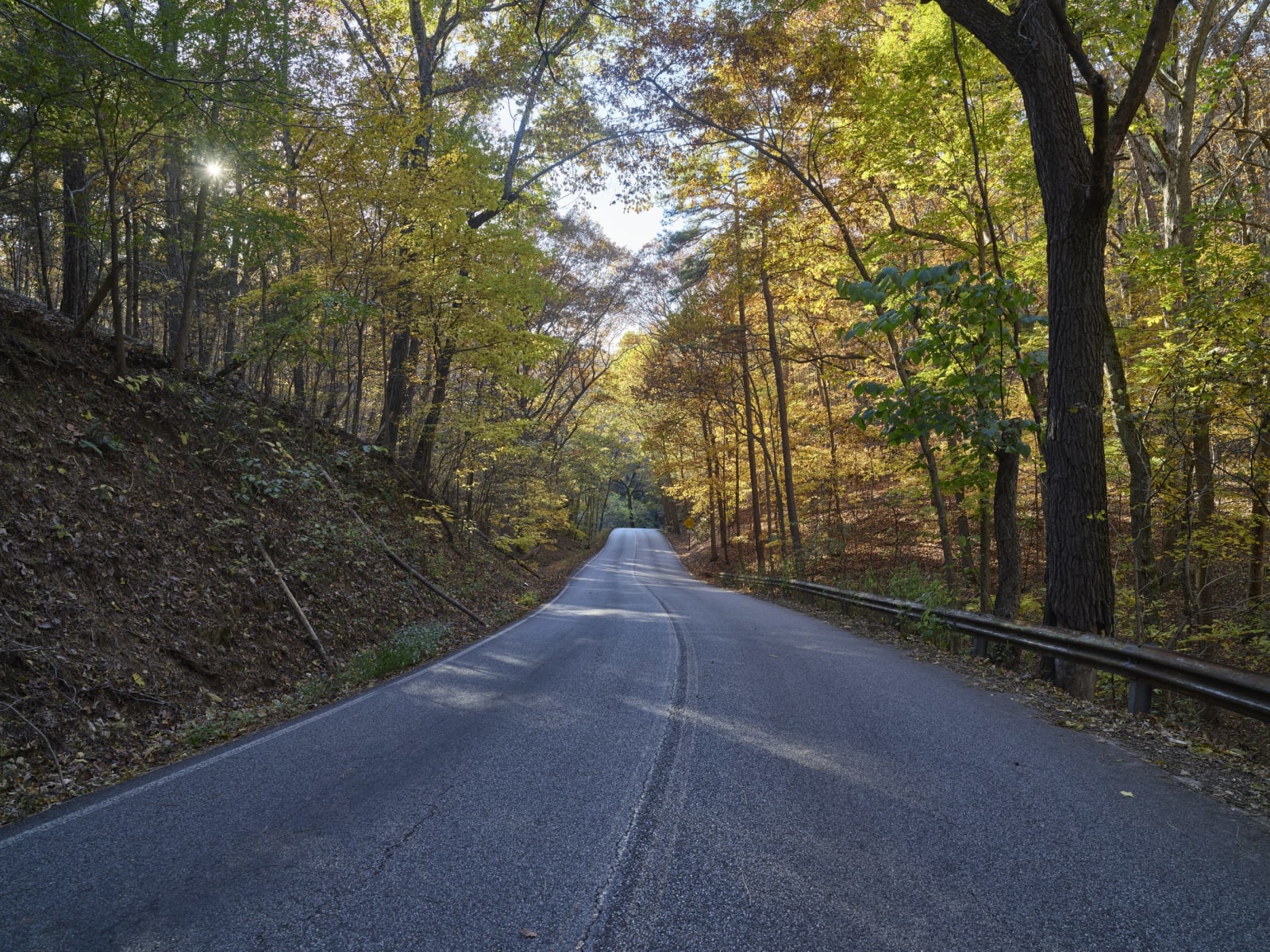
Carol M. Highsmith / public domain via the Library of Congress
A 7-Day Itinerary
Little Rock, Hot Springs, the Buffalo River and the Ozarks in 7 Days
A loop from Little Rock: the Old State House, Mosaic Templars and Central High, Hot Springs and Bathhouse Row, Scenic 7 to Lake Dardanelle and Jasper, Whitaker Point, Boxley Valley and Lost Valley, Eureka Springs, Pea Ridge and Bentonville, Devil's Den and Prairie Grove, and Fort Smith and Petit Jean.
7 days · 697 miles · best in spring & fall
Little Rock, AR → Little Rock, AR
Most people see Arkansas from I-40 or I-30. This loop takes seven days and about 700 miles, and it starts and ends in Little Rock: south to Hot Springs, north on Scenic 7 through the Ouachita and Ozark national forests, west across the Buffalo River country to Eureka Springs and Bentonville, then south through Devil's Den and Prairie Grove to Fort Smith and back east by way of Petit Jean.
Caddo confederations controlled the Hot Springs country from about A.D. 800, the Osage hunted northern Arkansas until they ceded it in 1825, and the Buffalo River valley was Cherokee treaty land from 1817 to 1828. The trip crosses the Trail of Tears at Lake Dardanelle, Pea Ridge, Fort Smith and Petit Jean. It also keeps the state's Black history in view and names it plainly: the enslaved people auctioned at the Old State House, the segregated bathhouses of Hot Springs, the Black community of Eureka Springs that disappeared, and the nine students who entered Central High in 1957 under the guard of federal troops.
The drive, day by day
Press play to run the whole route, drag to any mile, or jump straight to a day. Every stop links to its own page.
Day 1 · Little Rock: the Old State House, Mosaic Templars, Central High and the Capitol
Setting out from Little Rock, AR · first stop Eureka Springs Historic District
0 / 697
miles
1
Day 1
Little Rock: the Old State House, Mosaic Templars, Central High and the Capitol
3.5 mi · about 0.2 hrs driving · overnight in Little Rock
Start at the Old State House Museum on West Markham when it opens at 9. It is the oldest standing state capitol west of the Mississippi River. Before the Civil War the county rented space in its east wing, and current estimates are that 400 to 500 enslaved people were auctioned there. The secession convention met in the House chamber in May 1861, and in 1891 legislators debated the Separate Coach Law, the first of many segregationist laws in Arkansas. Drive a mile to the Mosaic Templars Cultural Center at 501 West Ninth Street. Two formerly enslaved men, John Edward Bush and Chester W. Keatts, founded the order in 1882, when white insurers refused Black customers equal treatment, and the center is Arkansas's first publicly funded museum of African American history and culture. Then go west to Little Rock Central High School National Historic Site. In September 1957 Governor Orval Faubus called out the National Guard, and on September 4 the soldiers turned away the Black students who tried to enter; Elizabeth Eckford, 15, walked up alone past a jeering crowd of more than 300. On September 25 the Little Rock Nine went in under the escort of about 1,000 paratroopers of the 101st Airborne Division, whom President Eisenhower had sent. The ranger program at 1 p.m. needs a reservation, and the school is still a working high school with no public access inside. Finish at the Arkansas State Capitol, which was begun in 1899 with 200 state convicts made available for labor. On its grounds stand a Confederate soldiers monument of 1905, a Confederate women's monument of 1913 and Testament: The Little Rock Nine Monument, dedicated in August 2005.
2
Day 2
Hot Springs: Bathhouse Row and Garvan Woodland Gardens
72.4 mi · about 1.7 hrs driving · overnight in Hot Springs
Take I-30 southwest and then US-70 to Hot Springs, about 55 miles and an hour. Hot Springs National Park began as a reservation: Congress set aside the springs on April 20, 1832, making it the oldest of the park units, forty years older than Yellowstone. The Encyclopedia of Arkansas says Caddo confederations controlled this country from about A.D. 800, and an 1818 treaty ended the Quapaw claim. Start at the Fordyce Bathhouse, the visitor center and museum since 1989. The baths were not open to everyone. After Reconstruction African Americans worked in the bathhouses but could not freely bathe in them, and the free government bathhouse was remodeled on a segregated plan in 1898. The Pythian Bathhouse, designed by W. T. Bailey of Tuskegee Institute, opened in December 1914 for Black patrons, and desegregation came in 1965. The Buckstaff Bathhouse opened on February 1, 1912, and the Park Service says it has operated continuously since; baths are walk-in. In the afternoon visit the Gangster Museum of America at 510 Central Avenue. Leo McLaughlin, elected mayor in 1926, ran an open town for about twenty years on a political machine marked by voter fraud, and after Winthrop Rockefeller took office in 1967 he ordered the State Police to stop illegal gambling. Then drive eight miles south to Garvan Woodland Gardens, 210 acres on Lake Hamilton, open daily from 9 to 6. Spend the night in Hot Springs.
3
Day 3
Scenic 7 to Lake Dardanelle and Jasper
149.2 mi · about 3.8 hrs driving · overnight in Jasper
Leave Hot Springs on AR-7 and follow it north through Jessieville. The Encyclopedia of Arkansas says the Arkadelphia-to-Harrison section was named the first Arkansas Scenic Byway in 1993, that the highway crosses eleven counties and runs more than 208 miles, and that its stretches through the Ouachita and Ozark National Forests carry a National Forest Scenic Byway designation. The Ouachita National Forest covers nearly 1.8 million acres in 12 Arkansas counties and two Oklahoma counties, the largest and oldest national forest in the southern United States. About 80 miles and two hours from Hot Springs, AR-7 reaches Russellville and Lake Dardanelle State Park. The Corps of Engineers finished the dam in 1964, but this stretch of river carried the forced removal of Native nations. Between late 1831 and 1859, groups of Cherokee, Choctaw, Muscogee (Creek), Seminole and Chickasaw people passed through or by Norristown, and parties on the southern route to Indian Territory crossed the river there to Dardanelle. The park is a certified Trail of Tears National Historic Trail site, and its visitor center in Russellville, open daily from 8 to 5, has exhibits on the removal. Then drive AR-7 north through Dover to Jasper, about 70 miles and under two hours, and stay there so that Whitaker Point is close in the morning.
4
Day 4
Whitaker Point, Boxley Valley and Lost Valley
102.6 mi · about 3.5 hrs driving · overnight in Eureka Springs
Drive AR-74 and AR-43 from Jasper to Boxley Valley, then take Cave Mountain Road, a steep gravel track of about six miles from Boxley, to the trailhead for Whitaker Point. The trail is the only designated hiking route in the Upper Buffalo Wilderness, which Congress created in 1974 and enlarged in 1984, and it runs about 2.7 miles out and back with 324 feet of climbing. It is unmarked, and there is no water or restroom. Allow two to three hours. Back in Boxley Valley, remember that the Osage hunted the Buffalo River country and that from 1817 to 1828 it was Cherokee treaty land, until the Cherokee were removed to Indian Territory. Settlers took up land about 1830, and the grist mill standing today has been on the National Register since 1974. Elk were gone from Arkansas by the 1840s and came back in 1981; watch them from the road, because the farms are private. Then walk Lost Valley Trail, which the Park Service calls the most popular hike in Buffalo National River. It climbs a box canyon to Cob Cave, a bluff shelter that Native Americans used about 2,000 years ago, and to Eden Falls, which drops 53 feet. The rock is slippery and the Park Service says falls make this one of the river's most frequent search-and-rescue sites, so stay on the marked trail, and if daylight is short, choose one hike. Leave by 3 or 4 for Eureka Springs, 59 miles and about an hour and a half by AR-43, AR-103, US-412 and US-62.
5
Day 5
Eureka Springs, Thorncrown Chapel, Pea Ridge and Bentonville
41.7 mi · about 1.2 hrs driving · overnight in Bentonville
Begin in the Eureka Springs Historic District at Basin Spring Park, built around the spring the town began with. The town was founded on July 4, 1879, the Osage ceded northern Arkansas in 1825, and the stories of Native leaders sharing the water with settlers have no historical foundation. A Black community with its own schools and an African Methodist Episcopal church grew up during the tourism boom and disappeared when tourism declined; local writers report that two Black children in the 1940s were denied entry to the city's schools, and the last known resident of that community died in 1975. Drive 2.8 miles west on US-62 to Thorncrown Chapel, which opened on July 10, 1980. E. Fay Jones designed it, and its main room is 60 feet long and 48 feet high. Then take US-62 west 22 miles to Pea Ridge National Military Park. On March 7 and 8, 1862, about 10,250 Union soldiers met about 16,000 Confederates here, and the 2nd Cherokee Mounted Rifles under Stand Watie fought on the Confederate side. In the winter of 1838 and 1839 thousands of Cherokee passed Elkhorn Tavern on the way to Indian Territory and camped in the fields to the south; park records count 10,370 on this stretch of the Trail of Tears. A short mowed path leads north from the tavern. Then drive 15 miles to Crystal Bridges Museum of American Art in Bentonville, which opened on November 11, 2011 and is free. On the square, the Walmart Museum is free and open into the evening.
6
Day 6
Devil's Den, Prairie Grove and Fort Smith
148.4 mi · about 3.1 hrs driving · overnight in Fort Smith
Start early for Devil's Den State Park, about 50 miles and an hour south by US-62, I-49 and AR-74. The state created it on October 13, 1933, and the first Civilian Conservation Corps company, men from North Dakota, arrived a week later. The sandstone crevice area holds about sixty crevice caves, and Devil's Den Cave is the longest at 550 feet. The Yellow Rock Trail climbs to a view of the Lee Creek valley. Big Ear Cave shelters hibernating Ozark big-eared bats and is closed to visitors. Then go north about 33 miles to Prairie Grove Battlefield State Park, where Hindman Hall's museum opens on Sunday at 1. The Battle of Prairie Grove was fought on December 7, 1862: Confederate Major General Thomas Hindman had about 12,000 men and Union Brigadier Generals James Blunt and Francis Herron about 10,000. Soldiers of the Cherokee and Creek nations served on both sides, about 2,700 men were killed, wounded or missing, and the Encyclopedia of Arkansas calls it probably the bloodiest day in Arkansas history. The United Daughters of the Confederacy bought the park's first nine acres in 1908, and the state park was created in 1971. Then drive 65 miles south to Fort Smith, about an hour and a quarter by US-62, I-49 and I-40, and spend the night there.
7
Day 7
Fort Smith, Petit Jean and back to Little Rock
179.3 mi · about 3.7 hrs driving · overnight in Little Rock
Be at Fort Smith National Historic Site on Parker Avenue when it opens at 9. Riflemen under Major William Bradford landed at Belle Point on December 25, 1817, to keep the peace between the Osage and the Cherokee, who had moved into the region under federal pressure. From 1831 the Arkansas River became part of the water route of the Trail of Tears, and the fort's log buildings held supplies for the Choctaw. A Trail of Tears overlook sits on the river trail beside the 1817 foundations. The old barracks became the federal courthouse and jail for the Western District of Arkansas and Indian Territory, and from 1873 to 1896 eighty-six men were hanged on the gallows there: the Park Service counts 35 American Indians, 33 white men and 18 African Americans. Three blocks east, Fort Smith National Cemetery holds Judge Isaac C. Parker in Section 9 and more than 400 Confederate soldiers. Leave by late morning for Petit Jean State Park, about 113 miles and two hours by I-540, US-64, AR-7 and AR-154. It was Arkansas's first state park, established in 1923, and the Civilian Conservation Corps built its roads, trails and Mather Lodge between 1933 and 1941. A portion of the route that the Cherokee and other southeastern nations took in the 1830s can be seen from the overlook at Stout's Point. The Museum of Automobiles on the mountain is open daily from 10 to 5. Then take AR-154, AR-9 and I-40, about 66 miles and an hour and a half, back to Little Rock.
The drives this trip follows
Each one is traced end to end on its own page, with every stop worth making along the way.