Home / Arkansas / Bentonville, Fayetteville & Eureka Springs / Pea Ridge National Military Park
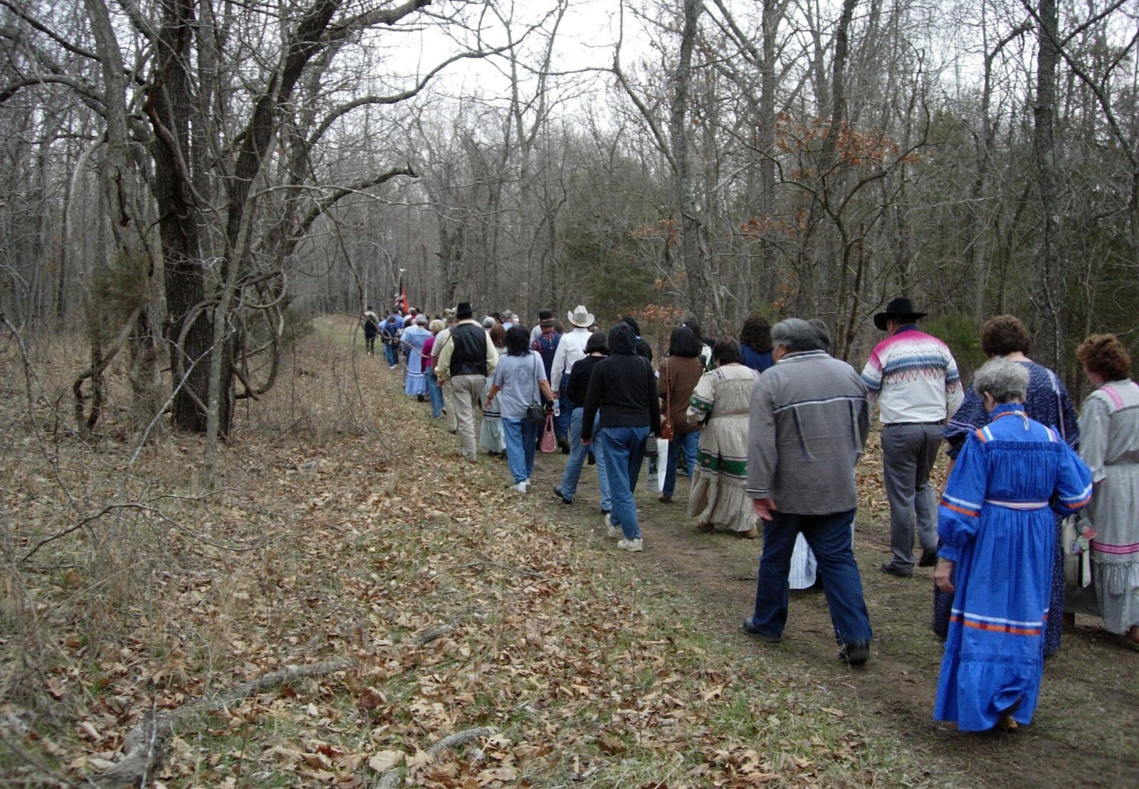
A line of walkers, some in Cherokee dress, follows a leaf-covered path through bare winter woods at Pea Ridge National Military Park.NPS Staff / Public domain via Wikimedia Commons
🏛️Historical

Pea Ridge National Military Park

Part ofBentonville, Fayetteville & Eureka Springs

Where Union troops held the March 1862 Civil War battle that kept Missouri in the Union, with Elkhorn Tavern, a Cherokee Trail of Tears road and a signed tour route.

⏱
Duration
Two to four hours for the tour road and a walk.
🎟
Admission
An entry fee applies; check the park for the current amount.
📅
Best Season
Year round; the visitor center is usually open 8 a.m. to 5 p.m. and closed Thanksgiving, Christmas and New Year's Day (NPS, November 2026).

The Story

On March 7 and 8, 1862, about 10,250 Union soldiers under Samuel Curtis met about 16,000 Confederates under Earl Van Dorn on the fields around Leetown and Elkhorn Tavern. Two Confederate generals, Benjamin McCulloch and James McIntosh, were killed at Leetown. On the second day Van Dorn learned his supply trains were still at Bentonville, and his men withdrew east. The Union lost 1,384 men and the Confederates about 2,000, and the result kept Missouri in the Union. The 2nd Cherokee Mounted Rifles, led by Stand Watie, fought here on the Confederate side.

The tavern sits on the old road from Springfield to Fayetteville, called Telegraph Road. William Ruddick built it in the 1830s as a log dogtrot house, and Jesse and Polly Cox bought it with 313 acres in 1858. Butterfield stagecoaches stopped there, Union officers made it a headquarters, and the Confederates used it as a field hospital. Guerrillas burned it in 1863. In the winter of 1838 and 1839, thousands of Cherokee passed it on the way to Indian Territory and camped in the fields to the south. Park records count 10,370 Cherokee on this stretch of the Trail of Tears, and a short mowed path leads north from the tavern. The journal of the B.B. Cannon contingent, one of the few kept, carries limited information about enslaved people who went west with the Cherokee in 1837.

The park is at 15930 E. Highway 62 in Garfield, established in 1956 and dedicated in 1963. A film at the visitor center and a signed tour road introduce the field.

Visitor Info

⏱
Time Needed
Two to four hours for the tour road and a walk.
🎟
Admission
An entry fee applies; check the park for the current amount.
📅
Best Season
Year round; the visitor center is usually open 8 a.m. to 5 p.m. and closed Thanksgiving, Christmas and New Year's Day (NPS, November 2026).
🛣️
Highway
US 62

On the Map

Nearby

The closest stops worth working into your route

cultural11 mi away
Crystal Bridges Museum of American Art
A 2011 Moshe Safdie building on 120 acres of Ozark forest in Bentonville, with free admission, six trails, two ponds, a spring, an arboretum and a relocated Frank Lloyd Wright house.
cultural11 mi away
Walmart Museum
Sam Walton's 1950 variety store on the Bentonville square, now a free museum with his 1979 pickup, a recreated office, the 1945 Newport store door and a 1950s-style soda counter.
natural12 mi away
Hobbs State Park-Conservation Area
Arkansas's largest state park, about 12,000 acres on Beaver Lake, with the Van Winkle mill site, a graveyard of enslaved people, 54 miles of trail and regulated hunting.
architectural14 mi away
Thorncrown Chapel
E. Fay Jones's 1980 glass-and-timber chapel in the Eureka Springs woods, 48 feet high with 425 windows, ranked by the AIA among the best American buildings of its century.
natural15 mi away
Roaring River State Park
A deep valley cut into the edge of the Ozark Plateau south of Cassville, with a fern-hung spring, a trout hatchery on an 1865 mill dam, and land bought with a patent-medicine fortune.
historical16 mi away
Eureka Springs Historic District
An 1879 Ozark spring town on a bluff, with 230 streets and none at right angles, Basin Spring Park, the 1886 Crescent Hotel and a National Register district since 1970.

Historical markers nearby

Roadside plaques and monuments within a short detour

Marker18 mi away
Butterfield Overland Mail in Missouri - 1858-1861
Missouri
Marker26 mi away
McDonald County
Missouri