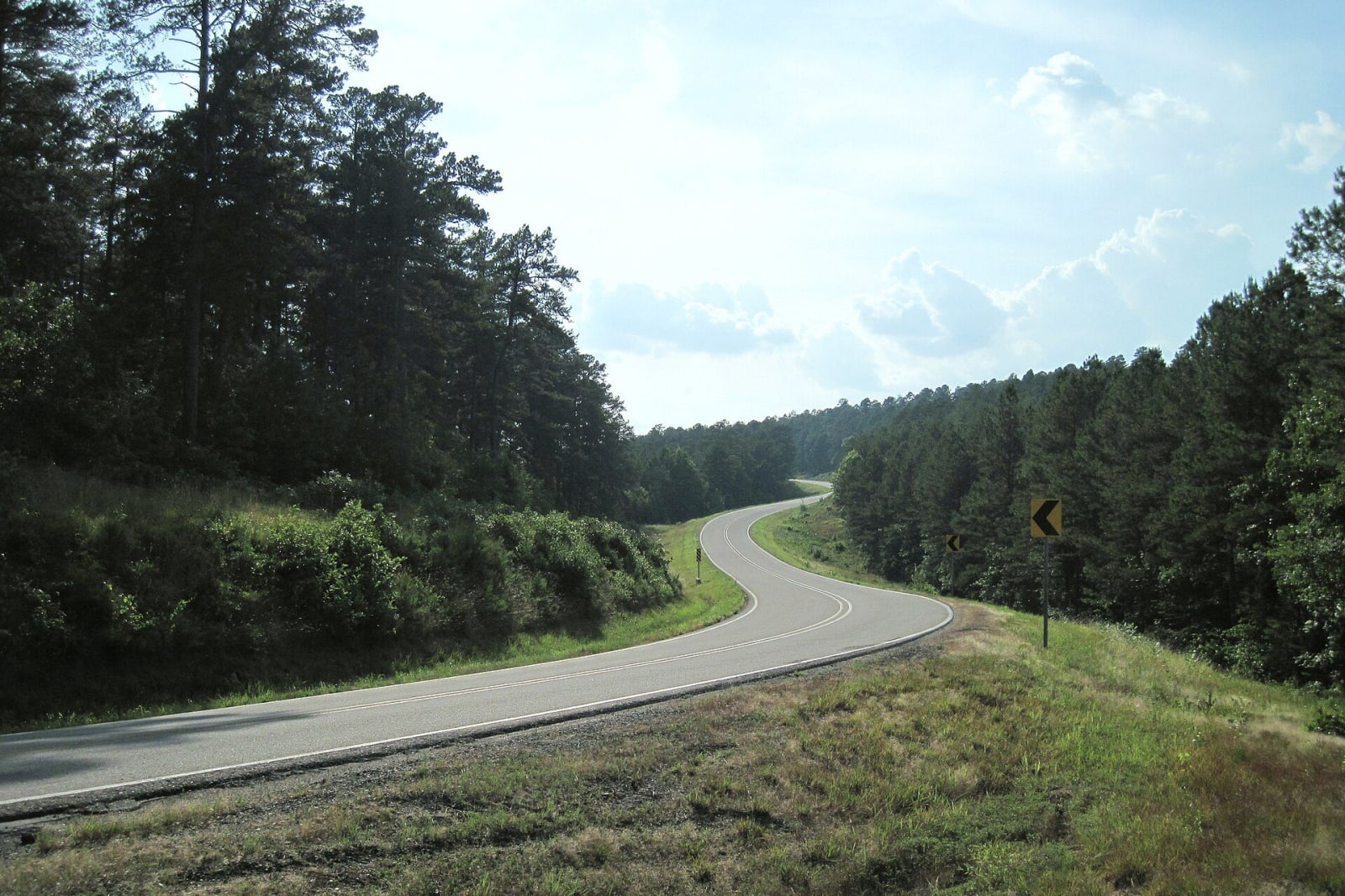
Arkansas Scenic 7: Harrison to Hot Springs
About 166 miles on Arkansas Scenic 7, the state's first byway, from Harrison through Jasper and the Ozark and Ouachita forests to Russellville and Hot Springs.
The Route at a Glance
Arkansas Scenic 7 was the state's first scenic byway. The Arkansas Highway Commission set up a statewide byway system soon after Congress created the national program in 1991, and in 1993 Highway 7 from Arkadelphia to Harrison was designated. A 1999 extension carried it to the Louisiana line, about 290 miles in all. This drive takes 166 miles of it, about four hours without stops, from Harrison south to Garvan Woodland Gardens below Hot Springs, through the Ozark and Ouachita national forests. Buffalo River & the Ozark Mountains, Fort Smith & the Arkansas River Valley and Hot Springs & the Ouachitas cover the country.
Harrison won its place in a county seat contest. When Boone County was cut from Carroll County in 1869, the seat went to a new town on Crooked Creek rather than Confederate-leaning Bellefonte, and a countywide vote in 1875 kept it there. Just south, at Caravan Spring, roughly 120 to 150 settlers, mostly Arkansans, set out for California in April 1857. They were attacked at Mountain Meadows in Utah Territory that September, and the Encyclopedia of Arkansas says historians still disagree on the number of dead and on who gave the order. Seventeen children survived, and the Army returned most of them to Arkansas.
Highway 7 was paved from Harrison to Jasper in the 1950s. North of Jasper a 1931 truss bridge carried it over the Buffalo River at Pruitt until a new bridge opened on May 14, 2021. Jasper has three stories for its name, one of them that Cherokee travelers on the Trail of Tears named it for the welcome they received, and its courthouse is a 1942 WPA project.
The road reaches the Arkansas River Valley at Dover, laid out in 1832, and Russellville, which grew after the railroad arrived in 1873. Lake Dardanelle State Park tells what the river carried before the dam: between late 1831 and 1859, Cherokee, Choctaw, Muscogee (Creek), Seminole and Chickasaw people forced west passed through or by Norristown, across from Dardanelle. Mount Nebo and Holla Bend National Wildlife Refuge lie off AR 155 to the south.
Below Dardanelle the highway enters the Ouachita National Forest, created in 1907 as the Arkansas National Forest and now nearly 1.8 million acres. It reaches Hot Springs as Central Avenue, past Bathhouse Row, where African Americans worked in the bathhouses after Reconstruction but could not freely bathe in them until desegregation in 1965. The Buckstaff has operated since 1912, and the Gangster Museum tells how the town ran gambling openly. The drive ends at Garvan Woodland Gardens on Lake Hamilton.
The Drive, Stop by Stop
8 stops along the route, in driving order from Harrison, Arkansas to Garvan Woodland Gardens, Hot Springs, Arkansas. 3 of them sit off the road itself — the distance is noted on each.
- 1
- 2
- 3
- 4
- 5
- 6
- 7
- 8
That's the drive. Take your time, pull over often, and let Arkansas Scenic 7: Harrison to Hot Springs do what it does best.
← Explore more of Open Road Guide