Home / Missouri / Ste. Genevieve, Cape Girardeau & the Bootheel / Washington State Park
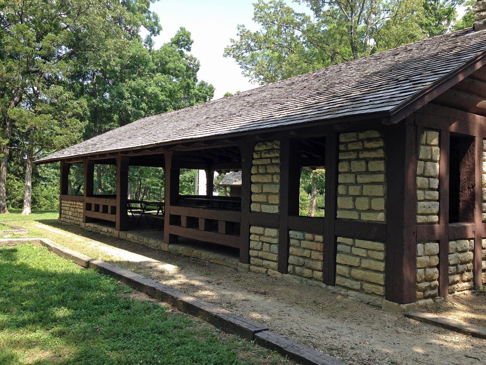
The long stone and timber CCC picnic pavilion under oak trees at Washington State Park.Fredlyfish4 / CC BY-SA 3.0 via Wikimedia Commons
🏛️Historical

Washington State Park

Part ofSte. Genevieve, Cape Girardeau & the Bootheel

Big River hills with the largest group of petroglyphs found in Missouri and the stonework of Company 1743, an African American Civilian Conservation Corps company that named its camp for a carved thunderbird.

⏱
Duration
An hour for the petroglyphs; half a day with the 1,000 Steps Trail.
🎟
Admission
No entrance fee is listed by Missouri State Parks. Park grounds and both petroglyph sites are open 7 a.m. to sunset, year-round.
📅
Best Season
Spring for the hardwood wildflowers; April through October, when Thunderbird Lodge keeps full hours.

The Story

The carvings came first. Missouri State Parks attributes them to people of the culture archaeologists call Mississippian, who lived around here about A.D. 1000 and held ceremonies at this place, and it calls the park's petroglyphs the largest group yet found in Missouri. For their number and quality they were placed on the National Register of Historic Places in 1970. Two sites are open. At the main one, across Highway 104 from the road to the CCC Ridge Shelter, a level paved path leads to a covered shelter and a wooden deck above the carvings; the smaller one is beside the interpretive center. Stay on the walkways and decks, never step on the rock.

The first land for the park was donated in 1932, and Company 1743 of the Civilian Conservation Corps, an African American company, built most of what stands. Taking their lead from the carvings, the men called their barracks Camp Thunderbird. They built a stone dining lodge with a thunderbird carved into its chimney and hand-forged iron hinges on its doors, and worked on 14 buildings, among them an octagonal lookout shelter. In 1936 they built the 1,000 Steps Trail, a 1.25-mile loop whose big stone steps climb to an overlook shelter made to look like a natural outcrop above the Big River valley. The park's National Register citation praises their stonework.

Their lodge, Thunderbird Lodge, is now the park store and the check-in for cabins and floats. Shallow pits along the Opossum Track Trail are old diggings for barite, called tiff here.

Visitor Info

⏱
Time Needed
An hour for the petroglyphs; half a day with the 1,000 Steps Trail.
🎟
Admission
No entrance fee is listed by Missouri State Parks. Park grounds and both petroglyph sites are open 7 a.m. to sunset, year-round.
📅
Best Season
Spring for the hardwood wildflowers; April through October, when Thunderbird Lodge keeps full hours.
🛣️
Highway
MO-104/MO-21

On the Map

Nearby

The closest stops worth working into your route

industrial19 mi away
Missouri Mines State Historic Site
Federal Mill No. 3 at Park Hills, the biggest lead mine and mill complex of the Old Lead Belt under St. Joseph Lead, with its 1906 powerhouse now a museum of mining machines and minerals.
attraction25 mi away
Meramec Caverns
A saltpeter cave turned show cave by Lester Dill in 1933, who sold it to Route 66 with barns painted in 14 states, bumper signs and a Jesse James story.
geological26 mi away
Mastodon State Historic Site
The Kimmswick Bone Bed, misread and quarried for more than a century until a Clovis point found among mastodon bones in 1979 gave the first solid evidence that people and mastodons lived here together.
geological29 mi away
Elephant Rocks State Park
A train of rounded granite boulders 1.5 billion years old near Graniteville, weathered in place into a tor, beside the quarry that faced the Eads Bridge piers and paved the St. Louis levee.
geological30 mi away
Onondaga Cave State Park
A Meramec River show cave entered first by boat from a millpond, split by barbed wire in a property war, saved from a dam that would have drowned it, and held sacred by the Osage Nation.
natural30 mi away
Hawn State Park
A schoolteacher's bequest of sandstone canyons, shortleaf pine and clear sandy creeks west of Ste. Genevieve, with one of the state's best backpacking trails.

Historical markers nearby

Roadside plaques and monuments within a short detour

Marker11 mi away
Potosi
Marker12 mi away
Jefferson County
Marker13 mi away
Bonne Terre