Home / Missouri / Ste. Genevieve, Cape Girardeau & the Bootheel / Towosahgy State Historic Site
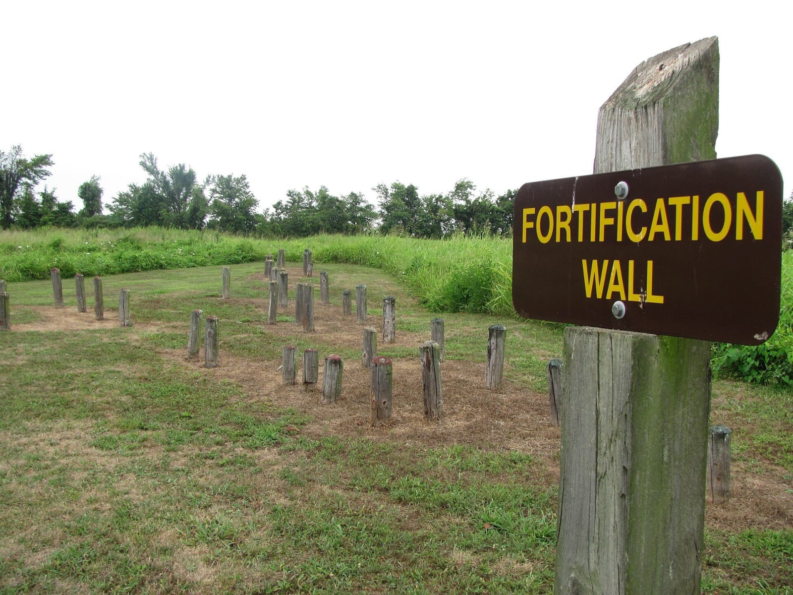
A wooden sign reading Fortification Wall beside rows of short posts that mark the line of the old palisade at Towosahgy State Historic Site.Missouri State Parks / public domain via Wikimedia Commons
🏛️Historical

Towosahgy State Historic Site

Part ofSte. Genevieve, Cape Girardeau & the Bootheel

A fortified Mississippian town in the Bootheel fields of Mississippi County, with seven earthen mounds around a plaza and a modern name meant to approximate the Osage and Quapaw words for old town.

⏱
Duration
Under an hour.
🎟
Admission
No fee is listed by Missouri State Parks.
📅
Best Season
Spring and fall.

The Story

Seven earthen mounds and a borrow pit, where the earth for them was dug, rise from flat farmland in Mississippi County. People first lived here in a Late Woodland village, from about A.D. 400 to 700. Around 900 the signs of Mississippian culture appear, and the place grew into a ceremonial center and a fortified town of some 250 to 300 houses inside a palisade, a wall of posts set upright in the ground, with more houses scattered outside it. Mound 5, a conical mound, was likely where the town's elite lived. For reasons no one knows, the Mississippians left around 1400. They left no written record of what they called themselves or their town. Archaeologists also know the site as Beckwith's Fort, and it was listed on the National Register of Historic Places in 1969.

Missouri State Parks bought the land in 1967 and asked for a name that would honor its Native associations. The Osage and the Quapaw were the last nations known to have lived on this land, and the name chosen, Towosahgy, was meant as a close English approximation of their words for old town. It is a name given in the twentieth century, not the town's own.

Today short posts show where the palisade once stood, and panels explain what excavations have found. Missouri law makes it a felony to disturb any marked or unmarked human burial site, and state law protects every object in the park. Keep off the mounds and take nothing.

Visitor Info

⏱
Time Needed
Under an hour.
🎟
Admission
No fee is listed by Missouri State Parks.
📅
Best Season
Spring and fall.
🛣️
Highway
MO-77/MO-FF

On the Map

Nearby

The closest stops worth working into your route

natural5.3 mi away
Big Oak Tree State Park
The last piece of the Bootheel's old bottomland forest, saved in 1938 with schoolchildren's dimes, with a cypress swamp and trees that top 130 feet.
natural17 mi away
Reelfoot National Wildlife Refuge
The federal refuge around Reelfoot Lake, with a visitor center, a 3.5-mile auto tour, viewing towers and canoe trails, on land the Chickasaw gave up in 1818.
geological18 mi away
New Madrid Historical Museum
A river-town museum in the old Kendall Saloon at the foot of Main Street in New Madrid, centered on the earthquakes of 1811 and 1812 and the seismic risk the town still lives with.
cultural20 mi away
Discovery Park of America
A large museum and 50-acre heritage park in Union City, built on the old Obion County Museum, with Native American, earthquake and regional history galleries.
historical21 mi away
Mt. Zion CME Church
Union City's 1896 brick church built by its Black congregation, the oldest surviving example of African American craftsmanship in town, listed on the National Register.
historical22 mi away
Island No. 10 and Tiptonville
A roadside marker north of Tiptonville for the 1862 river battle that opened the Mississippi toward Memphis, on an island the river has since erased.

Historical markers nearby

Roadside plaques and monuments within a short detour

Marker16 mi away
Mississippi County
Marker18 mi away
New Madrid
Marker22 mi away
First Monument to Unknown Confederate Dead
Union City, Tennessee
Marker25 mi away
Troy
Troy, Tennessee
Marker26 mi away
General Clifton Bledsoe Cates
Tiptonville, Tennessee