Home / Missouri / St. Louis & the Confluence / Old Chain of Rocks Bridge
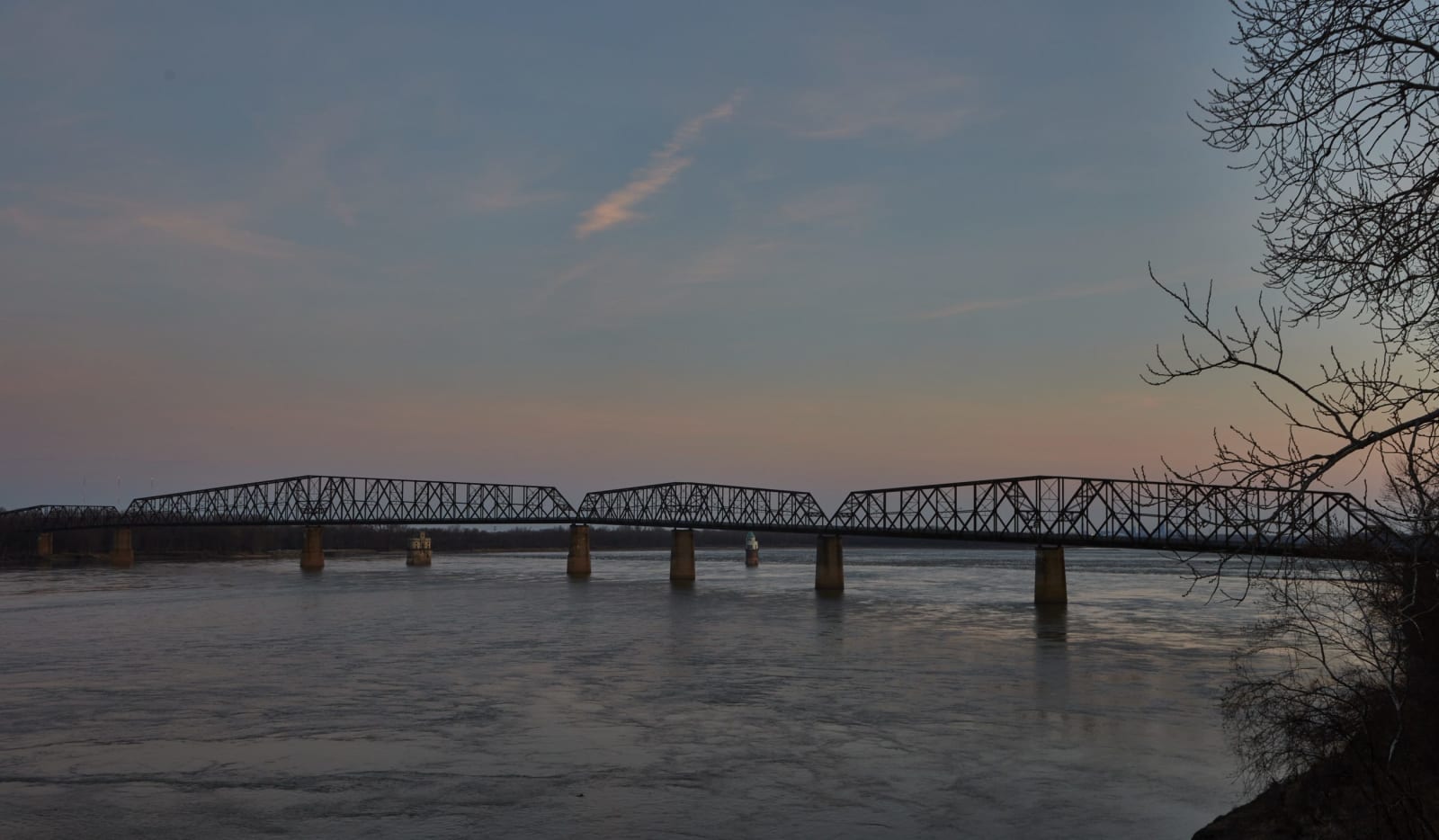
The steel truss spans of the Old Chain of Rocks Bridge crossing the Mississippi River at dusk.Carol M. Highsmith / public domain via the Library of Congress
🏗️Architectural

Old Chain of Rocks Bridge

Part ofSt. Louis & the Confluence
On these drivesRoute 66 Across Missouri: St. Louis to JoplinThe Great River Road: Hannibal to Ste. Genevieve

A mile-long 1929 truss bridge over the Mississippi with a 22-degree bend in the middle, once Route 66's bypass around St. Louis and now a walking and cycling crossing to Illinois.

⏱
Duration
An hour to walk to the bend and back; about two miles round trip to Illinois.
🎟
Admission
No fee is posted for the greenway.
📅
Best Season
Year round; spring and fall are the easiest seasons to walk or ride across.

The Story

The bridge takes its name from the Chain of Rocks, a stretch of rock ledges and rapids that made the Mississippi above St. Louis so dangerous that by the 1940s it was the last obstacle to a nine-foot channel from St. Paul to New Orleans. The Corps of Engineers answered with a canal around the reach and, in the 1960s, a low-water dam just below the bridge that keeps most of the rocks under water. The city's waterworks went in here from 1887, and the riverbank park beside it drew picnickers by streetcar and, from 1923 to 1977, an amusement park.

Private investors built the bridge as a toll crossing, at a cost of $3 million, and it opened in January 1929. Halfway across it turns 22 degrees, a bend forced during construction by a water intake and by bedrock that could not carry piers where the straight line wanted them. The company went bankrupt by 1932. In the 1930s Bypass US 66 was routed over it so through traffic could skirt downtown. Madison, Illinois, which came to own it, lifted the tolls in 1966, the year the new Interstate 270 bridge opened just upstream, and the old bridge closed to cars on February 25, 1970.

For almost thirty years it stood empty. In 1998 the trails group Trailnet leased it and opened it to walkers and cyclists, and since 2014 Great Rivers Greenway has run it as the north end of the Mississippi Greenway. It was listed on the National Register in 2006.

Visitor Info

⏱
Time Needed
An hour to walk to the bend and back; about two miles round trip to Illinois.
🎟
Admission
No fee is posted for the greenway.
📅
Best Season
Year round; spring and fall are the easiest seasons to walk or ride across.
🛣️
Highway
I-270

On the Map

Nearby

The closest stops worth working into your route

historical6.1 mi away
Mary Meachum Freedom Crossing
A riverbank on the St. Louis Riverfront Trail where, in May 1855, the widow Mary Meachum tried to get nine enslaved people across the Mississippi to Illinois, Missouri's first Network to Freedom site.
cultural9 mi away
Scott Joplin House State Historic Site
The Delmar Boulevard flat where Scott Joplin lived after the Maple Leaf Rag made him famous and wrote The Entertainer, saved by Black St. Louis and kept as a state site.
architectural9.3 mi away
Cathedral Basilica of Saint Louis
A Romanesque and Byzantine cathedral on Lindell Boulevard begun in 1907, whose mosaics took until 1988 to finish and now hold 41.5 million tesserae.
historical9.6 mi away
Old Courthouse
The courthouse where enslaved people were auctioned at the east door and where Dred and Harriet Scott and some three hundred others sued for their freedom.
architectural9.6 mi away
Gateway Arch National Park
Saarinen's 630-foot steel arch on the ground of the old French town, forty blocks razed for it after a rigged bond vote, with a free museum under its legs.
natural11 mi away
Missouri Botanical Garden
Henry Shaw's 1859 garden in south St. Louis, with his 1849 country house, the geodesic Climatron of 1960 and a Japanese garden laid around a four-acre lake.

Historical markers nearby

Roadside plaques and monuments within a short detour

Marker16 mi away
Saint Charles
Marker19 mi away
Saint Louis