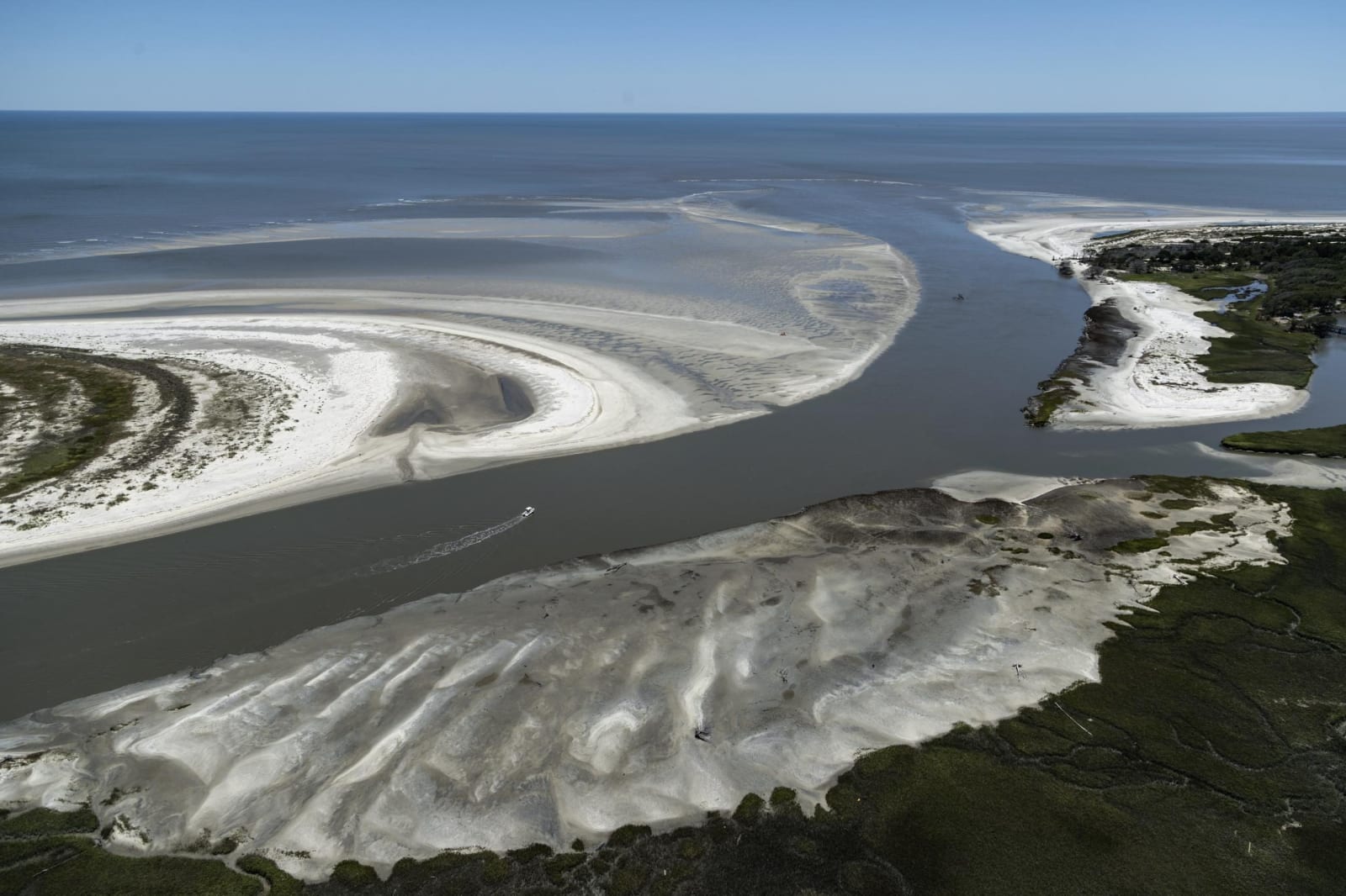
An aerial view of white sandbars and a tidal channel at the mouth of Blackbeard Creek on Sapelo Island, with the Atlantic beyond.
Carol M. Highsmith / public domain via Library of Congress
Georgia · Region

Savannah & the Golden Isles

Georgia's coast from Savannah's squares to Cumberland Island: Yamacraw Bluff, rice plantations, the Weeping Time, Fort Pulaski and the Geechee of Sapelo.

12 places to explore

Long before Savannah, the Guale and Timucua lived along these marshes and barrier islands, and Spanish missions stood on Sapelo and Cumberland. The Yamacraw, a band of Muscogee (Creek) and Yamasee people led by Tomochichi, held the bluff where Oglethorpe laid out his city of squares in 1733, and the Muscogee kept Sapelo as hunting ground until 1757. At Darien, Fort King George watched the mouth of the Altamaha from 1721.

Rice and Sea Island cotton made this coast rich on the labor of enslaved people at Wormsloe, at Hofwyl-Broadfield and at Butler Island, from which hundreds of people were sold at Savannah in 1859, the Weeping Time. In 1858 the Wanderer landed captive Africans on Jekyll Island. Freedom came early at Fort Pulaski in 1862, and on Sapelo the Geechee community of Hog Hammock descends from the people once enslaved on the island.

Savannah's First African Baptist Church and the Ralph Mark Gilbert Civil Rights Museum carry the story into the twentieth century, and at Dorchester Academy in Midway the SCLC trained the teachers of its citizenship schools and planned the 1963 Birmingham campaign. Cumberland Island, a ferry ride from St. Marys, ends the coast in maritime forest and empty beach, with a Baptist church built by descendants of its freedpeople still standing on the north end.

What to See in Savannah & the Golden Isles

12 places across the region, grouped by what they are.

Natural Areas
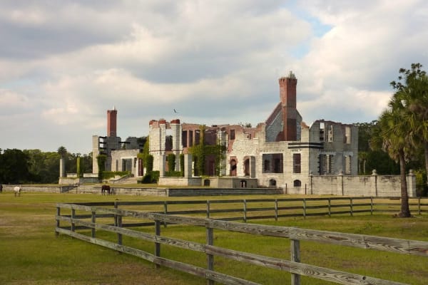
The roofless masonry ruins of Dungeness on Cumberland Island behind a wooden rail fence and open lawn.

Cumberland Island National Seashore

St. Marys

Georgia's largest and southernmost barrier island, reached by passenger ferry from St. Marys: maritime forest, 18 miles of beach and the ruins of Dungeness.

View details →

Historic Sites

Butler Island Plantation

Darien

The rice plantation south of Darien where Fanny Kemble kept her journal, and whose enslaved people were sold in 1859 in the Weeping Time.

View details →

Dorchester Academy

Midway

A freedpeople's school in Midway whose 1934 boys' dormitory became the SCLC's citizenship school and the room where Project C for Birmingham was drawn up.

View details →
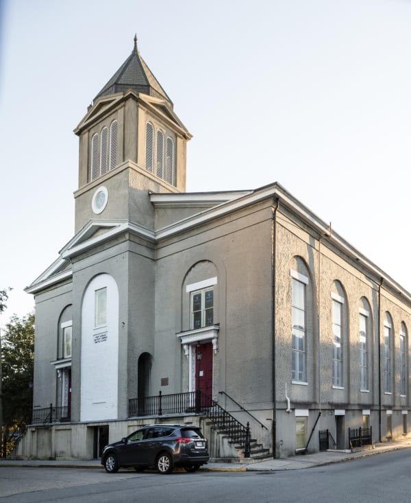
A stuccoed church with a square bell tower, arched windows and a front stair on a Savannah street corner.

First African Baptist Church

Savannah

One of the oldest Black Baptist congregations in North America, on Franklin Square since 1859, and the pulpit of Savannah's civil rights movement.

View details →
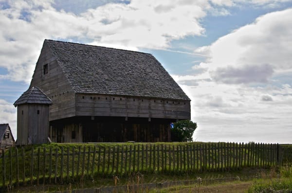
The reconstructed weathered-wood blockhouse of Fort King George behind a low palisade under a partly cloudy sky.

Fort King George State Historic Site

Darien

A rebuilt 1721 cypress blockhouse at the mouth of the Altamaha, Britain's southernmost outpost in North America, in Guale country beside Darien.

View details →
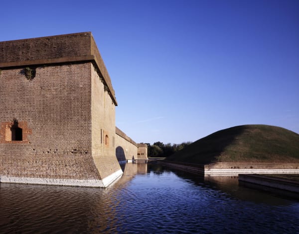
The brick walls of Fort Pulaski rising from its water-filled moat under a clear blue sky, with a grassy earthwork beyond.

Fort Pulaski National Monument

Savannah

The brick fort on Cockspur Island that rifled cannon broke in 1862, where General Orders No. 7 freed the enslaved and a contraband camp grew.

View details →
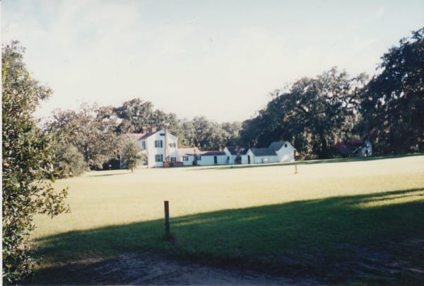
The white frame Hofwyl house and outbuildings seen across a wide lawn framed by live oaks.

Hofwyl-Broadfield Plantation State Historic Site

Brunswick

A rice plantation on the Altamaha where 357 people were enslaved, later a family dairy, with the old rice fields still visible from the marsh trail.

View details →
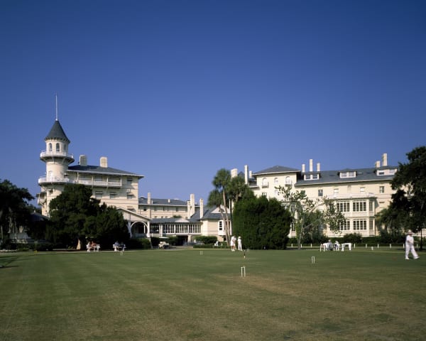
The turreted Jekyll Island Club clubhouse behind a wide lawn where a few people play croquet.

Jekyll Island Historic District

Jekyll Island

The Gilded Age club island where the Wanderer landed 409 captive Africans in 1858 and St. Andrews Beach was Georgia's only beach open to Black visitors.

View details →
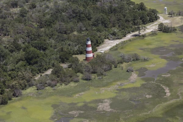
An aerial view of the red-and-white striped Sapelo Island lighthouse among marsh and maritime forest.

Sapelo Island and Hog Hammock

Darien

A state-owned barrier island reached by ferry from Meridian, home to Hog Hammock, a Geechee community descended from the people enslaved on Spalding's plantation.

View details →
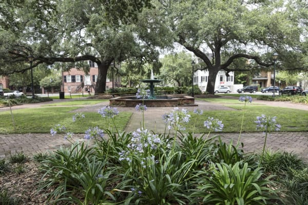
Columbia Square in Savannah, with a fountain, brick paths and agapanthus under spreading live oaks.

Savannah Historic District

Savannah

Oglethorpe's 1733 grid of wards and squares on Yamacraw Bluff, where Tomochichi is buried in Wright Square and Black ministers met Sherman before Field Order No. 15.

View details →
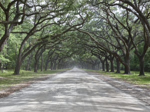
A long sandy avenue under arching live oaks hung with Spanish moss.

Wormsloe State Historic Site

Savannah

Noble Jones's colonial estate on the Isle of Hope, with tabby ruins from the 1730s, an avenue of live oaks and a plantation worked by enslaved people.

View details →

Towns & Gateways

Ralph Mark Gilbert Civil Rights Museum

Savannah

Savannah's civil rights museum in a 1914 Black-owned bank on old West Broad Street, named for the pastor who rebuilt the city's NAACP.

View details →

Scenic Drives through Savannah & the Golden Isles

Scenic Byway

US 17, the Ocean Highway: Savannah, Midway, Darien and Brunswick

About 80 miles down the old coast road, from Franklin Square and Martin Luther King Jr. Boulevard in Savannah through Richmond Hill, Midway, Riceboro and Darien, across the Altamaha delta past Butler Island and Hofwyl-Broadfield, to Brunswick.

80 mi · 2.1 hrs

Savannah & the Golden Isles rewards the unhurried. Pick a base, fan out, and let the country between the headline stops surprise you.

← Explore more of Open Road Guide