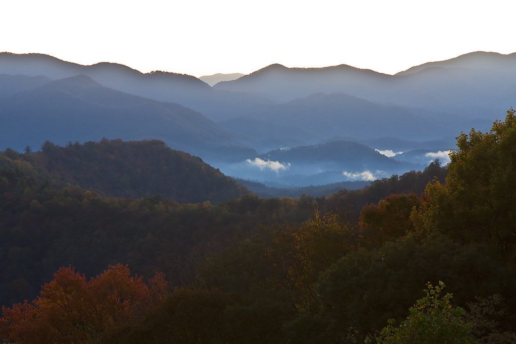
The Great Smokies & Cherokee Country
Cherokee homeland of the Qualla Boundary and Fort Butler, with Fontana Dam, the Road to Nowhere, Joyce Kilmer's old-growth forest and the Cherohala Skyway.
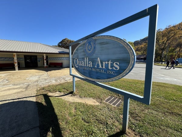
This is the heart of the Cherokee homeland, and the Eastern Band of Cherokee Indians still lives here. In 1838 the army funneled more than 3,000 Cherokee prisoners through Fort Butler at Murphy and marched them west, but the people of Quallatown on the Oconaluftee won the right to stay, and hundreds more hid in the Snowbird Mountains. Their descendants bought back land as the Qualla Boundary, where the Museum of the Cherokee People, the Qualla Arts and Crafts co-op and the Oconaluftee Indian Village stand in the town of Cherokee.
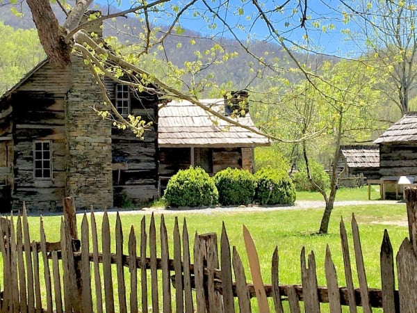
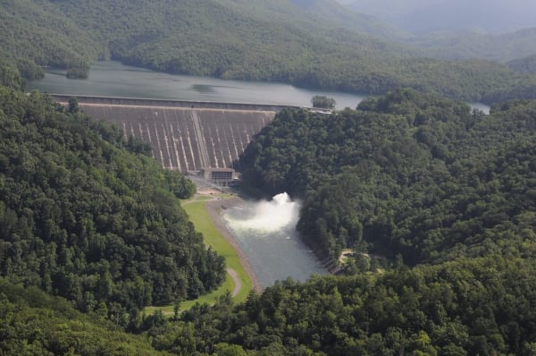
The national park and the dams came next. Behind the Oconaluftee Visitor Center, the Mountain Farm Museum and Mingus Mill keep the log farms of the valley's settlers. Fontana Dam, built for wartime aluminum, moved 1,311 families and drowned four towns, and Lakeview Drive above Bryson City is the road the government promised them, stopped at a tunnel in 1971.
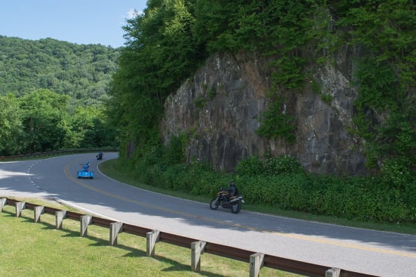
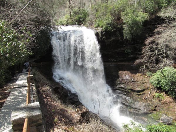
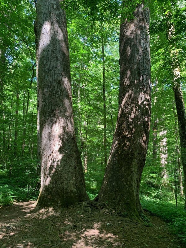
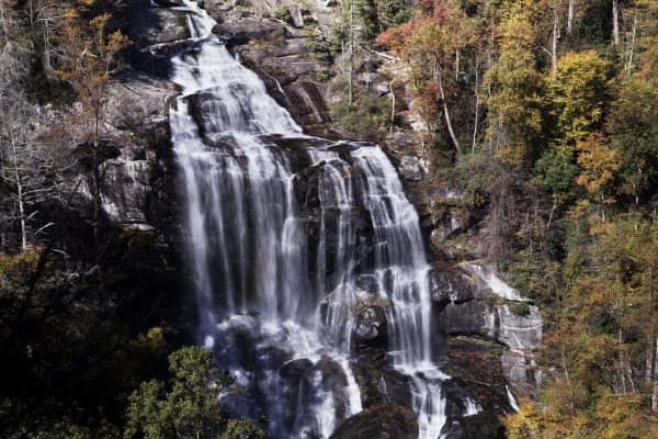
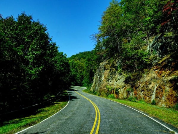
West of Robbinsville the Joyce Kilmer Memorial Forest keeps poplars more than 400 years old, and the Cherohala Skyway climbs past 5,400 feet toward Tennessee. In Brasstown the John C. Campbell Folk School has taught crafts since 1925. To the southeast the land breaks off the Blue Ridge Escarpment at Whitewater Falls, and US 64 threads the Cullasaja Gorge past Dry Falls.
What to See in The Great Smokies & Cherokee Country
12 places across the region, grouped by what they are.
Natural Areas
Historic Sites
Towns & Gateways
Industry & Mining
The Great Smokies & Cherokee Country rewards the unhurried. Pick a base, fan out, and let the country between the headline stops surprise you.
← Explore more of Open Road Guide